Savannah in Hardin County, Tennessee — The American South (East South Central)
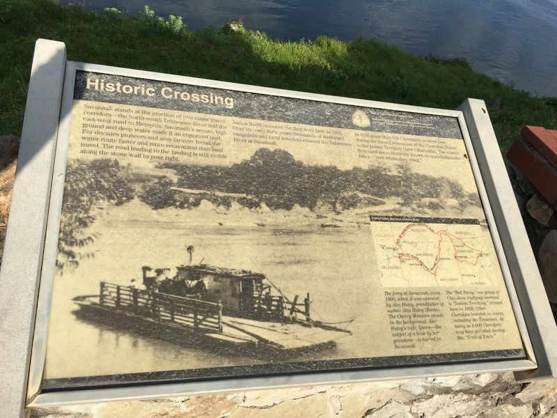
Historic Crossing
In 1838, more than 600 Cherokees crossed here during the forced relocation of the Cherokee Nation to the Indian Territory (now Oklahoma). The routes they used are collectiveley known as the nunahi-dunatlo-hilu-i- "trail where they cried."
Erected by Trail of Tears National Historic Trail.
Topics and series. This historical marker is listed in these topic lists: Native Americans • Roads & Vehicles. In addition, it is included in the Trail of Tears series list. A significant historical year for this entry is 1815.
Location. 35° 13.558′ N, 88° 15.431′ W. Marker is in Savannah, Tennessee, in Hardin County. Marker is on West Main Street. West Main dead ends at the historic Cherry Mansion. A walkway
Other nearby markers. At least 8 other markers are within walking distance of this marker. War on the River (here, next to this marker); The Cherry Mansion (here, next to this marker); a different marker also named Cherry Mansion (within shouting distance of this marker); Grant at Cherry Mansion (within shouting distance of this marker); War Comes to Savannah (approx. ¼ mile away); The Lost Petrified Forests of Savannah, Tennessee (approx. 0.4 miles away); Hardin County Confederate Memorial (approx. 0.4 miles away); Joseph Hardin (approx. 0.4 miles away). Touch for a list and map of all markers in Savannah.
Also see . . . The Trail of Tears National Historic Trail. Remember and commemorate the survival of the Cherokee people, forcefully removed from their homelands in Georgia, Alabama, and Tennessee to live in Indian Territory, now Oklahoma. They traveled by foot, horse, wagon, or steamboat in 1838-1839. (Submitted on April 30, 2017, by Brandon Stahl of Fairfax, Virginia.)

Photographed By Brandon Stahl, April 28, 2017
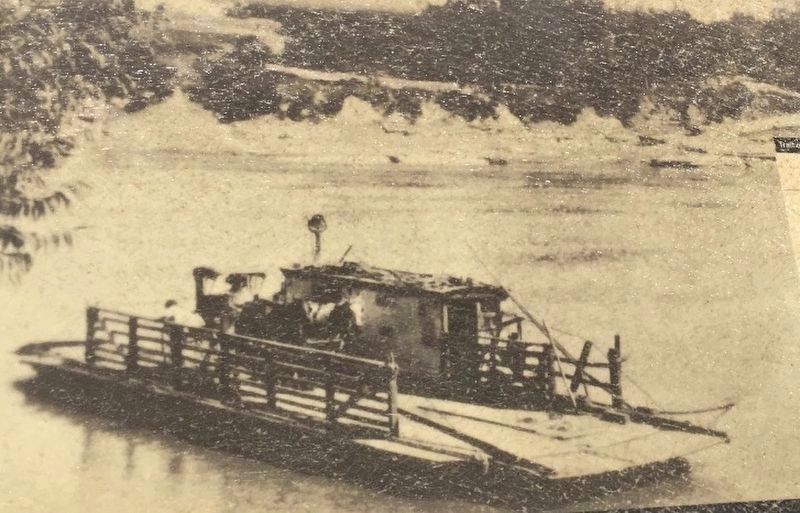
3. The Ferry at Savannah
The ferry at Savannah, circa 1900, when it was operated by Alex Haley (grandfather of author Alex Haley, best known for Roots). The Cherry Mansion stands in the background. Alex Haley and his wife, Queen - also the subject of a book by her grandson - are both buried in Savannah.

Photographed By Brandon Stahl, April 28, 2017
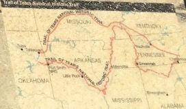
4. Trail of Tears Map
The "Bell Party," one group of Cherokees trudging overland to "Indian Territory," crossed here in 1838. Other Cherokees traveled on rivers, including the Tennessee. As many as 8,000 Cherokees may have perished during this "Trail of Tears."
Credits. This page was last revised on August 6, 2021. It was originally submitted on April 30, 2017, by Brandon Stahl of Fairfax, Virginia. This page has been viewed 766 times since then and 67 times this year. Photos: 1, 2, 3, 4, 5. submitted on April 30, 2017, by Brandon Stahl of Fairfax, Virginia. • Bill Pfingsten was the editor who published this page.


