Colonia Parque Nacional Cerro de la Estrella in Ciudad de México, Mexico — The Valley of Mexico (The Central Highlands)
The Hill of the Star
El Cerro de la Estrella
Inscription.
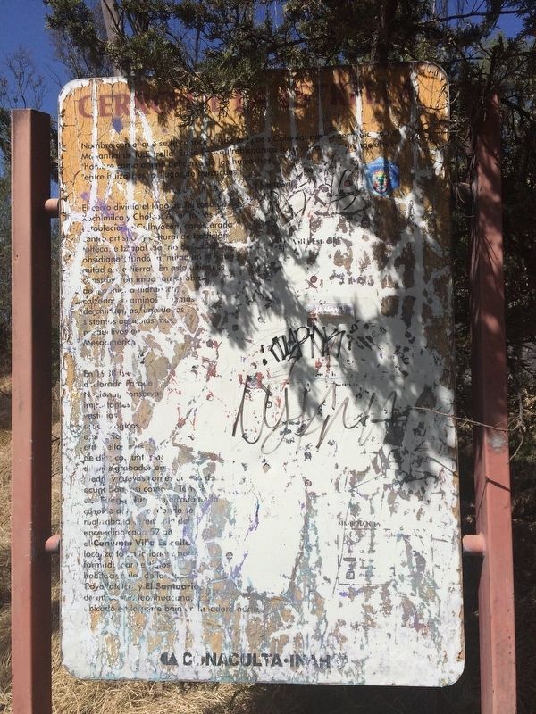
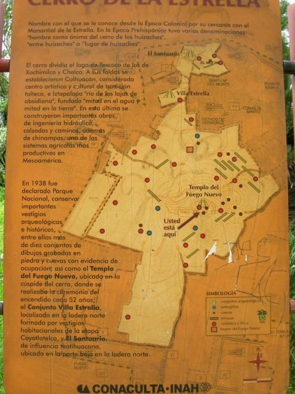
El cerro dividía el lago de Texcoco de los de Xochimilco y Chalco. A sus faldas se establecieron Culhuacán, considerada centro artístico y cultural de tradición tolteca, e Iztapalapa "río de las lajas de obsidiana", fundada "mitad en el agua y mitad en la tierra". En esta última se construyeron importantes obras de ingeniería hidráulica, calzadas y caminos, además de chinampas, uno de los sistemas agrícolas más productivos en Mesoamérica.
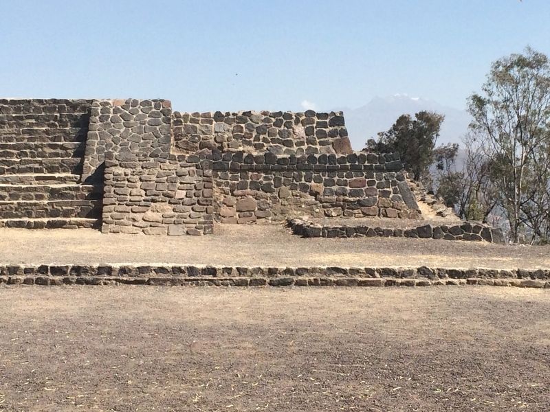
En 1938 fue declarado Parque Nacional, conserva importantes vestigios arqueológicos e históricos, entre ellos más de diez conjuntos de dibujos grabados en piedra y cuevas con evidencia de ocupación; asi como el Templo del Fuego Nuevo, ubicado en la cúspide del cerro, donde se realizaba la ceremonia del encendido cada 52 años; el Conjunto Villa Estrella, localizado en la ladera norte formado por vestigios habitacionales de la etapa Coyotlatelco, y El Santurario, de influencia teotihuacana, ubicado en laporte baja en la ladera norte.
In 1938 the area was declared a National Park, as it includes important archaeological and historical remains, among them more than ten petroglyph carvings and also caves with evidence of human presence. The Temple of the New Fire is located at the top of the hill, where the Aztec fire ceremony was performed every 52 years. The Villa Estrella Complex is located on the northern
slope of the hill and is formed of the remains of residences from the Coyotlatelco Era. The Sanctuary, which shows influence from Teotihuacán, is located on the lower northern slope of the hill.
Erected by Consejo Nacional para la Cultura y las Artes de México (CONACULTA)-INAH.
Topics. This historical marker is listed in these topic lists: Anthropology & Archaeology • Man-Made Features • Native Americans. A significant historical year for this entry is 1938.
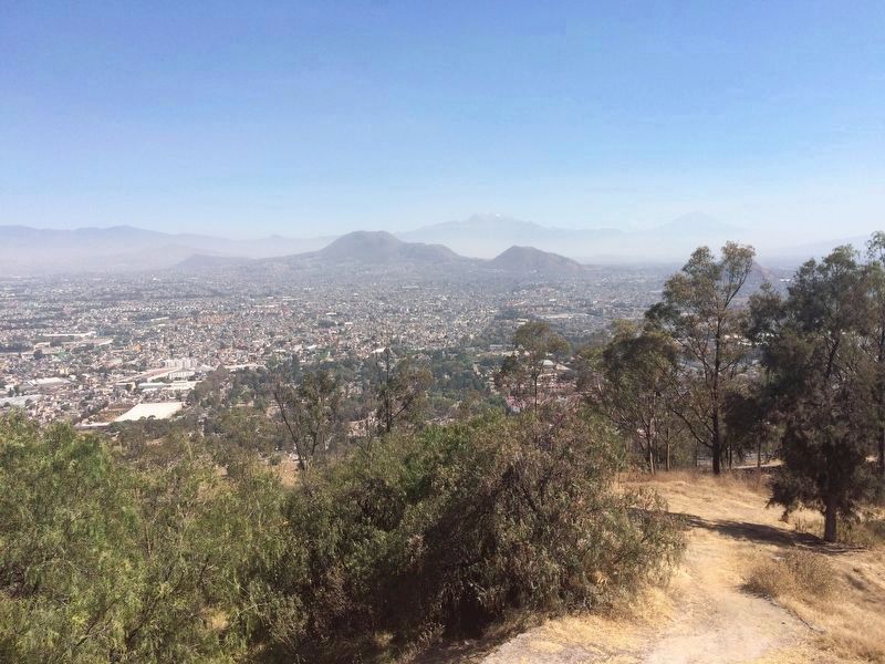
Location. 19° 20.592′ N, 99° 5.398′ W. Marker is in Ciudad de México. It is in Colonia Parque Nacional Cerro de la Estrella. Marker can be reached from Camino Cerro de la Estrella. The marker is at the very top of the Cerro de la Estrella National Park, at the only pedestrian entrance to the Temple of the New Fire (Templo del Fuego Nuevo), on the left while walking up a series of steps to the temple area at the very top of the hill. The marker and area are only accessible to pedestrians as vehicle traffic is prohibited to the highest area of the hill. Touch for map. Marker is in this post office area: Ciudad de México 09865, Mexico. Touch for directions.
Other nearby markers. At least 8 other markers are within 8 kilometers of this marker, measured as the crow flies. The Diego Rivera Anahuacalli Museum (approx. 6.1 kilometers away); Saint Patrick Battalion Plaza (approx. 6.3 kilometers away); Convent of Our Lady of the Angels of Churubusco
(approx. 6.3 kilometers away); Monument to the Mexican Fallen of 1847 (approx. 6.3 kilometers away); The Defense at the Battle of Churubusco (approx. 6.3 kilometers away); Leon Trotsky’s Funeral Column (approx. 7.5 kilometers away); Octavio Nicolás Fernández Vilchis (approx. 7.5 kilometers away); House of Hernán Cortés (approx. 7.6 kilometers away). Touch for a list and map of all markers in Ciudad de México.
Also see . . . The New Fire Ceremony. (Submitted on May 17, 2017, by J. Makali Bruton of Accra, Ghana.)
Credits. This page was last revised on April 17, 2020. It was originally submitted on May 17, 2017, by J. Makali Bruton of Accra, Ghana. This page has been viewed 151 times since then and 7 times this year. Photos: 1, 2, 3, 4. submitted on May 17, 2017, by J. Makali Bruton of Accra, Ghana.


