Franklin in Williamson County, Tennessee — The American South (East South Central)
Battle of Franklin, Eastern Flank
Distances to Local & State Landmarks
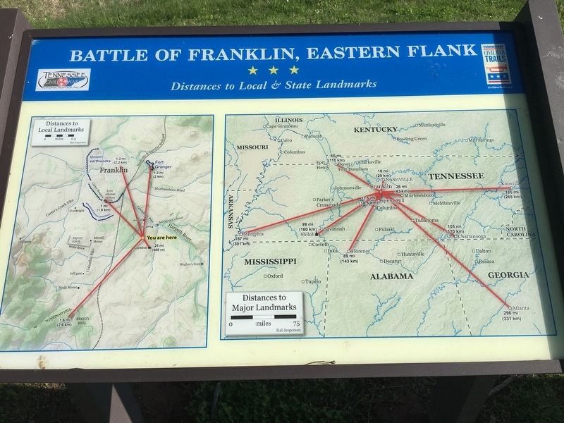
Photographed by Brandon Stahl, April 26, 2017
1. Battle of Franklin, Eastern Flank Marker
(left) Distances to Local Landmarks
(right) Distances to Major Landmarks
Erected by Tennessee Civil War Trails.
Topics and series. This historical marker is listed in this topic list: War, US Civil. In addition, it is included in the Tennessee Civil War Trails series list.
Location. 35° 54.404′ N, 86° 51.653′ W. Marker is in Franklin, Tennessee, in Williamson County. It can be reached from Eastern Flank Circle 0.4 miles south of Lewisburg Pike (Business U.S. 431), on the right when traveling west. Located in Eastern Flank Battlefield Park. Touch for map. Marker is at or near this postal address: 1345 Eastern Flank Cir, Franklin TN 37064, United States of America. Touch for directions.

Regionally, this marker is in Middle Tennessee and in Greater Nashville. It is also in the American South and specifically in the Upper South. Globally, it is in North America, the Western Hemisphere, the Western World, and the Anglosphere. Historically, it finds itself in what was once the territory of the Mississippian Culture, one of the Confederate States
this page online
Other nearby markers. At least 8 other markers are within walking distance of this marker: A different marker also named Battle of Franklin (here, next to this marker); a different marker also named Battle of Franklin, Eastern Flank (within shouting distance of this marker); Battle of Franklin, Aftermath (about 300 feet away, measured in a direct line); a different marker also named Battle of Franklin, Eastern Flank (about 400 feet away); Confederate Reunions at McGavock's Grove (about 400 feet away); A Dream Postponed (about 400 feet away); The Long Road to Recovery (about 400 feet away); a different marker also named Battle of Franklin, Eastern Flank (about 400 feet away). Touch for a list and map of all markers in Franklin.
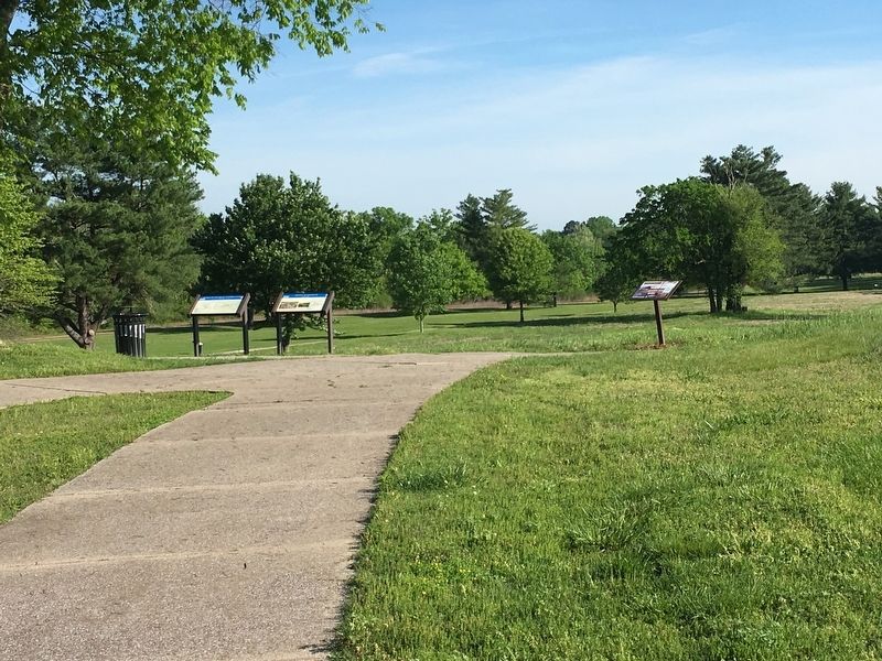
Photographed by Brandon Stahl, April 26, 2017
2. Battle of Franklin, Eastern Flank Marker
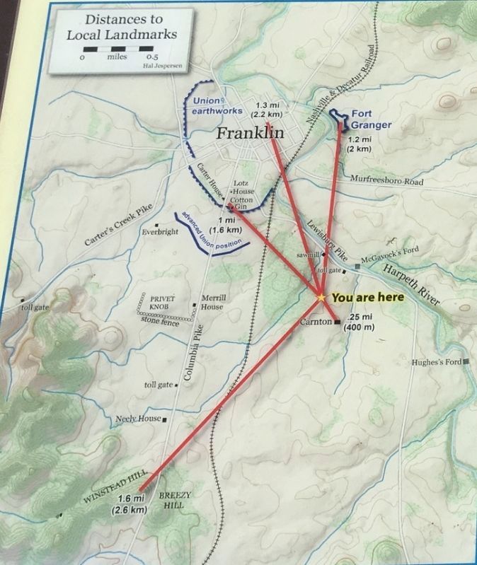
3. Distances to Local Landmarks
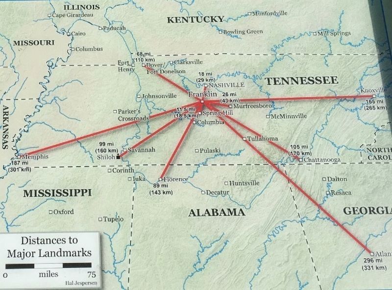
4. Distances to Major Landmarks
Credits. This page was last revised on August 27, 2020. It was originally submitted on May 18, 2017, by Brandon Stahl of Fairfax, Virginia. This page has been viewed 613 times since then and 30 times this year. Photos: 1, 2, 3, 4. submitted on May 18, 2017, by Brandon Stahl of Fairfax, Virginia. • Bernard Fisher was the editor who published this page.
