Port Byron in Cayuga County, New York — The American Northeast (Mid-Atlantic)
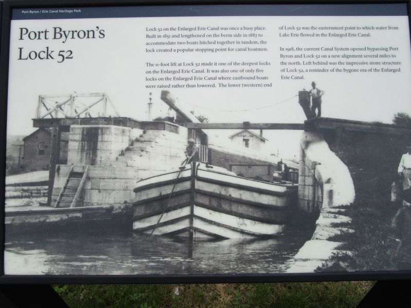
Port Byron's Lock 52
Photographed by Anton Schwarzmueller, May 19, 2017
1. Port Byron's Lock 52 Marker
The 11-foot lift at Lock 52 made it one of the deepest locks on the Enlarged Erie Canal. It was also one of only five locks on the Enlarged Canal where eastbound boats were raised rather than lowered. The lower (western) end of Lock 52 was the easternmost point to which water from Lake Erie flowed in the Enlarged Erie Canal.
In 1918, the current Canal System opened bypassing Port Byron and Lock 52 on a new alignment several miles to the north. Left behind was the impressive stone structure of Lock 52, a reminder of the bygone era of the Enlarged Erie Canal.
Erected 2016 by New York State Thruway Authority / Canal Corporation.
Topics and series. This historical marker is listed in these topic lists: Man-Made Features • Waterways & Vessels. In addition, it is included in the Erie Canal series list. A significant historical year for this entry is 1851.
Location. 43° 2.201′ N, 76° 38.189′ W. Marker is in
this page online

Regionally, this marker is in Upstate New York, specifically in Central New York, and in the Syracuse Metropolitan Area. It is also in the American Northeast and in the Mid-Atlantic. Globally, it is in North America, the Western Hemisphere, the Western World, and the Anglosphere. Historically, it finds itself in what was once the Haudenosaunee (Iroquois) Confederacy, New Netherland, and one of the original Thirteen Colonies.
Other nearby markers. At least 8 other markers are within walking distance of this marker: The Erie Canal in Port Byron (within shouting distance of this marker); Experience The Legend (about 300 feet away, measured in a direct line); Tanner's Dry Dock (about 400 feet away); The Erie House (about 600 feet away); Blacksmith Shop and Mule Shed (about 700 feet away); Glaciers, Drumlins, and High Level Lakes
Photographed by Anton Schwarzmueller, May 19, 2017
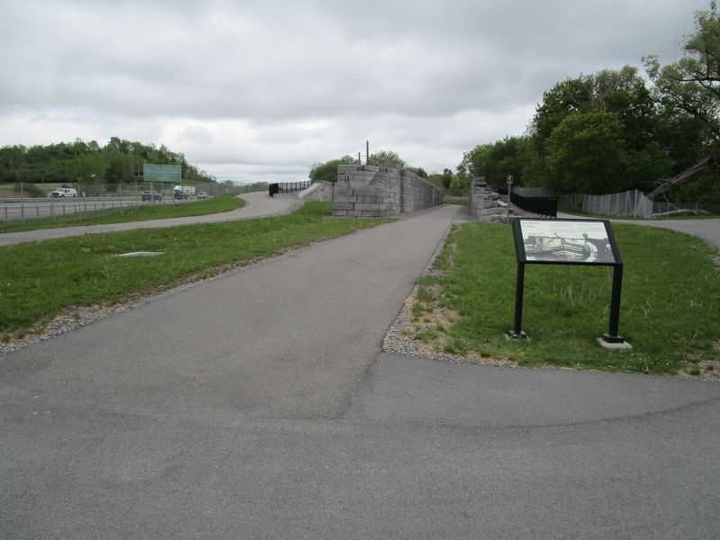
2. Port Byron's Lock 52 & Marker
Interstate 90 at left.
More about this marker. No restrooms or concessions at the park.
Photographed by Howard C. Ohlhous, October 20, 2017
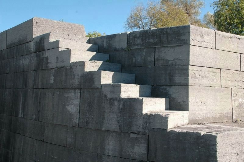
3. Port Byron's Lock 52 Detail
Detail of the stone steps of the "island" of Lock 52.
Photographed by Howard C. Ohlhous, October 20, 2017
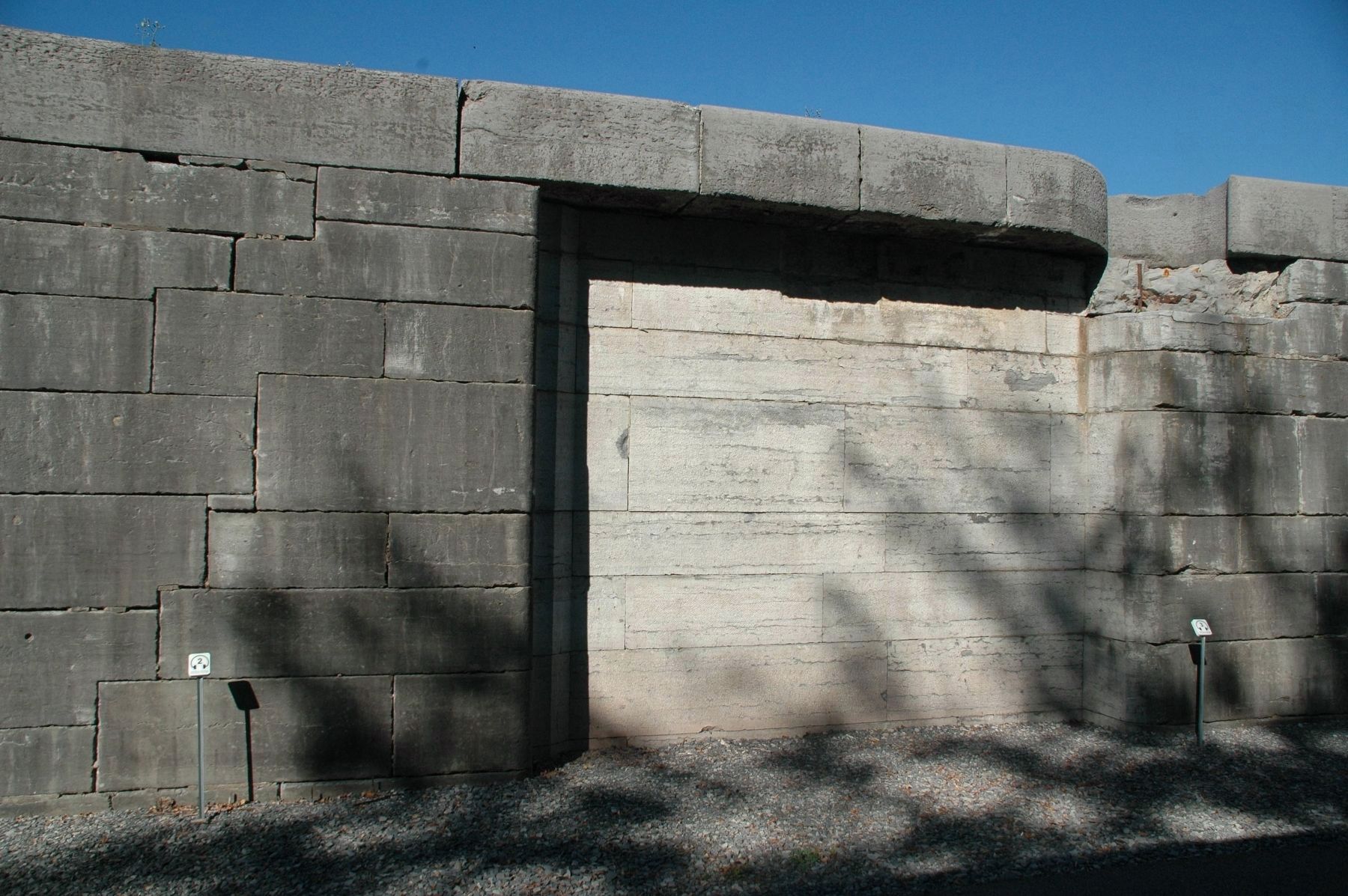
4. Port Byron's Lock 52 Detail
Detail of the recess in the lock wall for the lock gate. Notice the very top row of stone, extending over the recess in the lock chamber wall; In 1895 New York State launched another rebuilding of the Erie Canal, to increase the depth of the channel from seven to nine feet. The additional depth would allow for more heavily loaded boats. Though never completed statewide, here in Port Byron the work was finished.
Photographed by Howard C. Ohlhous, October 20, 2017
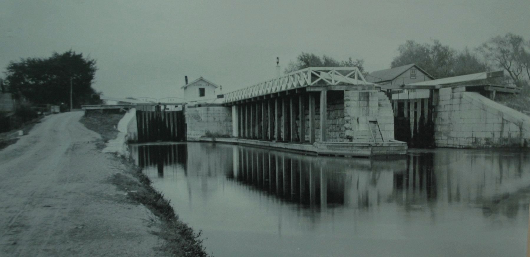
5. Port Byron's Lock 52
This view is looking east at the lower western end of the lock. You can stand at this same spot today, near the south side of the New York State Thruway. The Lock was constructed in the early 1860s with the lengthened section shown on the right being added in the 1880s. The towpath used by the mule teams and their drivers, the "hoggies", is on the left side of the image. This photo is on display at the Port Byron Old Erie Canal Heritage Park interpretive center.
Credits. This page was last revised on November 2, 2017. It was originally submitted on May 22, 2017, by Anton Schwarzmueller of Wilson, New York. This page has been viewed 589 times since then and 34 times this year. Photos: 1, 2. submitted on May 22, 2017, by Anton Schwarzmueller of Wilson, New York. 3, 4, 5. submitted on October 26, 2017, by Howard C. Ohlhous of Duanesburg, New York.
