Franklin in Williamson County, Tennessee — The American South (East South Central)
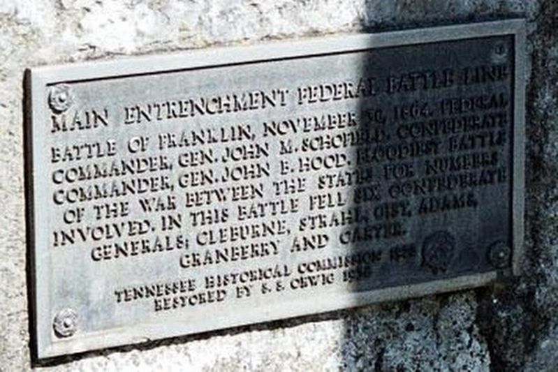
Main Entrenchment Federal Battle Line
Photographed by Larry Gertner, May 2007
1. Main Entrenchment Federal Battle Line Marker
Battle of Franklin, November 30, 1864. Federal commander, Gen. John M. Schofield. Confederate commander, Gen. John B. Hood. Bloodiest battle of the War Between the States for numbers involved. In this battle fell six Confederate generals: Cleburne, Strahl, Gist, Adams, Granberry and Carter.
Tennessee Historical Commission 1922
Restored by S.S. Orwig 1956
Erected 1922 by Tennessee Historical Commission.
Topics. This historical marker is listed in this topic list: War, US Civil. A significant historical date for this entry is November 30, 1864.
Location. 35° 54.966′ N, 86° 52.4′ W. Marker is in Franklin, Tennessee, in Williamson County. It is at the intersection of Columbia Avenue (Business U.S. 31) and Strahl Street, on the right when traveling north on Columbia Avenue. Touch for map. Marker is in this post office area: Franklin TN 37064, United States of America. Touch for directions.

Regionally, this marker is in Middle Tennessee and in Greater Nashville. It is also in the American South and specifically in the Upper South. Globally, it is in North America, the Western Hemisphere, the Western World, and the Anglosphere.
this page online
Other nearby markers. At least 8 other markers are within walking distance of this marker: The Carter Farm (a few steps from this marker); a different marker also named The Carter Farm (a few steps from this marker); a different marker also named The Carter Farm (a few steps from this marker); a different marker also named The Carter Farm (within shouting distance of this marker); a different marker also named The Carter Farm (within shouting distance of this marker); a different marker also named The Carter Farm (within shouting distance of this marker); a different marker also named The Carter Farm (within shouting distance of this marker); a different marker also named The Carter Farm (within shouting distance of this marker). Touch for a list and map of all markers in Franklin.
Photographed by Larry Gertner
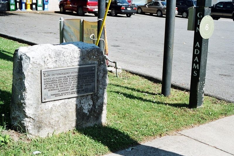
2. Main Entrenchment Federal Battle Line Marker
The post marks where General Adams died.
Photographed by Larry Gertner, June 16, 2019
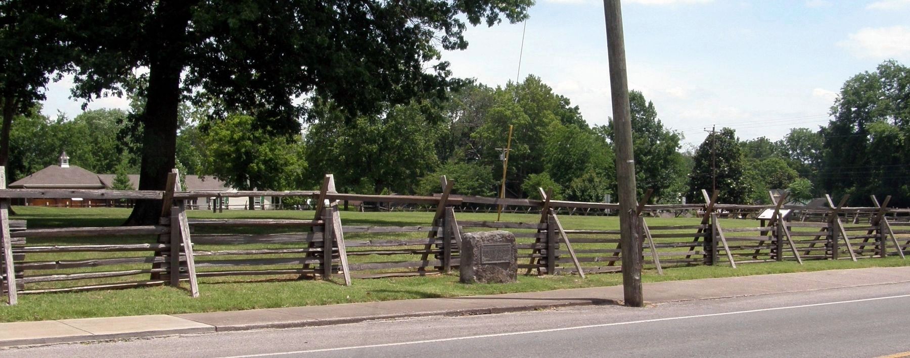
3. Main Entrenchment Federal Battle Line Marker
The battlefield park behind the marker was reclaimed from chain pizzerias, strip malls and private houses. The General Adams marker was removed, as he did not die at this location.
Credits. This page was last revised on July 28, 2019. It was originally submitted on May 22, 2017, by Larry Gertner of New York, New York. This page has been viewed 561 times since then and 42 times this year. Photos: 1, 2. submitted on May 22, 2017, by Larry Gertner of New York, New York. 3. submitted on July 28, 2019, by Larry Gertner of New York, New York. • Bernard Fisher was the editor who published this page.
