Franklin in Williamson County, Tennessee — The American South (East South Central)
Battle of Franklin, Eastern Flank
Nashville & Decatur Railroad
Photographed by Brandon Stahl
1. Battle of Franklin, Eastern Flank Marker
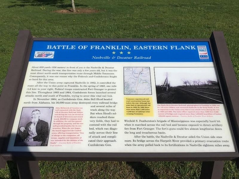
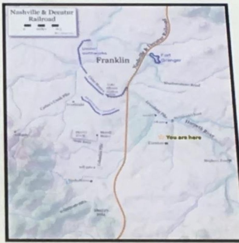
After the Union army captured Nashville in 1862, it controlled the route all the way to this point in Franklin. In the spring of 1863, one mile (1.6 km) to your right, Federal troops constructed Fort Granger to protect this line. Throughout 1863-1864, Confederate forces launched several attacks north and south of Franklin, trying to sever this vital rail link.
In November 1864, as Confederate Gen. John Bell Hood headed north from Alabama, his 30,000-man army destroyed every railroad bridge and several miles of track along the way. But when Hood’s soldiers reached these very fields, they had to contend with the rail bed, which ran diagonally across their line of attack and complicated their approach. Confederate Gen. Winfield S. Featherston’s brigade of Mississippians was especially hard hit when it marched
this page online
After the battle, the Nashville & Decatur aided the Union side once more. Its bridge across the Harpeth River provided a primary evacuation route when the army pulled back to its fortifications in Nashville eighteen miles away.
Erected by Tennessee Civil War Trails.
Topics and series. This historical marker is listed in these topic lists: Railroads & Streetcars • War, US Civil. In addition, it is included in the Tennessee Civil War Trails series list. A significant historical month for this entry is November 1864.
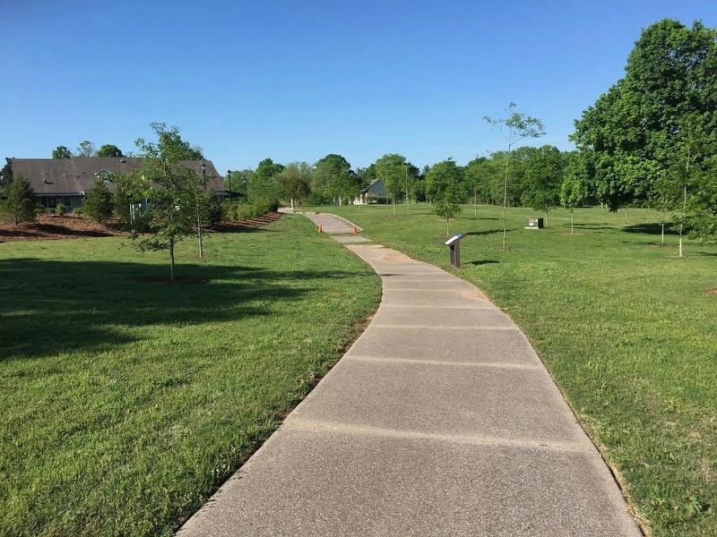
Location. 35° 54.381′ N, 86° 51.678′ W. Marker is in Franklin, Tennessee, in Williamson County. It can be reached from Eastern Flank Circle 0.4 miles south of Lewsiburg Pike (Business U.S. 431), on the right when traveling west. Located in Eastern Flank Battlefield Park. Touch for map. Marker is at or near this postal address: 1368 Eastern Flank Cir, Franklin TN 37064, United States of America. Touch for directions.

Regionally, this marker is in Middle Tennessee
Photographed by Brandon Stahl
2. Battle of Franklin, Eastern Flank Marker
Other nearby markers. At least 8 other markers are within walking distance of this marker: A different marker also named Battle of Franklin (within shouting distance of this marker); a different marker also named Battle of Franklin, Eastern Flank (within shouting distance of this marker); Battle of Franklin, Aftermath (about 300 feet away, measured in a direct line); Confederate Reunions at McGavock's Grove (about 400 feet away); A Dream Postponed (about 400 feet away); The Long Road to Recovery (about 400 feet away); a different marker also named Battle of Franklin, Eastern Flank (about 400 feet away); a different marker also named Battle of Franklin, Eastern Flank (about 500 feet away). Touch for a list and map of all markers in Franklin.
Battle of Franklin Trust Archives
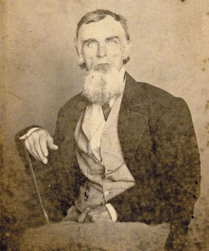
3. John McGavock
John McGavock of Carnton was well connected with the Nashville & Decatur Railroad. Before and during the war, he served on its board of directors and owned nearly $20,000 in company stock. In addition, the rail line passed through his property, and his sawmill provided lumber for its construction. When the war began, the board supported the Confederacy, offering transportation “free of charge to the companies, all troops, supplies, and munitions of war intended for the defense of the South.”
4. Nashville and Decatur Railroad
Tennessee experienced railroad construction boom just before the war. Although the state had no operational rail lines in 1850, by 1862 there were more than 1,200 miles (1,930 km) of railways crisscrossing Tennessee.
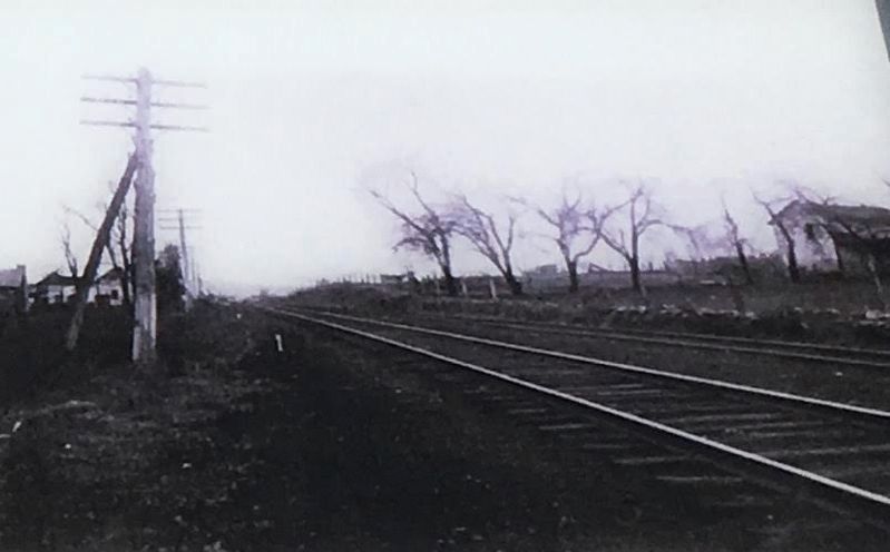
Battle of Franklin Trust Archives
5. Nashville & Decatur Railroad
The Nashville & Decatur Railroad, photographed in Franklin in 1909, ran for 120 miles (180 km) and connected Nashville to the Deep South. It was so important to the Union army that it was rebuilt twice during the war, in 1863 and 1865. The latter effort repaired more than 7,000 feet (2,100 meters) of bridges and required more than 1,000,000 board-feet of lumber (100,000 square meters).
Credits. This page was last revised on August 27, 2020. It was originally submitted on May 23, 2017, by Brandon Stahl of Fairfax, Virginia. This page has been viewed 853 times since then and 79 times this year. Photos: 1, 2, 3, 4, 5. submitted on May 23, 2017, by Brandon Stahl of Fairfax, Virginia. • Bernard Fisher was the editor who published this page.
