Fort Monroe in Hampton, Virginia — The American South (Mid-Atlantic)
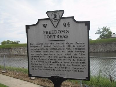
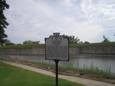
Freedomís Fortress
Erected 1993 by Department of Historic Resources. (Marker Number W-94.)
Topics and series. This historical marker is listed in these topic lists: Abolition & Underground RR • African Americans • Forts and Castles • Notable Places • War, US Civil. In addition, it is included in the Virginia Department of Historic Resources (DHR) series list. A significant historical year for this entry is 1861.
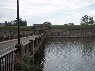
Location. 37° 0.245′ N, 76° 18.623′ W. Marker is in Hampton, Virginia. It is in Fort Monroe. Marker is on Main Gate, on the left when traveling east. Marker is in Fort Monroe. Touch for map. Marker is in this post office area: Fort Monroe VA 23651, United States of America. Touch for directions.
Other nearby markers. At least 8 other markers are within walking distance of this marker. Escape To Freedom (here, next to this marker); Rodman Gun (within shouting distance of this marker); Veterans of the Battle of the Bulge (within shouting distance of this marker); a different marker also named Rodman Gun (within shouting distance of this marker); Fort Monroe (about 300 feet away, measured in a direct line); a different marker also named Rodman Gun (about 300 feet away); The Old Cistern (about 500 feet away); a different marker also named Fort Monroe (about 600 feet away). Touch for a list and map of all markers in Hampton.
Also see . . .
1. Unofficial Fort Monroe website. (Submitted on August 15, 2008, by Bill Coughlin of Woodland Park, New Jersey.)
2. Fort Monroe National Monument, National Park Service. (Submitted on August 19, 2019.)
3. Fort Monroe (Stone Fort) National Register of Historic Places Registration Form. (Submitted on August 19, 2019.)
Credits. This page was last revised on February 1, 2023. It was originally submitted on August 15, 2008, by Bill Coughlin of Woodland Park, New Jersey. This page has been viewed 1,657 times since then and 24 times this year. Last updated on August 17, 2008, by Richard E. Miller of Oxon Hill, Maryland. Photos: 1, 2, 3, 4. submitted on August 15, 2008, by Bill Coughlin of Woodland Park, New Jersey. • J. J. Prats was the editor who published this page.


