Franklin in Williamson County, Tennessee — The American South (East South Central)
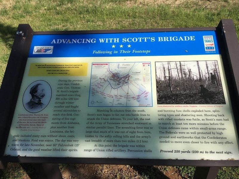
Advancing With Scott's Brigade
Following in Their Footsteps
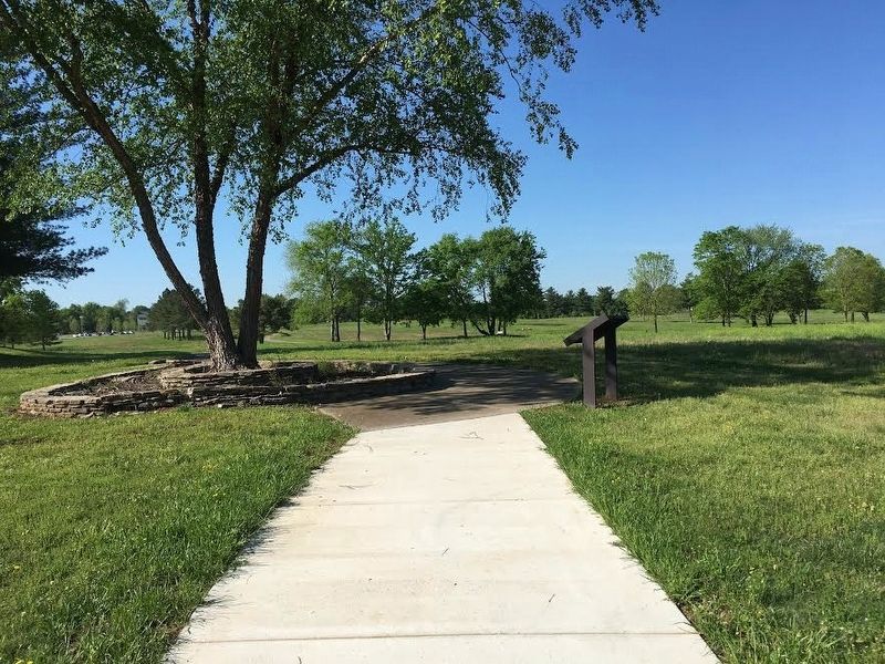
This walkway traces the route that the men of Confederate Gen. Thomas M. Scott’s brigade took in the Battle of Franklin. Read below to see what it was like then and to follow in their footsteps
Distance to Union Lines: 1,500 yards (1,370 m)
Local Time: 4:35 pm, November 30, 1864
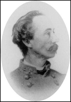
During the previous nine days, Confederate Gen. Thomas M. Scott’s brigade marched more than 120 miles (193 km) through winter weather and fought several skirmishes to reach this field. Consisting of five regiments from Alabama plus another from Louisiana, the brigade included many men without shoes, coats, and blankets. Food was scarce. The day was very warm for late November, near 60 degrees Fahrenheit (15 degrees Celsius), and the good weather lifted their spirits.
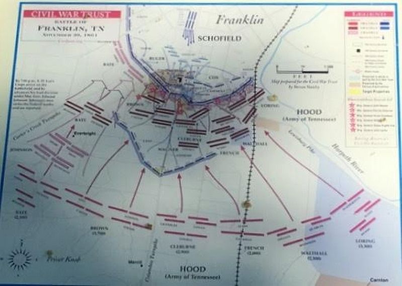
Marching in columns from the south, Scott’s men began to fan out into battle lines to attack the Union defenses. To your left, the rest of the Army of Tennessee stretched westward in similar parallel lines. The assaulting force was so large that much of it was out of sight from here, hidden by the softly rolling hills and the army’s vast breadth of more than two miles (3.2km).
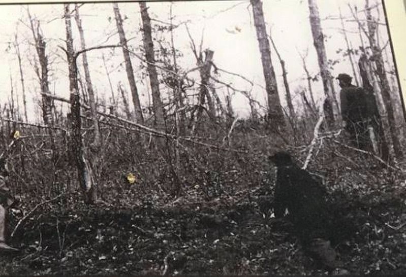
At this point the brigade was within range of Union rifled artillery. Percussion shells and bursting fuse shells exploded here, splintering trees and shattering men. Shooting back with rifled muskets was futile, as Scott’s men had to march at least ten more minutes before the Union defenses came within small-arms range. The Federals were so well protected by high ground and earthworks that the Confederates needed to move even closer to fire with any effect.
Erected by Tennessee Civil War Trails.
Topics and series. This historical marker is listed in this topic list: War, US Civil. In addition, it is included in the Tennessee Civil War Trails series list. A significant historical date for this entry is November 30, 1864.
Location. 35° 54.512′ N, 86° 51.457′ W. Marker is in Franklin, Tennessee, in Williamson County. Marker can be reached from Eastern Flank Circle, 0.4 miles south of Lewisburg Pike (Business U.S. 431), on the right when traveling west. Located in Eastern Flank Battlefield Park. Touch for map. Marker is at or near this postal address: 1368 Eastern Flank Cir, Franklin TN 37064, United States of America. Touch for directions.
Other nearby markers. At least 8 other markers are within walking distance of this marker. Battle of Franklin, Eastern Flank (a few steps from this marker); a different marker also named Advancing With Scott's Brigade (about 500 feet away, measured in a direct line); Eastern Flank Battlefield Park (about 500 feet away); a different marker also named The Battle of Franklin (about 500 feet away); Harpeth River Restoration and Fish Passage (about 600 feet away); a different marker also named Battle of Franklin, Eastern Flank (approx. 0.2 miles away); a different marker also named Battle of Franklin, Eastern Flank (approx. 0.2 miles away); a different marker also named Advancing With Scott's Brigade (approx. 0.2 miles away). Touch for a list and map of all markers in Franklin.
Credits. This page was last revised on August 27, 2020. It was originally submitted on May 24, 2017, by Brandon Stahl of Fairfax, Virginia. This page has been viewed 310 times since then and 18 times this year. Photos: 1, 2, 3, 4, 5. submitted on May 24, 2017, by Brandon Stahl of Fairfax, Virginia. • Bernard Fisher was the editor who published this page.
