Franklin in Williamson County, Tennessee — The American South (East South Central)
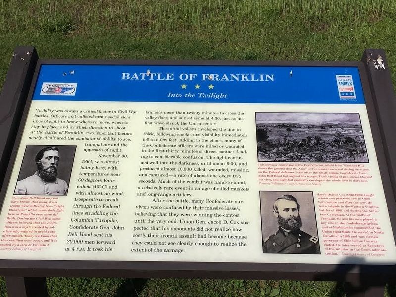
Battle of Franklin
Into the Twilight
Photographed by Brandon Stahl
1. Battle of Franklin Marker
November 30, 1864, was almost balmy here, with temperatures near 60 degrees Fahrenheit (10 degrees C) and with almost no wind. Desperate to break through the Federal lines straddling the Columbia Turnpike, Confederate Gen. John Bell Hood sent his 20,000 men forward at 4 pm. It took his brigades more than twenty minutes to cross the valley floor, and sunset came at 4:30, just as his first wave struck the Union center.
The initial volleys enveloped the line in thick, billowing smoke, and visibility immediately fell to a few feet. Adding to the chaos, many of the Confederate officers were killed or wounded in the first thirty minutes of direct contact, leading to considerable confusion. The fight continued well into the darkness, until about 9:00, and produced almost 10,000 killed, wounded,
this page online
After the battle, many Confederate survivors were confused by their massive losses, believing that they were winning the contest until the very end. Union Gen. Jacob D. Cox suspected that his opponents did not realize how costly their frontal assault had become because they could not see clearly enough to realize the extent of the carnage.
Erected by Tennessee Civil War Trails.
Topics and series. This historical marker is listed in this topic list: War, US Civil. In addition, it is included in the Tennessee Civil War Trails series list. A significant historical date for this entry is November 30, 1864.
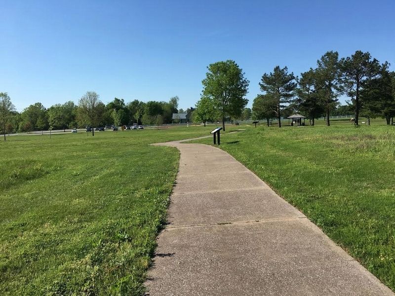
Location. 35° 54.342′ N, 86° 51.494′ W. Marker is in Franklin, Tennessee, in Williamson County. It can be reached from Eastern Flank Circle 0.4 miles south of Lewsiburg Pike (Business U.S. 431), on the right when traveling west. Located in Eastern Flank Battlefield Park. Touch for map. Marker is at or near this postal address: 1368 Eastern Flank Cir, Franklin TN
Photographed by Brandon Stahl
2. Battle of Franklin Marker

Regionally, this marker is in Middle Tennessee and in Greater Nashville. It is also in the American South and specifically in the Upper South. Globally, it is in North America, the Western Hemisphere, the Western World, and the Anglosphere. Historically, it finds itself in what was once the territory of the Mississippian Culture, one of the Confederate States of America, and the Antebellum South.
Other nearby markers. At least 8 other markers are within walking distance of this marker: A different marker also named Battle of Franklin (within shouting distance of this marker); Battle of Franklin, Eastern Flank (about 300 feet away, measured in a direct line); Becoming the Front Line 1862 (about 300 feet away); A Crucial War Zone 1863 (about 300 feet away); Standing at the Crossroads 1861 (about 300 feet away); Hood's Retreat (about 300 feet away); The Final Campaign 1864 (about 300 feet away); a different marker also named The Battle of Franklin (about 300 feet away). Touch for a list and map of all markers in Franklin.
Also see . . . Eastern Flank Battlefield Park.
Library of Congress
3. John Bell Hood
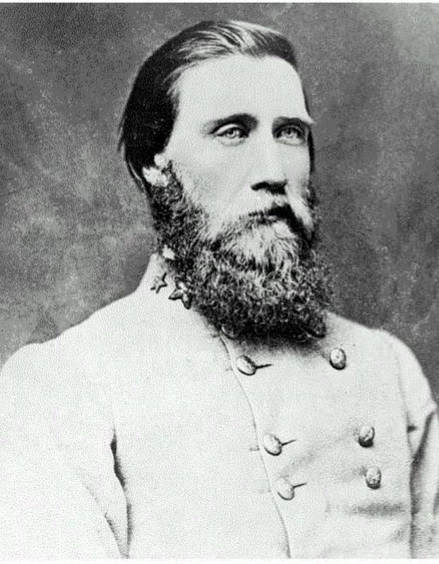
Gen. John Bell Hood may not have known that many of his troops were suffering from “night blindness,” which made their fight here at Franklin even more difficult. During the Civil War, some officers believed that the condition was a myth created by soldiers who wanted to avoid work after sunset. Today we know that the condition does occur, and it is caused by a lack of Vitamin A.
Williamson County Archives
4. Franklin Battlefield
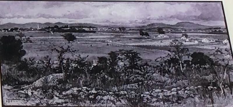
This postwar engraving of the Franklin battlefield from Winstead Hill shows the ground that the Army of Tennessee traversed during its attack on the Federal defenses. Soon after the battle began, Confederate Gen. John Bell Hood lost sight of his troops. Thick clouds of gun smoke blocked his view, and nightfall gradually enveloped the whole field in darkness.
Library of Congress
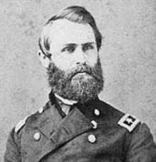
5. Jacob Cox
Jacob Dolson Cox (1828-1900) taught school and practiced law in Ohio both before and after the war. He led a brigade in the Western Virginia battles of 1861 and during the Antietam Campaign. At the battle of Franklin, he and his men played a key role in the Confederate defeat, and at Nashville he commanded the Union right flank. He served in North Carolina in 1865 and was elected governor of Ohio before the war ended. He later served as Secretary of the Interior in the Grant administration.
Photographed by Bradley Owen, October 23, 2022
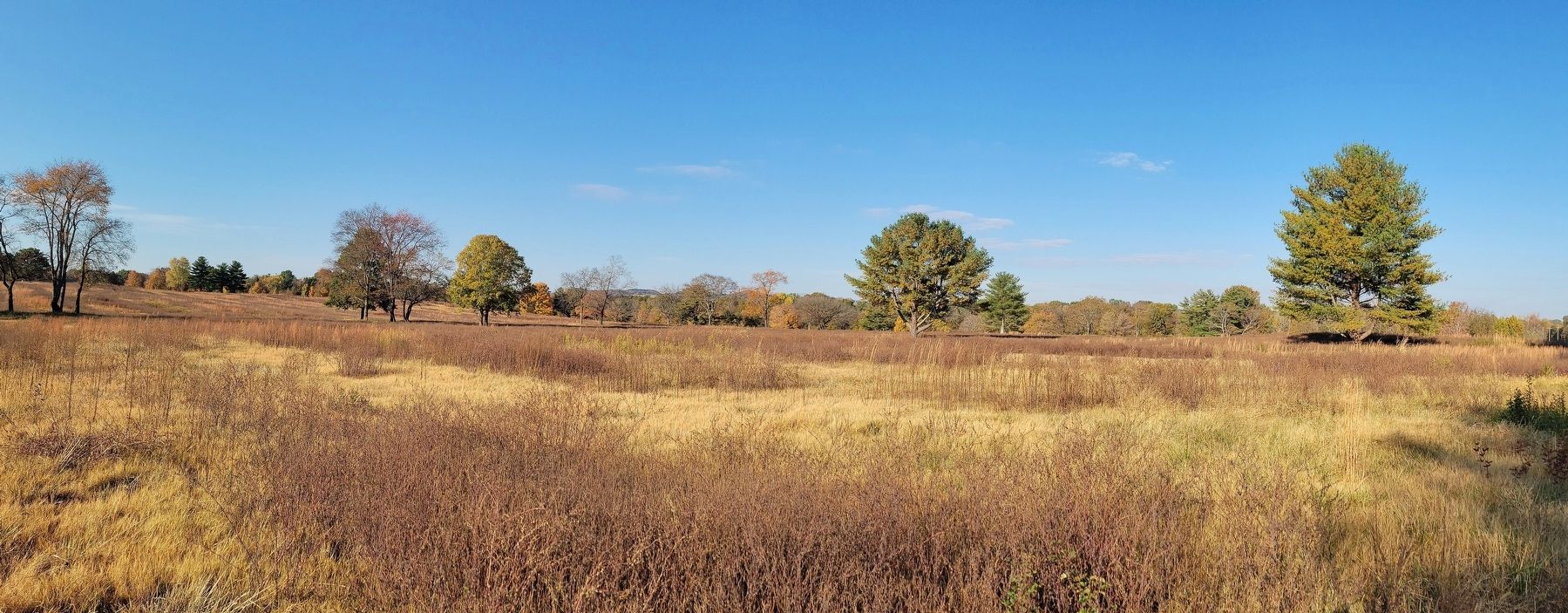
6. Panoramic View From Near The Marker Location
Looking northwest, towards the position of the Union line.
Credits. This page was last revised on November 10, 2022. It was originally submitted on May 25, 2017, by Brandon Stahl of Fairfax, Virginia. This page has been viewed 793 times since then and 96 times this year. Photos: 1, 2, 3, 4, 5. submitted on May 25, 2017, by Brandon Stahl of Fairfax, Virginia. 6. submitted on November 4, 2022, by Bradley Owen of Morgantown, West Virginia. • Bernard Fisher was the editor who published this page.
