Howe in Butte County, Idaho — The American West (Mountains)
John Day’s River
Photographed by Michael Herrick, May 11, 2017
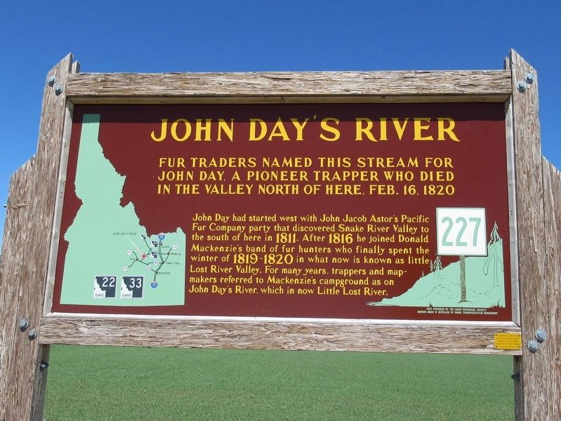
1. John Day’s River Marker
Fur traders named this stream for John Day, a pioneer trapper who died in the valley north of here, Feb. 16, 1820
John Day had started west with John Jacob Astor’s Pacific Fur Company that discovered Snake River Valley to the south of here in 1811. After 1816 he joined Donald Mackensie’s band of fur hunters who finally spent the winter of 1819-1820 in what is now known as little Lost River Valley. For many years, trappers and mapmakers referred to Mackensie’s campground as on John Day’s River, which is now Little Lost River.
Erected by Idaho Historical Society & Idaho Transportation Department. (Marker Number 227.)
Topics and series. This historical marker is listed in these topic lists: Animals • Industry & Commerce • Natural Features • Waterways & Vessels. In addition, it is included in the Idaho State Historical Society series list. A significant historical date for this entry is February 16, 1820.
Location. 43° 47.007′ N, 112° 59.617′ W. Marker is in Howe, Idaho, in Butte County. It is at the intersection of State Highway 33 and N 1480W (County Highway 1480), on the right when traveling west on State Highway 33. Touch for map. Marker is in this post office area: Howe ID 83244, United States of America. Touch for directions.

Regionally, this marker is in Central Idaho — Sawtooth Range and in Eastern Idaho and the Yellowstone Fringe. It is also in the American Mountain West. Globally, it is in
this page online
Also see . . . John Day (trapper) on Wikipedia. (Submitted on May 29, 2017, by Michael Herrick of Southbury, Connecticut.)
Photographed by Michael Herrick, May 11, 2017
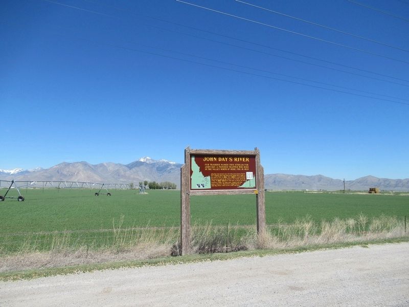
2. John Day’s River Marker
Credits. This page was last revised on July 2, 2025. It was originally submitted on May 29, 2017, by Michael Herrick of Southbury, Connecticut. This page has been viewed 2,113 times since then and 242 times this year. Photos: 1, 2. submitted on May 29, 2017, by Michael Herrick of Southbury, Connecticut.
