
Near Port Gibson in Claiborne County, Mississippi — The American South (East South Central)
Grant at Hankinson's Ferry
Photographed by Mark Hilton, May 26, 2017
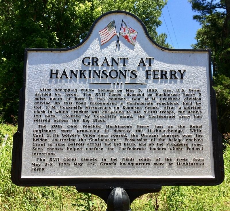
1. Grant at Hankinson's Ferry Marker
After occupying Willow Springs on May 5. 1863, Gen. U. S. Grant divided his force. The XVII Corps advanced on Hankinson s Ferry 5 miles north of here in two columns. Gen. M. M. Crocker's division driving up this road encountered a Confederate roadblock held by Col. F. M. Cockrell's Missourians on Kennison Creek. After a spirited clash in which Crocker was compelled to use 5,000 troops, the Rebels fell back. Covered by Cockrell's stand, the Confederate army had retired across the Big Black.
The 20th Ohio reached Hankinson's Ferry just as the Rebel engineers were preparing to destroy the flatboat-bridge. While Capt. S. De Golyer's Union guns roared, the Ohioans charged over the bridge, scattering the Confederates. Possession of the bridge enabled Grant to send patrols across the Big Black and up the Vicksburg road. Such thrusts helped confuse the Confederate leaders about Federal intentions.
The XVII Corps camped in these fields south of the river from May 3-7. From May 4-7, Grant's headquarters were at Hankinson's Ferry.
(Marker Number 4.)
Topics. This historical marker is listed in these topic lists: War, US Civil
this page online
Location. 32° 2.401′ N, 90° 53.493′ W. Marker is near Port Gibson, Mississippi, in Claiborne County. It is at the intersection of Old Port Gibson Road and Old U.S. 61, on the left when traveling north on Old Port Gibson Road. Touch for map. Marker is at or near this postal address: Old Port Gibson Road, Port Gibson MS 39150, United States of America. Touch for directions.

Regionally, this marker is in Southwest Mississippi, in Natchez Trace Corridor, and in Greater Jackson. It is also in the American South, specifically in the Deep South, and in the Great River Road Region. Globally, it is in North America, a Gulf of Mexico state, the Western Hemisphere, the Western World, and the Anglosphere. Historically, it finds itself in what was once New Spain, the territory of the Mississippian Culture, one of the Confederate States of America, and the Antebellum South.
Other nearby markers. At least 8 other markers are within 6 miles of this marker, measured as the crow flies: Fight for Hankinson's Ferry (here, next to this marker); Skirmish at Willow Springs
Photographed by Mark Hilton, May 26, 2017
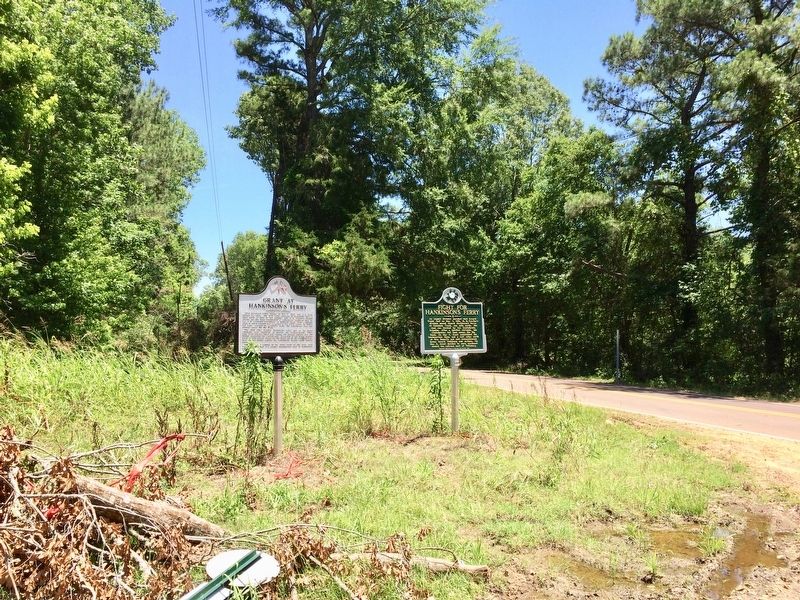
2. Grant at Hankinson's Ferry Marker on left.
Another marker is no longer nearby. Mangum Mound (was approx. 3.4 miles away but has been confirmed missing).
Related marker. Click here for another marker that is related to this marker.
Also see . . . Grant's Vicksburg Supply Line - The Civil War Trust. (Submitted on May 29, 2017, by Mark Hilton of Montgomery, Alabama.)
Additional keywords. Big Black River
Photographed by Mark Hilton, May 26, 2017
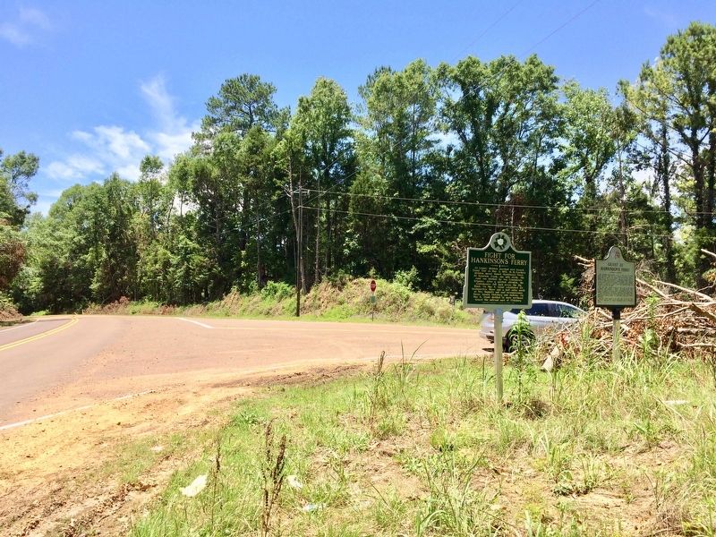
3. Grant at Hankinson's Ferry Marker looking south on Old Port Gibson Road.
Public Domain (Public Domain)
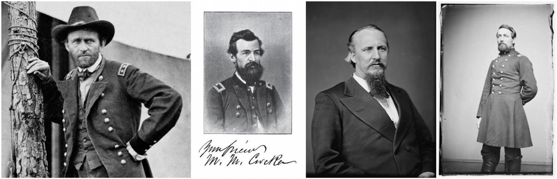
4. General U.S. Grant (left), Colonel Francis Cockrell, General M.M. Crocker & Captain Samuel DeGolyer
Credits. This page was last revised on March 3, 2026. It was originally submitted on May 29, 2017, by Mark Hilton of Montgomery, Alabama. This page has been viewed 1,243 times since then and 68 times this year. Photos: 1, 2, 3, 4. submitted on May 29, 2017, by Mark Hilton of Montgomery, Alabama.
