Lansing in Ingham County, Michigan — The American Midwest (Great Lakes)
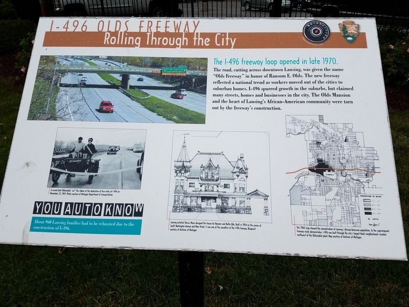
I-496 Olds Freeway
Rolling Through the City
| — | The I-496 freeway loop opened in late 1970. | — |
Photographed by Bill Rieske, June 9, 2017
1. I-496 Olds Freeway Marker
Erected by Motorcities National Heritage Area, National Park Service.
Topics and series. This historical marker is listed in these topic lists: African Americans • Industry & Commerce • Notable Events • Roads & Vehicles. In addition, it is included in the MotorCities National Heritage Area series list.
Location. 42° 43.589′ N, 84° 33.127′ W. Marker is in Lansing, Michigan, in Ingham County. It is at the intersection of South Washington Avenue and E. St. Joseph Street, on the right when traveling north on South Washington Avenue. Marker is located on the NE corner of Washington and St. Joe. Touch for map. Marker is in this post office area: Lansing
this page online

Regionally, this marker is in Mid-Michigan. It is also in the American Midwest. Globally, it is in North America, the Western Hemisphere, the Western World, and the Anglosphere. Historically, it finds itself in what was once the Northwest Territory.
Other nearby markers. At least 8 other markers are within walking distance of this marker: Olds Freeway (about 400 feet away, measured in a direct line); History of REO Town (about 400 feet away); Michigan Manufacturer's Association (about 600 feet away); Malcolm X (about 700 feet away); Michigan Sheriffs' Association (about 700 feet away); History of the Automobile in Lansing (about 800 feet away); Scott Sunken Garden (about 800 feet away); Ransom Eli Olds (about 800 feet away). Touch for a list and map of all markers in Lansing.
Also see . . . I-496 from Wikipedia. (Submitted on June 14, 2017, by Bill Rieske of Lansing, Michigan.)
Photographed by J.T. Lambrou, March 28, 2022
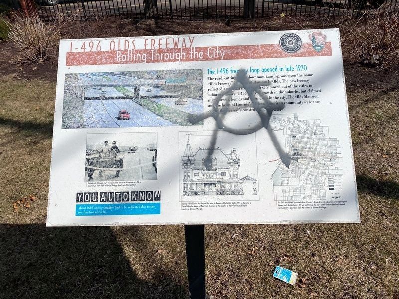
2. I-496 Olds Freeway Marker
The marker has been vandalized.
Photographed by Bill Rieske, June 9, 2017
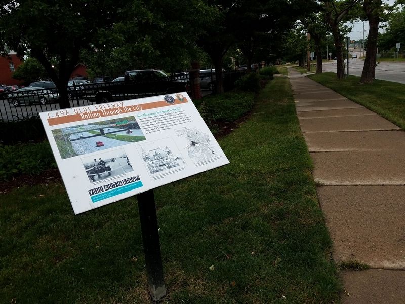
3. I-496 Olds Freeway Marker along E. St. Joe
Credits. This page was last revised on January 21, 2023. It was originally submitted on June 9, 2017, by Bill Rieske of Lansing, Michigan. This page has been viewed 599 times since then and 38 times this year. Photos: 1. submitted on June 9, 2017, by Bill Rieske of Lansing, Michigan. 2. submitted on January 21, 2023, by J.T. Lambrou of New Boston, Michigan. 3. submitted on June 9, 2017, by Bill Rieske of Lansing, Michigan. • Bill Pfingsten was the editor who published this page.
