
Grand Gulf in Claiborne County, Mississippi — The American South (East South Central)
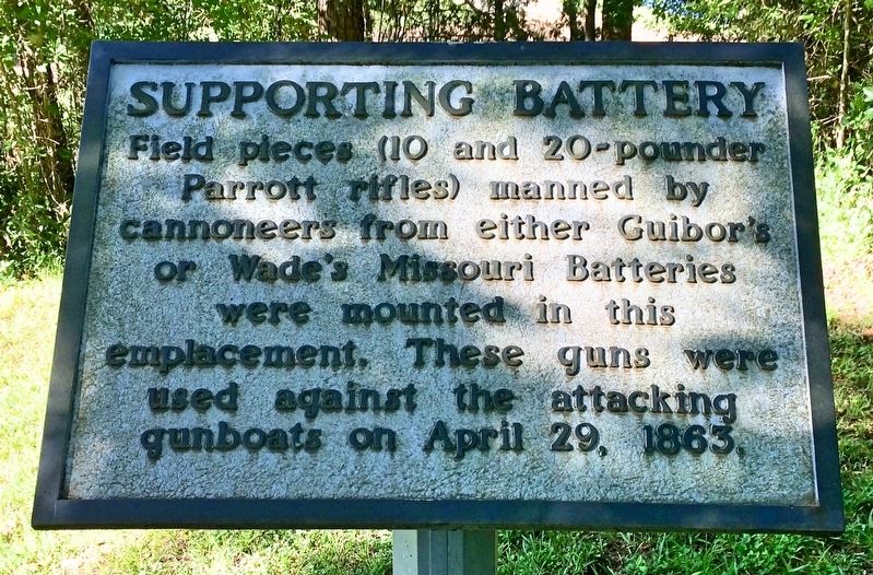
Supporting Battery
| — | Grand Gulf Historic Tour | — |
Photographed by Mark Hilton, May 26, 2017
1. Supporting Battery Marker
Parrott rifles) manned by
cannoneers from either Guibor's
or Wade's Missouri Batteries
were mounted in this
emplacement. These guns were
used against the attacking
gunboats on April 29, 1863.
Erected by the Grand Gulf Military Monument Commission.
Topics. This historical marker is listed in these topic lists: War, US Civil • Waterways & Vessels. A significant historical date for this entry is April 29, 1863.
Location. 32° 1.755′ N, 91° 3.211′ W. Marker is in Grand Gulf, Mississippi, in Claiborne County. It can be reached from Grand Gulf Road south of River Road. Located at the Grand Gulf Military Park (Fee charged), near the Laundry/Showers building. Touch for map. Marker is at or near this postal address: 12006 Grand Gulf Road, Port Gibson MS 39150, United States of America. Touch for directions.

Regionally, this marker is in Southwest Mississippi, in Natchez Trace Corridor, and in Greater Jackson. It is also in the American South, specifically in the Deep South, and in the Great River Road Region. Globally, it is in North America, a Gulf of Mexico state, the Western Hemisphere,
this page online
Other nearby markers. At least 8 other markers are within walking distance of this marker: War Comes to Grand Gulf (about 300 feet away, measured in a direct line); The Buildup for War (about 300 feet away); Grand Gulf Military Park (about 300 feet away); Bombardment of Confederate Fortifications by Federal Gunboats (about 400 feet away); Paddle Wheel of the Confederate Transport Charm (about 400 feet away); Scotia (about 600 feet away); Confederate Memorial Chapel (about 600 feet away); Rodney Sacred Heart Roman Catholic Church (about 600 feet away). Touch for a list and map of all markers in Grand Gulf.
Also see . . .
1. Wikipedia article on the Battle of Grand Gulf. (Submitted on June 12, 2017, by Mark Hilton of Montgomery, Alabama.)
2. Wikipedia article on Captain Henry Guibor. (Submitted on June 12, 2017, by Mark Hilton of Montgomery, Alabama.)
Photographed by Mark Hilton, May 26, 2017
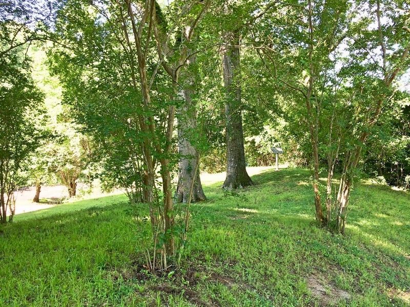
2. Marker can be seen to right of 2 large trees.
Mississippi River, and where gunboats fired from, is behind the marker and tree line in far background.
Photographed by Mark Hilton, May 26, 2017
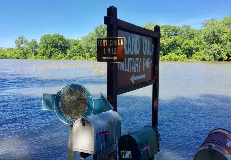
3. Entrance sign to Grand Gulf Military Park.
The Mississippi River, and where gunboats fired from, is behind the marker and tree line about half a mile in far background. Recent rains have overflowed the river causing this flooding and closing the Grand Gulf Road past this park.
Credits. This page was last revised on September 29, 2020. It was originally submitted on June 12, 2017, by Mark Hilton of Montgomery, Alabama. This page has been viewed 407 times since then and 20 times this year. Photos: 1, 2, 3. submitted on June 12, 2017, by Mark Hilton of Montgomery, Alabama.
