Trade in Johnson County, Tennessee — The American South (East South Central)
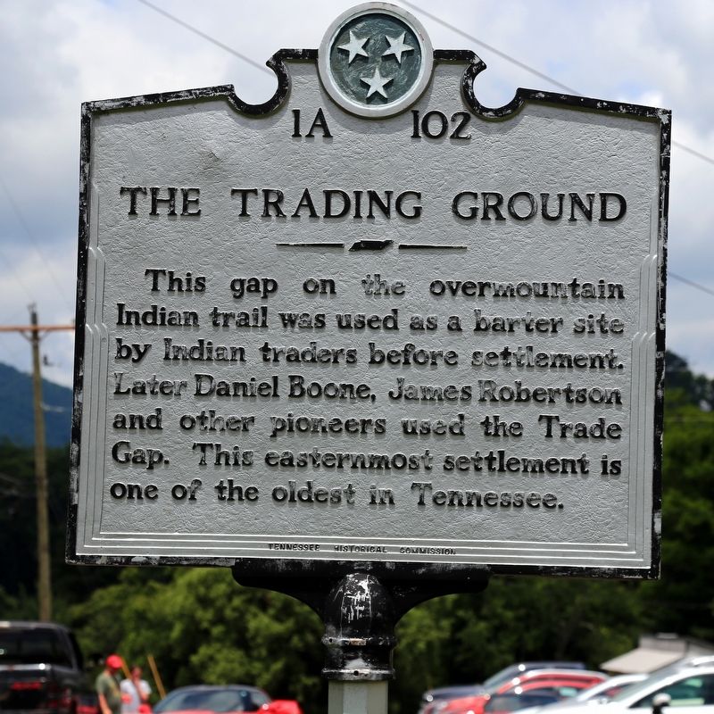
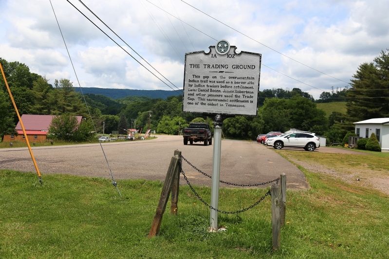
The Trading Ground
Erected by Tennessee Historical Commission. (Marker Number 1A-102.)
Topics and series. This historical marker is listed in these topic lists: Industry & Commerce • Native Americans • Roads & Vehicles • Settlements & Settlers. In addition, it is included in the Tennessee Historical Commission series list. A significant historical year for this entry is 1673.
Location. 36° 20.903′ N, 81° 44.627′ W. Marker is in Trade, Tennessee, in Johnson County. Marker is at the intersection of U.S. 421 and Tennessee Route 67, on the left when traveling south on U.S. 421. Touch for map. Marker is in this post office area: Trade TN 37691, United States of America. Touch for directions.
Other nearby markers. At least 8 other markers are within 9 miles of this marker, measured as the crow flies. Camp Mast (approx. 6.3 miles away in North Carolina); Cove Creek High School (approx. 6.3 miles away in North Carolina); Military Veterans of Western Watauga County (approx. 6.3 miles away in North Carolina); Maymead Stock Farm (approx. 6.8 miles away); John Smith Miller House (approx. 7.2 miles away in North Carolina); Elkland Depot (approx. 8.6 miles away in North Carolina); Blackburns' Chapel/Todd United Methodist Church (approx. 8.6 miles away in North Carolina); Ford Garage (approx. 8.7 miles away in North Carolina).
Related markers. Click here for a list of markers that are related to this marker.
Also see . . . Wikipedia Entry. “The oldest unincorporated community in the state, Trade originated in the 18th century as ‘The Trade Gap,’ a trading post established for Native Americans, pioneers, and fur traders to buy and sell their wares. It was located on an old buffalo trail between Snake and Rich Mountains, the easiest route through the mountains to the West. The first English-speakers visited what is now Trade as early as 1673, when the Needham and Arthur expedition passed through the area.
“Tom Dula (made famous by the folk song ‘Tom Dooley’) hid out in Trade as he was on the run, suspected of having murdered Laura Foster in Wilkes County, North Carolina. It was in Trade that the posse finally caught up to Dula and arrested him. Dula was working on Grayson farm. He stated, ‘if it hadn’t been for Grayson I’d have been in Tennessee,’ when he was captured in Trade.” (Submitted on June 12, 2017.)
Credits. This page was last revised on June 12, 2017. It was originally submitted on June 12, 2017, by J. J. Prats of Powell, Ohio. This page has been viewed 583 times since then and 87 times this year. Photos: 1, 2. submitted on June 12, 2017, by J. J. Prats of Powell, Ohio.

