Darien in McIntosh County, Georgia — The American South (South Atlantic)
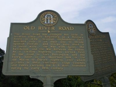
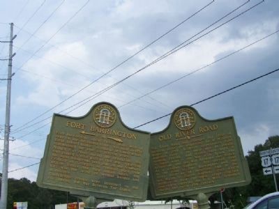
Old River Road
Erected 1957 by Georgia Historical Commission. (Marker Number 095-17.)
Topics and series. This historical marker is listed in these topic lists: Colonial Era • Military • Roads & Vehicles • War, US Revolutionary. In addition, it is included in the Georgia Historical Society series list. A significant historical year for this entry is 1739.
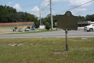
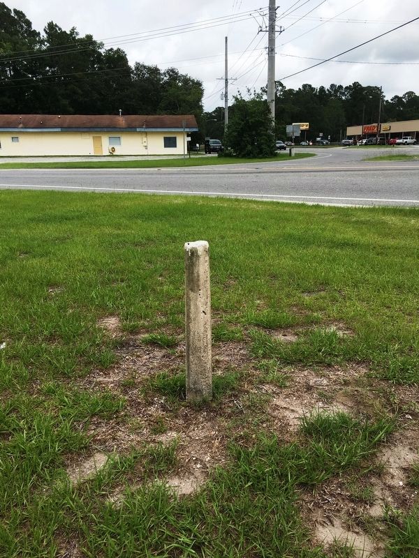
Location. Marker has been reported missing. It was located near 31° 23.171′ N, 81° 26.021′ W. Marker was in Darien, Georgia, in McIntosh County. Marker was at the intersection of State Highway 251 and Ocean Highway (U.S. 17), on the right when traveling east on State Highway 251. Touch for map. Marker was in this post office area: Darien GA 31305, United States of America. Touch for directions.
Other nearby markers. At least 8 other markers are within 2 miles of this location, measured as the crow flies. Darien Presbyterian Church (approx. one mile away); Darien's Railroad and Depot (approx. one mile away); Columbus Square (approx. 1.1 miles away); St. Andrew's Cemetery (approx. 1.1 miles away); New Inverness (approx. 1.1 miles away); The Oglethorpe Oak (approx. 1.1 miles away); Ashantilly (approx. 1.1 miles away); McIntosh County (approx. 1.1 miles away). Touch for a list and map of all markers in Darien.
Additional commentary.
1. Marker gone missing
in area August 17, 2011, no signs of the marker
— Submitted August 18, 2011, by Mike Stroud of Bluffton, South Carolina.
Credits. This page was last revised on June 21, 2017. It was originally submitted on September 11, 2008, by Mike Stroud of Bluffton, South Carolina. This page has been viewed 1,494 times since then and 25 times this year. Last updated on June 19, 2017, by Brandon D Cross of Flagler Beach, Florida. Photos: 1, 2. submitted on September 11, 2008, by Mike Stroud of Bluffton, South Carolina. 3. submitted on August 18, 2011, by Mike Stroud of Bluffton, South Carolina. 4. submitted on June 19, 2017, by Brandon D Cross of Flagler Beach, Florida. • Kevin W. was the editor who published this page.


