Near Spencer in Patrick County, Virginia — The American South (Mid-Atlantic)
Frontier Fort
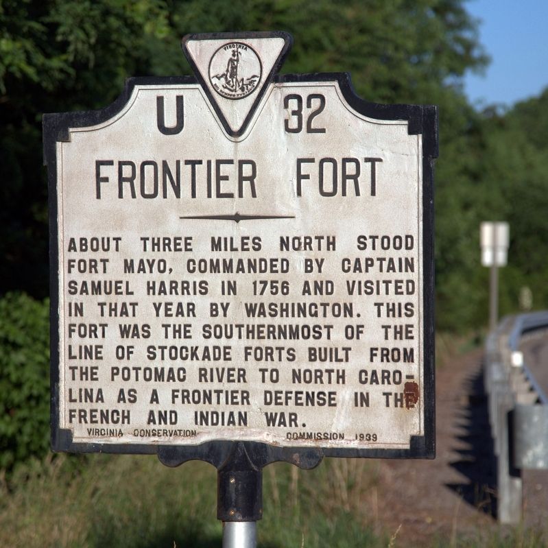
Photographed by J. J. Prats, June 9, 2017
1. Frontier Fort Marker
About three miles north stood Fort Mayo, commanded by Captain Samuel Harris in 1756 and visited in that year by Washington. This fort was the southernmost of the line of stockade forts built from the Potomac River to North Carolina as a frontier defense in the French and Indian War.
Erected 1939 by Virginia Conservation Commission. (Marker Number U-32.)
Topics and series. This historical marker is listed in these topic lists: Colonial Era • Forts and Castles • War, French and Indian. In addition, it is included in the Virginia Department of Historic Resources (DHR) series list. A significant historical year for this entry is 1756.
Location. 36° 36.206′ N, 80° 3.257′ W. Marker is near Spencer, Virginia, in Patrick County. It is at the intersection of Jeb Stuart Highway (U.S. 58) and Penn Store Road (County Route 629), on the right when traveling east on Jeb Stuart Highway. It is just west of the county line with Henry County. Touch for map. Marker is in this post office area: Spencer VA 24165, United States of America. Touch for directions.

Regionally, this marker is in Southern Virginia and in the Blue
this page online
Other nearby markers. At least 8 other markers are within 6 miles of this marker, measured as the crow flies: Henry County / Patrick County (approx. 0.3 miles away); Reynolds Homestead (approx. 5.7 miles away); Col. Abram Penn (approx. 5.8 miles away); a different marker also named The Reynolds Homestead (approx. 5.9 miles away); Rock Spring Plantation (approx. 5.9 miles away); Plantation Kitchen (approx. 5.9 miles away); Creamery & Ice House (approx. 5.9 miles away); Tobacco Barn (approx. 5.9 miles away).
Another marker is no longer nearby. Colonel Abram Penn (was approx. 5.8 miles away but has been replaced with another marker now near it).
Also see . . . Old Fort Mayo.
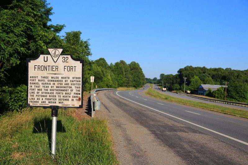
Photographed by J. J. Prats, June 9, 2017
2. Frontier Fort Marker
Credits. This page was last revised on July 6, 2026. It was originally submitted on June 21, 2017, by J. J. Prats of Powell, Ohio. This page has been viewed 2,148 times since then and 232 times this year. Photos: 1, 2. submitted on June 21, 2017, by J. J. Prats of Powell, Ohio.
