Norfolk Auto Row Historic District , Virginia — The American South (Mid-Atlantic)
Pauline Adams
(1874-1957)
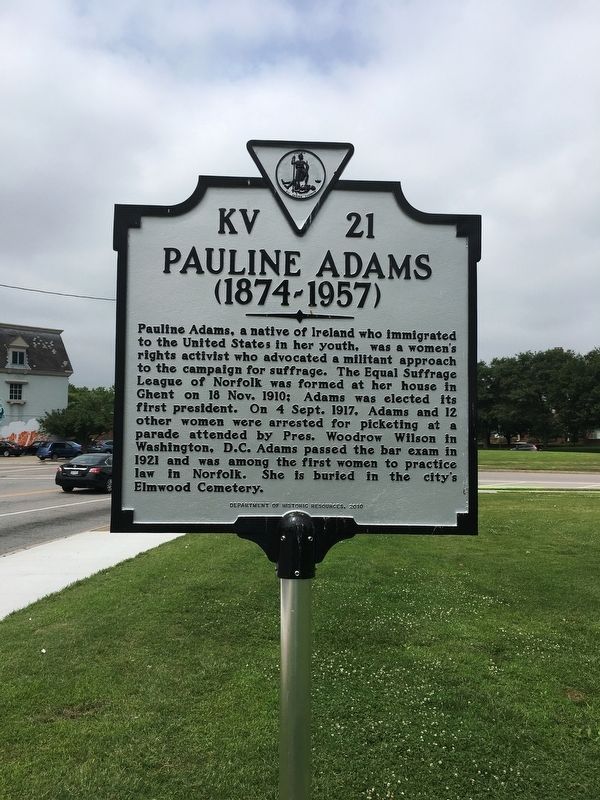
Photographed by Brandon D Cross, June 16, 2017
1. Pauline Adams Marker
Erected 2010 by Department of Historic Resources. (Marker Number KV-21.)
Topics and series. This historical marker is listed in these topic lists: Civil Rights • Government & Politics • Women. In addition, it is included in the Former U.S. Presidents: #28 Woodrow Wilson, and the Virginia Department of Historic Resources (DHR) series lists. A significant historical date for this entry is November 18, 1910.
Location. Marker has been reported missing. It was located near 36° 51.444′ N, 76° 17.43′ W. Marker was in Norfolk, Virginia. It was in the Norfolk Auto
this page online

Regionally, this marker was in Virginia’s Hampton Roads, specifically in Coastal Virginia, and in the Hampton Roads Metropolitan Area. It was also in the American South, specifically in the Upper South, in the Tidewater, and on the Eastern Seaboard. Globally, it was in the North Atlantic Region, North America, the Western Hemisphere, the Western World, and the Anglosphere. Historically, it found itself in what was once the territory of the Mississippian Culture, one of the original Thirteen Colonies, one of the Confederate States of America, and the Antebellum South.
Other nearby markers. At least 8 other markers are within walking distance of this location: Fort Tar (approx. 0.2 miles away); West Point Cemetery (approx. 0.4 miles away); James W. Hunter House, 1894 (approx. 0.4 miles away); a different marker also
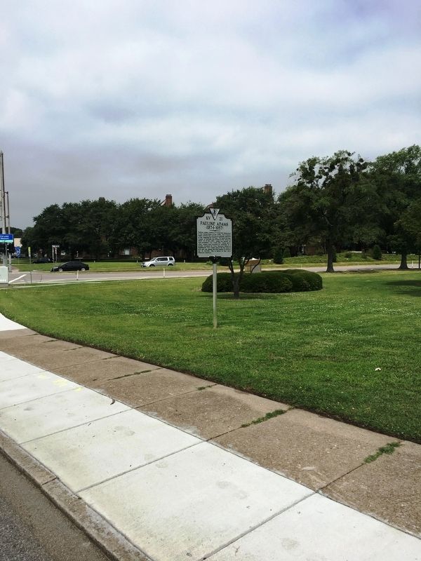
Photographed by Brandon D Cross, June 16, 2017
2. Pauline Adams Marker
Credits. This page was last revised on February 1, 2023. It was originally submitted on June 30, 2017, by Brandon D Cross of Flagler Beach, Florida. This page has been viewed 941 times since then and 42 times this year. Photos: 1, 2. submitted on June 30, 2017, by Brandon D Cross of Flagler Beach, Florida. • Bernard Fisher was the editor who published this page.
