Franklin in Williamson County, Tennessee — The American South (East South Central)
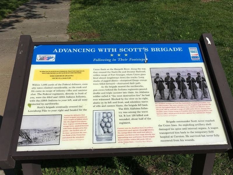
Advancing With Scott's Brigade
Following in Their Footsteps
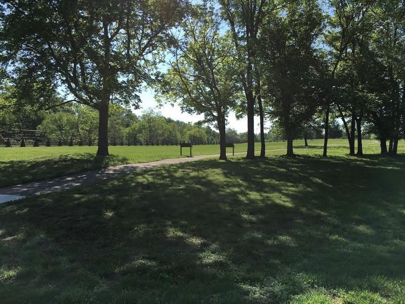
This walkway traces the route that the men of Confederate Gen. Thomas Scott’s brigade took in the Battle of Franklin. Read below to see what it was like then and to follow in their footsteps
Distance to Union Main Line: 1,000 yards (314m)
Local Time: 4:25 pm, November 30, 1864
Within 1,000 yards of the Federal defenses, casualty rates climbed considerably, as the rank and file came in range of infantry rifles and canister shot. The Federal regiments, directly in front of you, were the 63rd and 120th Indiana Infantry, with the 128th Indiana to your left, and all were protected by earthworks.
Scott’s brigade eventually crossed the Lewisburg Pike to your right and headed for the Union flank on the Harpeth River. Along the way, they crossed the Nashville and Decatur Railraod, within range of Fort Granger, where Union guns fired almost lengthways down the tracks. Long stacks of jagged abates—sharpened Osage orange trees felled—obstructed their path.
As the brigade neared the earthworks, gun crews behind the Indiana regiments poured double and triple canister into them. An Alabama soldier called it “the most destructive fire” he had ever witnessed. Blocked by the river on its right, abates on its left and front, and relentless waves of rifle and cannon blasts, the brigade fell back. The 35th Alabama Infantry was among the worst hit. It lost 150 killed and wounded, about half of the regiment.
Brigade commander Scott never reached the Union lines. An exploding artillery shell damaged his spine and internal organs. A wagon transported him back to the temporary field hospital at Carnton. He survived but never fully recovered from his wounds.
Erected by Tennessee Civil War Trails.
Topics and series. This historical marker is listed in this topic list: War, US Civil. In addition, it is included in the Tennessee Civil War Trails series list. A significant historical date for this entry is November 30, 1864.
Location. 35° 54.614′ N, 86° 51.611′ W. Marker is in Franklin, Tennessee, in Williamson County. Marker can be reached from Eastern Flank Circle south of Lewsburg Pike (Business U.S. 431), on the right when traveling north. Touch for map. Marker is at or near this postal address: 1368 Eastern Flank Cir, Franklin TN 37064, United States of America. Touch for directions.
Other nearby markers. At least 8 other markers are within walking distance of this marker. Battle of Franklin, Eastern Flank (here, next to this marker); a different marker also named Battle of Franklin, Eastern Flank (about 400 feet away, measured in a direct line); Eastern Flank Battlefield Park (about 500 feet away); a different marker also named Advancing With Scott's Brigade (about 500 feet away); a different marker also named Battle of Franklin, Eastern Flank (approx. 0.2 miles away); a different marker also named Advancing With Scott's Brigade (approx. 0.2 miles away); a different marker also named Battle of Franklin, Eastern Flank (approx. 0.2 miles away); a different marker also named Battle of Franklin (approx. ¼ mile away). Touch for a list and map of all markers in Franklin.
Library of Congress
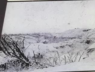
3. Spiked Abatis
Among the obstacles that Scott’s brigade encountered were tangles of spiked abatis like the jagged trees shown here. A grove of felled Osage orange trees, stacked forward with limbs sharpened to fine points – the barbed wire of its time – protected the eastern flank of the Union line and slowed the attackers.
Photographed By Sam Whitson
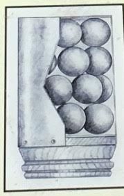
4. Canister
Canister was the deadliest form of artillery ammunition used against charging infantry. Tin casings filled with small lead spheres, canister was fired at close range directly into approaching men and horses. Scott’s brigade faced canister within 200 yards (183 m) of the union lines.
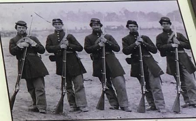
Library of Congress
5. Soldiers with the Springfield Model 1861 Rifled Musket
The deadliest weapon on Civil War battlefields, including Franklin, was the rifled musket. The most common were the English-made Enfield rifle and the Springfield Model 1861 shown here, which was effective up to 400 yards (366 m) and had a range 1,000 yards (914 m). Among other shoulder arms, Union troops at Franklin also had repeating Henry and Spencer rifles, which proved decisive against the Confederate charge.
Credits. This page was last revised on August 27, 2020. It was originally submitted on May 31, 2017, by Brandon Stahl of Fairfax, Virginia. This page has been viewed 355 times since then and 23 times this year. Last updated on July 5, 2017, by Byron Hooks of Sandy Springs, Georgia. Photos: 1, 2, 3, 4, 5. submitted on May 31, 2017, by Brandon Stahl of Fairfax, Virginia. • Bernard Fisher was the editor who published this page.
