Indian Church, Orange Walk, Belize — Central America
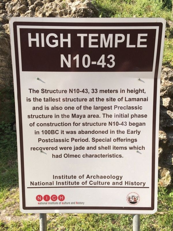
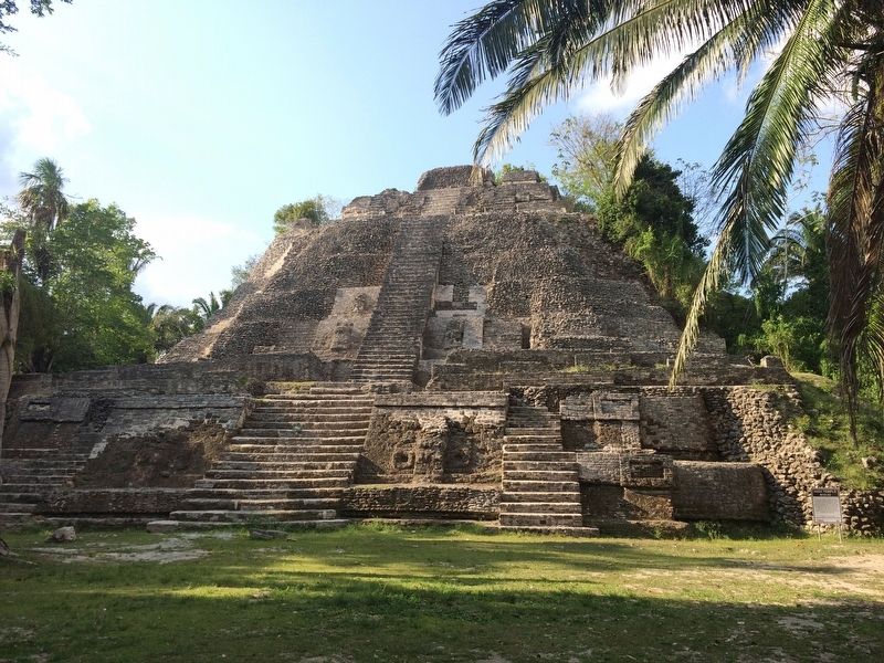
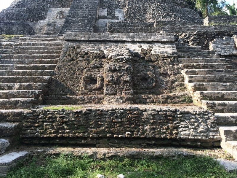
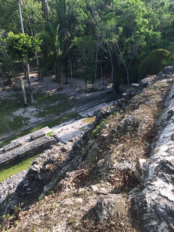
The High Temple at Lamanai
N10-43
Erected by National Institute of Culture and History (NICH).
Topics. This historical marker is listed in these topic lists: Anthropology & Archaeology • Architecture • Man-Made Features • Native Americans.
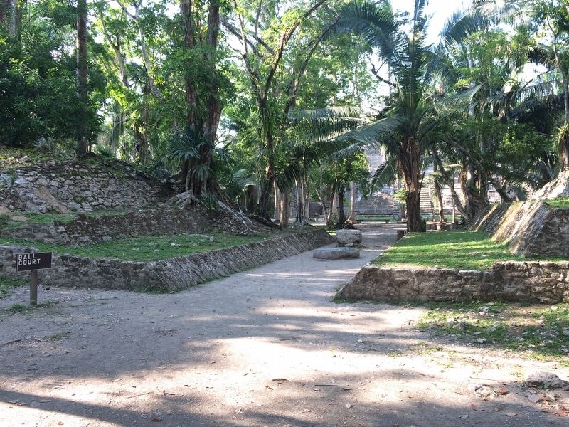
Location. 17° 46.056′ N, 88° 39.157′ W. Marker is in Indian Church, Orange Walk. The marker and temple are directly in front of the High Temple, some 275 meters northwest of the visitors center at the Lamanai Archaeological Site. Touch for map. Marker is in this post office area: Indian Church, Orange Walk 7LC1V KSXX8, Belize. Touch for directions.
Other nearby markers. At least 2 other markers are within walking distance of this marker. Stela 9 at Lamanai (about 120 meters away, measured in a direct line); Royal Complex at Lamanai (about 180 meters away).
Also see . . . Lamanai Archaeological Site . "Lamanai (from Lama'anayin, "submerged crocodile" in Yucatec Maya) is a Mesoamerican archaeological site, and was once a major city of the Maya civilization, located in the north of Belize, in Orange Walk District. The site's name is pre-Columbian, recorded by early Spanish missionaries, and documented over a millennium earlier in Maya inscriptions as Lam'an'ain. Lamanai is renowned for its exceptionally long occupation spanning three millennia, beginning in the Early Preclassic Maya period and continuing through the Spanish and British Colonial periods, into the 20th century. Unlike most Classic-period sites in the southern Maya lowlands, Lamanai was not abandoned at the end of the 10th century AD." (Submitted on July 5, 2017, by J. Makali Bruton of Accra, Ghana.)
Credits. This page was last revised on July 5, 2017. It was originally submitted on July 5, 2017, by J. Makali Bruton of Accra, Ghana. This page has been viewed 244 times since then and 14 times this year. Photos: 1, 2, 3, 4, 5. submitted on July 5, 2017, by J. Makali Bruton of Accra, Ghana.
