Near Jayton in Kent County, Texas — The American South (West South Central)
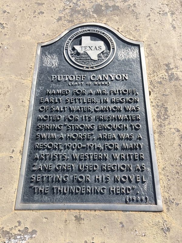
Putoff Canyon
(East of here)
Photographed by Mark Hilton, July 7, 2017
1. Putoff Canyon Marker
Erected 1969 by the State Historical Survey Committee. (Marker Number 4139.)
Topics. This historical marker is listed in these topic lists: Natural Features • Waterways & Vessels.
Location. 33° 17.257′ N, 100° 35.795′ W. Marker is near Jayton, Texas, in Kent County. It is on Texas Route 70 north of County Road 161, on the right when traveling north. Located at a small picnic area pull-off. Touch for map. Marker is in this post office area: Jayton TX 79528, United States of America. Touch for directions.

Regionally, this marker is in Big Country. It is also on the American Great Plains and specifically on the Southern Plains. Globally, it is in North America, a Gulf of Mexico state, the Western Hemisphere, the Western World, and the Anglosphere. Historically, it finds itself in what
this page online
Other nearby markers. At least 4 other markers are within 13 miles of this marker, measured as the crow flies: Quanah Parker Trail (approx. 2.4 miles away); First National Bank Building (approx. 3 miles away); Double Mountain Salt Works (approx. 3.1 miles away); Kent County (approx. 3.1 miles away).
Another marker is no longer nearby. Old Kent County Jail (was approx. 12.3 miles away but has been replaced with another marker now near it).
Additional keywords. geology, water topics
Photographed by Mark Hilton, July 7, 2017
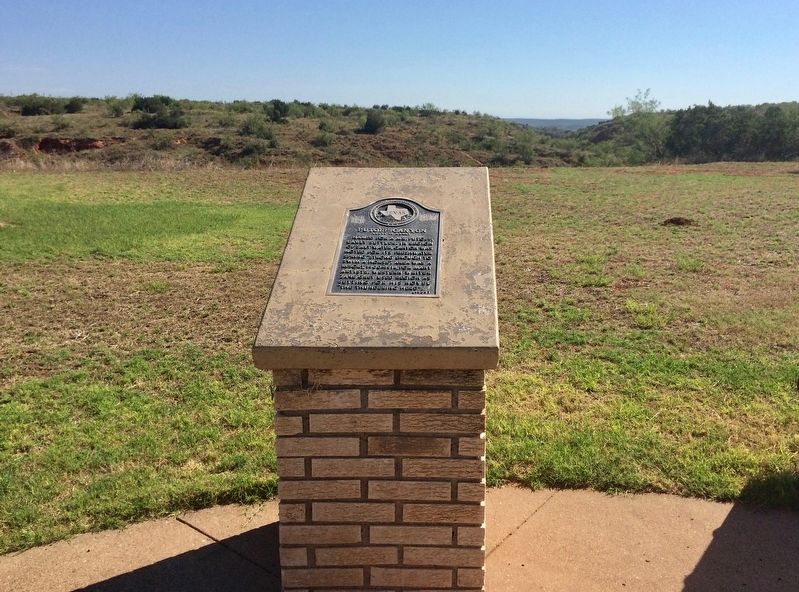
2. Canyon can be seen in far distance.
Photographed by Mark Hilton, July 7, 2017
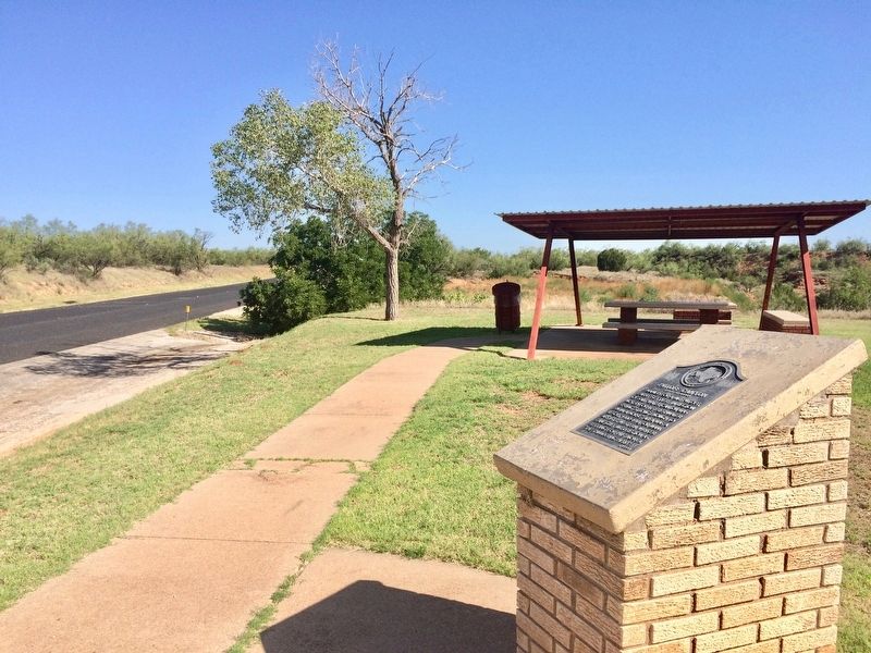
3. View from marker looking north on Texas Highway 70.
Credits. This page was last revised on July 9, 2017. It was originally submitted on July 9, 2017, by Mark Hilton of Montgomery, Alabama. This page has been viewed 936 times since then and 55 times this year. Photos: 1, 2, 3. submitted on July 9, 2017, by Mark Hilton of Montgomery, Alabama.
