Crab Orchard in Lincoln County, Kentucky — The American South (East South Central)
Grand Gateway to Kentucky
Crab Orchard Kentucky
Photographed by Tom Bosse, April 12, 2017
1. Grand Gateway to Kentucky Marker
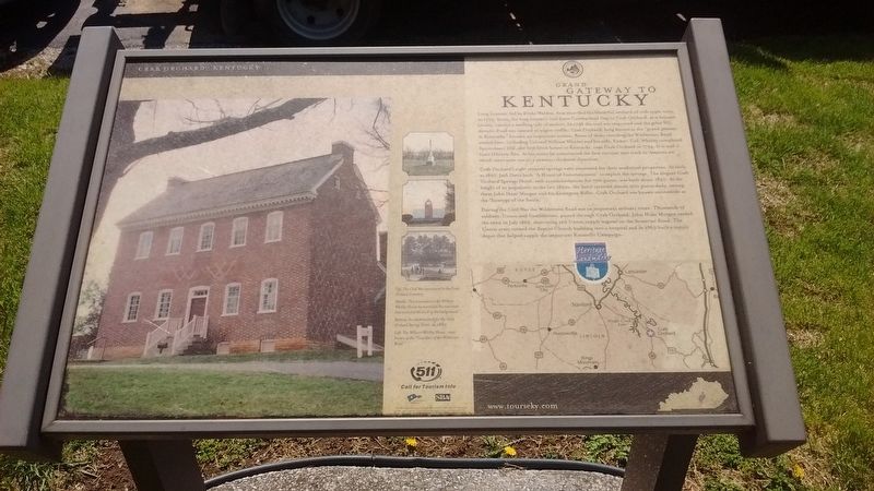
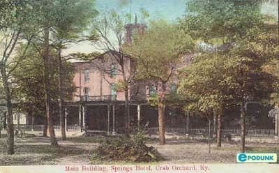
Crab orchard's eight mineral springs were renowned for the medicinal properties. As early as 1827, Jack David built "A House of Entertainment" to exploit the springs. The elegant Crab Orchard Springs Hotel, with accommodations for 700 guests, was built about 1850. At the height of its popularity in the late 1850s, the hotel received almost 500 guests daily, among them John Hunt Morgan and his Lexington Rifles. Crab Orchard was known nationwide
this page online
During the Civil War the Wilderness Road was an important military route. Thousands of soldiers, Union and Confederate, passed through Crab Orchard. John Hunt Morgan raided the town in 1862, destroying 120 Union supply wagons on the Somerset Road. The Union army turned the Baptist Church building into a hospital and in 1863 built a supply depot that helped supply the important Knoxville Campaign.
(captions)
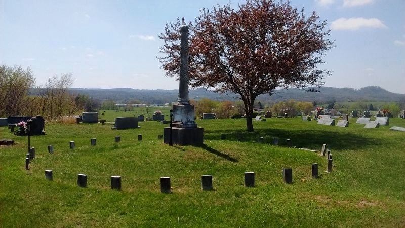
Top: The Civil War monument in the Crab Orchard Cemetery.
Middle: The monument at the William Whitley House memorializes the race track that encircled the knoll in the background.
Bottom: An advertisement for the Crab orchard Springs Hotel, ca..1880.
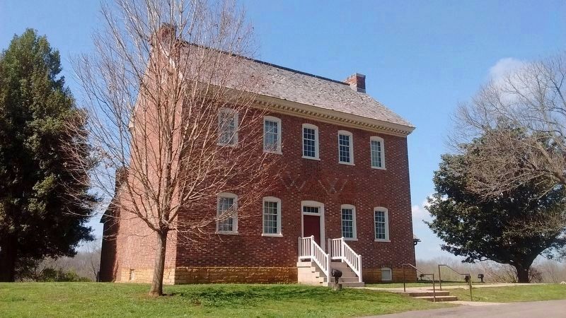
Left: The William Whitley House, once known as the "Guardian of the Wilderness Road".
Topics. This historical marker is listed in these topic lists: Industry & Commerce • Roads & Vehicles • Settlements & Settlers • War, US Civil. A significant historical year for this entry is 1763.
Location. 37° 27.745′ N, 84° 30.369′ W. Marker is in Crab Orchard, Kentucky, in Lincoln County. It is on Main Street (Kentucky Route 39) south
Photographed by Tom Bosse, April 12, 2017
2. Grand Gateway to Kentucky Marker

Regionally, this marker is in The Knobs. It is also in the American South, specifically in the Upper South, in Appalachia, and specifically in Southern Appalachia. Globally, it is in North America, the Western Hemisphere, the Western World, and the Anglosphere. Historically, it finds itself in what was once the territory of the Mississippian Culture and also the Antebellum South.
Other nearby markers. At least 8 other markers are within 3 miles of this marker, measured as the crow flies: On Confederate Routes (approx. ¼ mile away); Crab Orchard Cemetery Confederate Memorial (approx. ¼ mile away); Crab Orchard Springs (approx. half a mile away); A View from Sportsman’s Hill (approx. 2.2 miles away); Sportsman's Hill (approx. 2.2 miles away); Where Racing Turned Around (approx. 2.2 miles away); The Legacy of Sportsman’s Hill at Crab Orchard (approx. 2.2 miles away); A Little Bit to Eat at the Race
Photographed by Tom Bosse, April 12, 2017
3. William Whitley House
"Guardian of the Wilderness Road"
Photographed by Tom Bosse
4. Crab Orchard Springs Hotel
Photographed by Tom Bosse, April 12, 2017
5. Civil War Monument in Crab Orchard Cemetery
Here, off duty till the last reveille, rest the southern soldiers, few in number who were slain in this and in the adjoining counties, during the War of Secession. They fell among strangers, unknown, unfriended, yet not unhonered; For strangers hands have gathered their ashes here and placed his shaft above them, that constancy, valor, sacrifice of self, though displayed in fruitless enterprise may not be unremembered.
Photographed by Tom Bosse
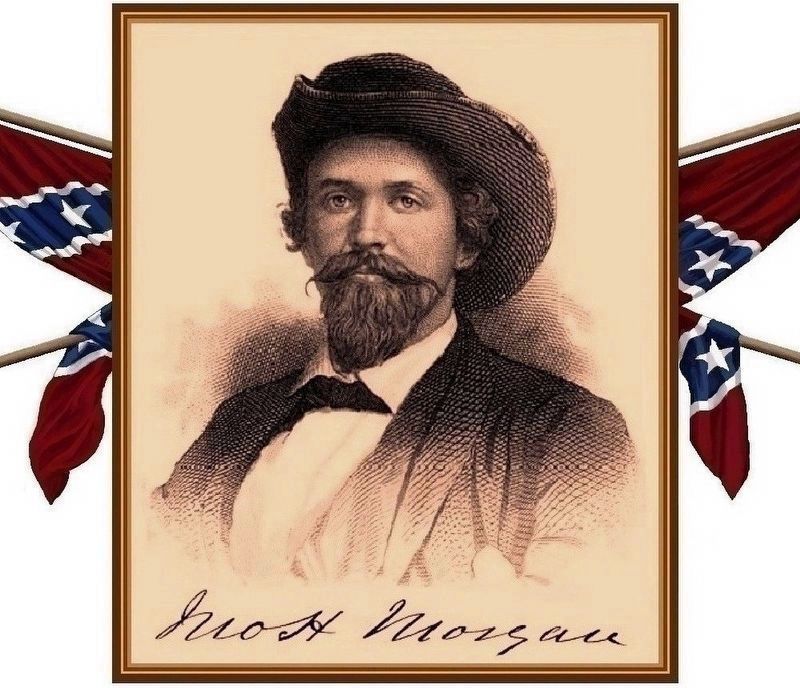
6. General John Hunt Morgan
Credits. This page was last revised on November 9, 2024. It was originally submitted on July 9, 2017, by Tom Bosse of Jefferson City, Tennessee. This page has been viewed 1,298 times since then and 94 times this year. Photos: 1, 2, 3, 4, 5, 6. submitted on July 9, 2017, by Tom Bosse of Jefferson City, Tennessee. • Bernard Fisher was the editor who published this page.
