Former Walter Reed Army Medical Center in Northwest Washington in Washington, District of Columbia — The American Northeast (Mid-Atlantic)
Battle of Fort Stevens
Former Walter Reed Army Medical Center
— Walking Tour —
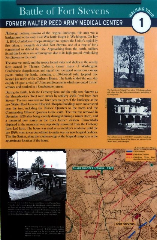
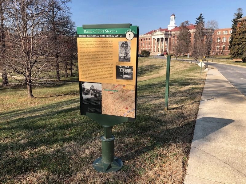
Although nothing remains of the original landscape, this area was a battleground of the only Civil War battle fought in Washington. On July 11, 1864, Confederate troops attempted to capture the Union's capitol by first taking a meagerly defended Fort Stevens, one of a ring of forts constructed to defend the city. Approaching from the north, soldiers found this location was advantageous due to its high ground overlooking Fort Stevens to the south.
The area was rural, and the troops found water and shelter at the nearby farm owned by Thomas Carberry, former mayor of Washington. Confederate sharpshooters and signal men occupied numerous vantage points during the battle, including a 150-foot-tall tulip (poplar) tree located just north of the Carberry House. The battle ended the next day on July 12 upon arrival of Union reinforcements which prevented further advance and resulted in a Confederate retreat.
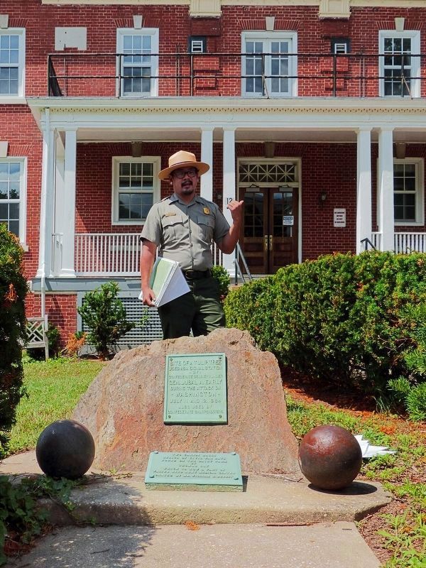
During the battle, both the Carberry farm and the tulip tree (known as the Sharpshooter's Tree) were struck by artillery shells fired from Fort Stevens. The tree survived and later became part of the landscape at the new Walter Reed General Hospital. Hospital buildings were constructed near the tree, including the Nurses' Quarters to the north and the Commanding Officers' Quarters to the south. The tree was removed in December 1920 after being severely damaged during a winter storm, and a memorial now stands in the tree's former location. Cannonballs displayed in the memorial were reportedly recovered from the Carberry (later Lay) farm. The house was used as a caretaker's residence until the late 1908 when it was demolished to make way for new hospital facilities. The Fire Station along the southern edge of the hospital campus, is in the approximate location of the house. (Marker Number 1.)
Topics. This historical marker is listed in these topic lists: Agriculture • Forts and Castles • Science & Medicine • War, US Civil. A significant historical date for this entry is July 11, 1864.
Location. 38° 58.427′ N, 77° 1.707′ W. Marker is in Northwest Washington in Washington, District of Columbia. It is in Former Walter Reed Army Medical Center. Marker is at the intersection of Butternut Street Northwest and 12th Street Northwest, on the left when traveling west on Butternut Street Northwest. The marker is on the campus of the former Walter Reed Army Medical center. Touch for map. Marker is at or near this postal address: 1092 Butternut Street Northwest, Washington DC 20307, United States of America. Touch for directions.
Other nearby markers. At least 8 other markers are within walking distance of this marker. Site of a Tulip Tree (within shouting distance of this marker); Borden's Dream (within shouting distance of this marker); WRAMC - Modern Era (about
![Battle of Fort Stevens Marker [Reverse]. Click for full size. Battle of Fort Stevens Marker [Reverse] image. Click for full size.](Photos5/505/Photo505678.jpg?1220201945300PM)
Photographed By Devry Becker Jones (CC0), December 20, 2019
2. Battle of Fort Stevens Marker [Reverse]

Photographed By Devry Becker Jones (CC0), December 24, 2019
5. Signage on the perimeter of the former Walter Reed Army Medical Center
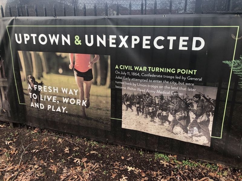
A Civil War Turning Point
On July 11, 1864, Confederate troops led by General Jubal Early attempted to enter the city, but were turned back by Union troops on the land that later became Walter Reed Army Medical Center.
On July 11, 1864, Confederate troops led by General Jubal Early attempted to enter the city, but were turned back by Union troops on the land that later became Walter Reed Army Medical Center.
Credits. This page was last revised on February 23, 2023. It was originally submitted on July 10, 2017, by Allen C. Browne of Silver Spring, Maryland. This page has been viewed 1,468 times since then and 14 times this year. Photos: 1. submitted on July 10, 2017, by Allen C. Browne of Silver Spring, Maryland. 2, 3. submitted on December 20, 2019, by Devry Becker Jones of Washington, District of Columbia. 4. submitted on July 12, 2017, by Allen C. Browne of Silver Spring, Maryland. 5. submitted on December 24, 2019, by Devry Becker Jones of Washington, District of Columbia. • Bernard Fisher was the editor who published this page.


