Forty Fort in Luzerne County, Pennsylvania — The American Northeast (Mid-Atlantic)
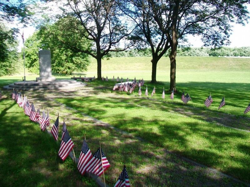
Forty Fort Cemetery Lost Graves Memorial
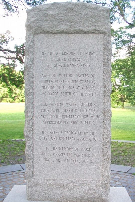
Inscription.
June 23, 1972
the Susquehanna River
swollen by flood waters of
unprecedented height broke
through the dike at a point
120 yards south of this site.
The swirling water gouged a
four acre chasm out of the
heart of the cemetery displacing
approximately 2500 burials.
This park is dedicated by the
Forty Fort Cemetery Association
to the memory of those
whose gravesites vanished in
that singular catastrophe
Erected by Forty Fort Cemetery Association.
Topics. This historical marker and memorial is listed in these topic lists: Cemeteries & Burial Sites • Disasters • Waterways & Vessels. A significant historical date for this entry is June 23, 1972.
Location. 41° 17.127′ N, 75° 52.283′ W. Marker is in Forty Fort, Pennsylvania, in Luzerne County. Memorial is in Forty Fort Cemetery. Touch for map. Marker is at or near this postal address: 20 River Street, Kingston PA 18704, United States of America. Touch for directions.
Other nearby markers. At least 8 other markers are within walking distance of this marker. Wyoming Seminary Presidents' Lost Graves Memorial (within shouting distance of this marker); James Bird (about 300 feet away, measured in a direct line); Forty Fort Meeting House (about 400 feet away); War Memorial (about 400 feet away); Forty Fort (about 500 feet away); What on Earth is a Levee? (approx. 0.4 miles away); Trailing Along (approx. 0.4 miles away); Welcome to the First Residents' Path (approx. 0.4 miles away). Touch for a list and map of all markers in Forty Fort.
Also see . . .
1. Forty Fort Cemetery Lost Graves Memorial. (Submitted on July 10, 2017, by William Fischer, Jr. of Scranton, Pennsylvania.)
2. Flood of 1972. (Submitted on July 10, 2017, by William Fischer, Jr. of Scranton, Pennsylvania.)
3. Cities Under Water, Under Siege: Hurricane Agnes. (Submitted on July 10, 2017, by William Fischer, Jr. of Scranton, Pennsylvania.)
4. Susquehanna River, PA Hurricane Agnes Flood of 1972. (Submitted on July 10, 2017, by William Fischer, Jr. of Scranton, Pennsylvania.)
5. Hurricane Agnes documentary on WBRE-TV (1992) Full on YouTube. (Submitted on July 10, 2017, by William Fischer, Jr. of Scranton, Pennsylvania.)
Credits. This page was last revised on July 10, 2017. It was originally submitted on July 10, 2017, by William Fischer, Jr. of Scranton, Pennsylvania. This page has been viewed 956 times since then and 43 times this year. Photos: 1, 2. submitted on July 10, 2017, by William Fischer, Jr. of Scranton, Pennsylvania.

