Near Albany in Shackelford County, Texas — The American South (West South Central)
The Mackenzie Trail
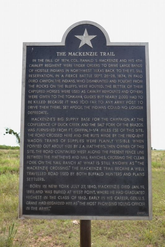
In the fall of 1874, Col. Ranald S. Mackenzie and his 4th Cavalry Regiment were under orders to drive large bands of hostile Indians in northwest Texas back to the Ft. Sill Reservation. In a fierce battle Sept. 26-28, 1874, in Palo Duro Canyon, the Indians, who dismounted and fought from the rocks on the bluffs, were routed. The better of their captured horses were used as cavalry remounts and others were given to the Tonkawa guides but nearly 2,000 had to be killed because it was too far to an army post to drive them there. Set afoot, the Indians could no longer depredate.
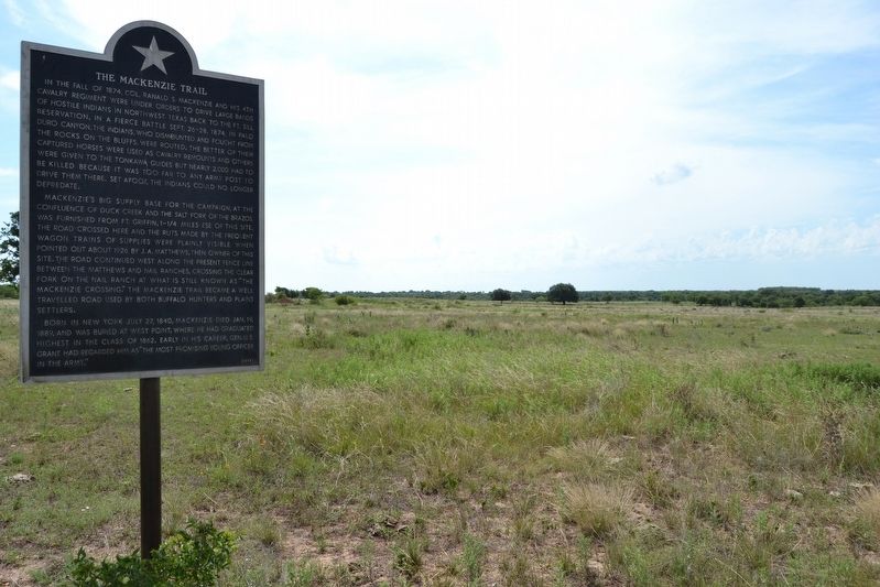
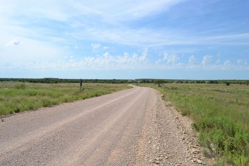
Mackenzie’s big supply base for the campaign, at the confluence of Duck Creek and the Salt Fork of the Brazos, was furnished from Ft. Griffin, 1-1/4 miles ESE of this site. The road crossed here and the ruts made by the frequent wagon trains of supplies were plainly visible when pointed out about 1926 by J.A. Matthews, then owner of this site. The road continued west along the present fence line between the Matthews and Nail ranches, crossing the Clear Fork on the Nail Ranch at what is still known as “The Mackenzie Crossing.” The Mackenzie Trail became a well travelled road used by both buffalo hunters and plains settlers.
Born in New York July 27, 1840, Mackenzie died Jan. 19, 1889, and was buried at West Point, where he had graduated highest in the class of 1862. Early in his career, Gen. U.S. Grant had regarded him as “the most promising young officer in the army.”
Erected 1992.
Topics and series. This historical marker is listed in these topic lists: Roads & Vehicles • Wars, US Indian. In addition, it is included in the Former U.S. Presidents: #18 Ulysses S. Grant series list. A significant historical year for this entry is 1874.
Location. 32° 55.986′ N, 99° 14.972′ W. Marker is near Albany, Texas, in Shackelford County. Marker is on County Road 182, 2.3 miles north of U.S. 283, on the right when traveling north. Touch for map. Marker is in this post office area: Albany TX 76430, United States of America. Touch for directions.
Other nearby markers. At least 8 other markers are within 2 miles of this marker, measured as the crow flies. Black Cemetery (approx. 0.2 miles away); Fort Griffin (approx. one mile away); Fort Griffin Lodge Hall (approx. 1.1 miles away); Frontier Town of Fort Griffin (approx. 1.1 miles away); The Western Cattle Trail Crossings at Fort Griffin (approx. 1.1 miles away); Fort Griffin Civil Jail (approx. 1.2 miles away); Civilian Conservation Corps at Fort Griffin (approx. 1.2 miles away); Russell Young Gilbert (approx. 1˝ miles away). Touch for a list and map of all markers in Albany.
Credits. This page was last revised on September 14, 2020. It was originally submitted on July 11, 2017, by Duane Hall of Abilene, Texas. This page has been viewed 597 times since then and 68 times this year. Photos: 1, 2, 3. submitted on July 11, 2017, by Duane Hall of Abilene, Texas.


