Near Throckmorton in Throckmorton County, Texas — The American South (West South Central)
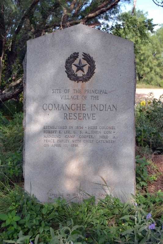
Site of the Principal Village of the Comanche Indian Reserve
Inscription.
Established in 1854. Here Colonel Robert E. Lee, U.S.A., then commanding Camp Cooper, held a peace parley with Chief Catumseh on April 11, 1856.
Erected 1936 by State of Texas. (Marker Number 992.)
Topics and series. This historical marker is listed in these topic lists: Native Americans • Wars, US Indian. In addition, it is included in the Texas 1936 Centennial Markers and Monuments series list. A significant historical year for this entry is 1854.
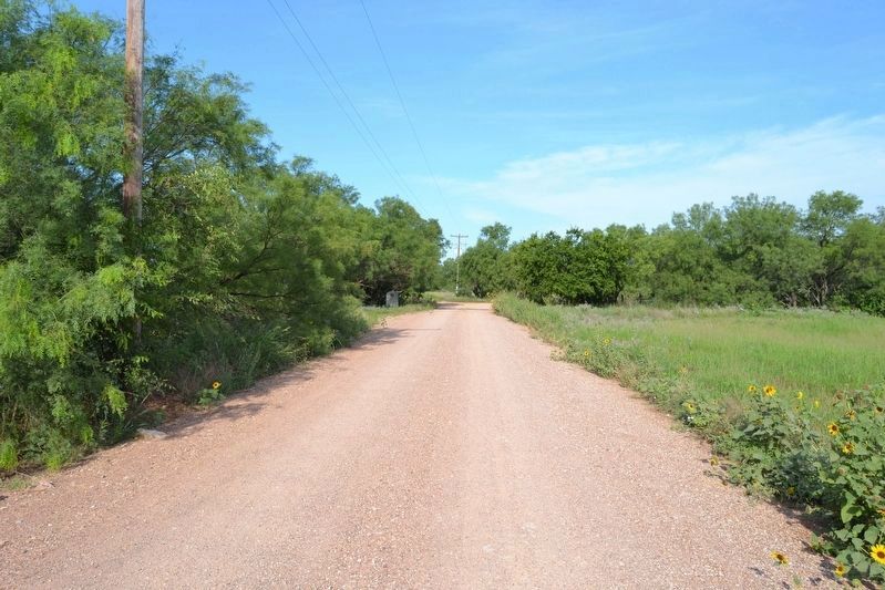
Location. 33° 1.427′ N, 99° 15.037′ W. Marker is near Throckmorton, Texas, in Throckmorton County. Marker is on County Road 292, 2.9 miles south of Farm to Market Road 2584, on the left when traveling west. Touch for map. Marker is in this post office area: Throckmorton TX 76483, United States of America. Touch for directions.
Other nearby markers. At least 8 other markers are within 7 miles of this marker, measured as the crow flies. Black Cemetery (approx. 6.3 miles away); The Mackenzie Trail (approx. 6.3 miles away); Fort Griffin Lodge Hall (approx. 6.3 miles away); Fort Griffin Civil Jail (approx. 6.4 miles away); The Western Cattle Trail Crossings at Fort Griffin (approx. 6˝ miles away); Frontier Town of Fort Griffin (approx. 6˝ miles away); Fort Griffin (approx. 6.8 miles away); Russell Young Gilbert (approx. 6.9 miles away).
Also see . . .
1. Comanche Indian Reservation. From the Texas State Historical Association’s “Handbook of Texas Online”. (Submitted on July 11, 2017.)
2. Old photo of marker from Portal to Texas History. (Submitted on November 27, 2019, by Richard Denney of Austin, Texas.)
Credits. This page was last revised on November 27, 2019. It was originally submitted on July 11, 2017, by Duane Hall of Abilene, Texas. This page has been viewed 874 times since then and 77 times this year. Photos: 1, 2, 3. submitted on July 11, 2017, by Duane Hall of Abilene, Texas.


