Near Vicksburg National Military Park in Warren County, Mississippi — The American South (East South Central)
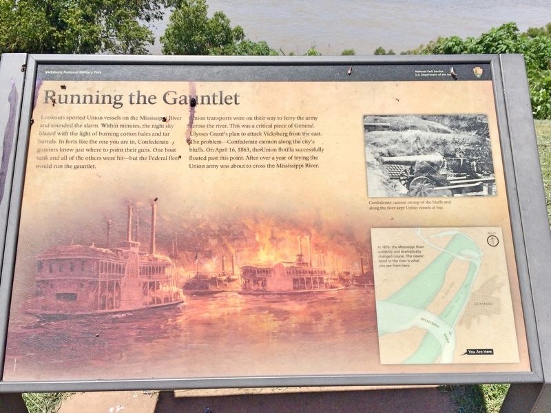
Running the Gauntlet
Photographed by Mark Hilton, June 27, 2017
1. Running the Gauntlet Marker
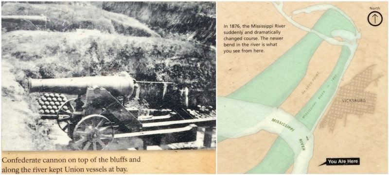
Union transports were on their way to ferry the army across the river. This was a critical piece of General Ulysses Grant's plan to attack Vicksburg from the east. The problem—Confederate cannon along the city's bluffs. On April 16, 1863, the Union flotilla successfully floated past this point. After over a year of trying the Union army was about to cross the Mississippi River.
Erected by National Park Service, U.S. Department of the Interior.
Topics and series. This historical marker is listed in these topic lists: War, US Civil • Waterways & Vessels. In addition, it is included in the Former U.S. Presidents: #18 Ulysses S. Grant series list. A significant historical date for this entry is April 16, 1863.
Location. 32° 19.186′ N, 90° 53.839′ W. Marker is
this page online

Regionally, this marker is in Natchez Trace Corridor and in Greater Jackson. It is also in the American South, specifically in the Deep South, in the Mississippi Delta, and in the Great River Road Region. Globally, it is in North America, a Gulf of Mexico state, the Western Hemisphere, the Western World, and the Anglosphere. Historically, it finds itself in what was once New Spain, the territory of the Mississippian Culture, one of the Confederate States of America, and the Antebellum South.
Other nearby markers. At least 8 other markers are within walking distance of this marker: Louisiana Eighth Battalion (within shouting distance of this marker); "The Widow Blakely" (within shouting
Photographed by Mark Hilton, June 27, 2017
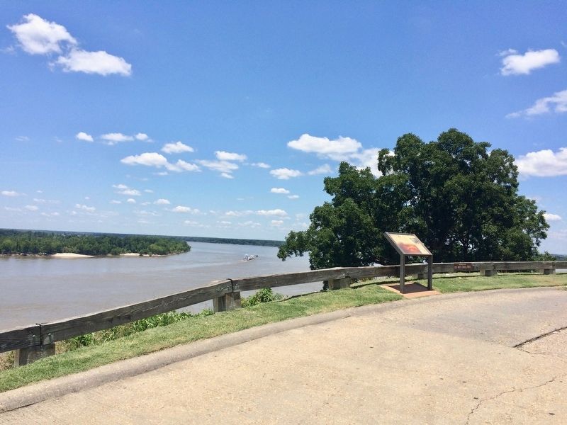
2. The view of marker looking upriver on the Mississippi.
Photographed by Mark Hilton, June 27, 2017
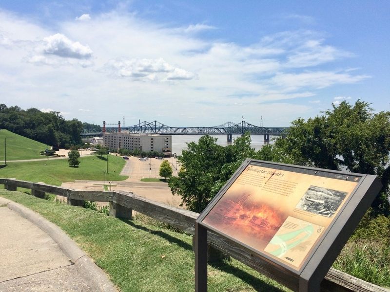
3. View downriver of the Old Vicksburg Bridge with the I-20 bridge behind it.
Photographed by Mark Hilton, June 27, 2017
4. The Louisiana Circle pull-off sign.
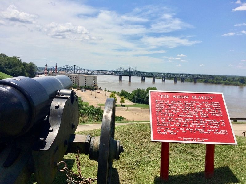
Louisiana Circle is located on Washington Street and overlooks the Mississippi River approximately 1 mile north of Interstate 20. The batteries at Louisiana Circle and South Fort were the southernmost anchors of the Confederate defensive line, and the heavy guns located at these positions had commanding views of the Mississippi River and the Federal naval approaches from the south. Confederate defenders at these locations participated in duels with the Union fleet and land-based artillery.
During the siege the "Widow Blakely" was actually emplaced about one mile north of its present location at Louisiana Circle. It was named after its English manufacturer, "Blakely," and called "widow" due to the fact that it was the only Blakely cannon in the Vicksburg defenses. During the siege, a 10-inch Columbiad was positioned at the present-day Louisiana Circle.
During the siege the "Widow Blakely" was actually emplaced about one mile north of its present location at Louisiana Circle. It was named after its English manufacturer, "Blakely," and called "widow" due to the fact that it was the only Blakely cannon in the Vicksburg defenses. During the siege, a 10-inch Columbiad was positioned at the present-day Louisiana Circle.
Photographed by Mark Hilton, June 27, 2017
5. "The Widow Blakely" cannon near the marker.
Photographed by Mark Hilton
6. Photo and map from marker.
Credits. This page was last revised on October 5, 2020. It was originally submitted on July 13, 2017, by Mark Hilton of Montgomery, Alabama. This page has been viewed 679 times since then and 55 times this year. Photos: 1, 2, 3, 4, 5, 6. submitted on July 13, 2017, by Mark Hilton of Montgomery, Alabama.
