Near Vicksburg National Military Park in Warren County, Mississippi — The American South (East South Central)
Gibraltar of the Confederacy
Photographed by Mark Hilton, June 27, 2017
1. Gibraltar of the Confederacy Marker
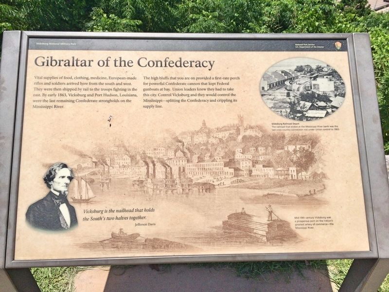
The high bluffs that you are on provided a first-rate perch for powerful Confederate cannon that kept Federal gunboats at bay. Union leaders knew they had to take this city. Control Vicksburg and they would control the Mississippi—splitting the Confederacy and crippling its supply line.
Photo captions
Bottom left: Vicksburg is the nailhead that holds
the South's two halves together.
Jefferson Davis
Top right: Vicksburg Railroad Depot
The railroad that ended at the Mississippi River bank was the
last cross-country connection not under Union control in 1863.
Overall marker photo: Mid-19th century Vicksburg was
a prosperous port on the nation's
greatest artery of commerce—the
Mississippi River.
Erected by the National Park Service, Department of the Interior.
Topics. This historical
this page online
Location. 32° 18.765′ N, 90° 54.018′ W. Marker is near Vicksburg National Military Park, Mississippi, in Warren County. It is on Navy Circle west of Washington Street (Business U.S. 61), on the left when traveling north. Navy Circle is a detached park of the Vicksburg National Military Park and is subject to closing by the Park Service. Touch for map. Marker is at or near this postal address: Navy Circle, Vicksburg MS 39180, United States of America. Touch for directions.

Regionally, this marker is in Natchez Trace Corridor and in Greater Jackson. It is also in the American South, specifically in the Deep South, in the Mississippi Delta, and in the Great River Road Region. Globally, it is in North America, a Gulf of Mexico state, the Western Hemisphere, the Western World, and the Anglosphere. Historically, it finds itself in what was once New Spain, the territory of the Mississippian Culture, one of the Confederate States of America, and the Antebellum South.
Photographed by Mark Hilton, June 27, 2017
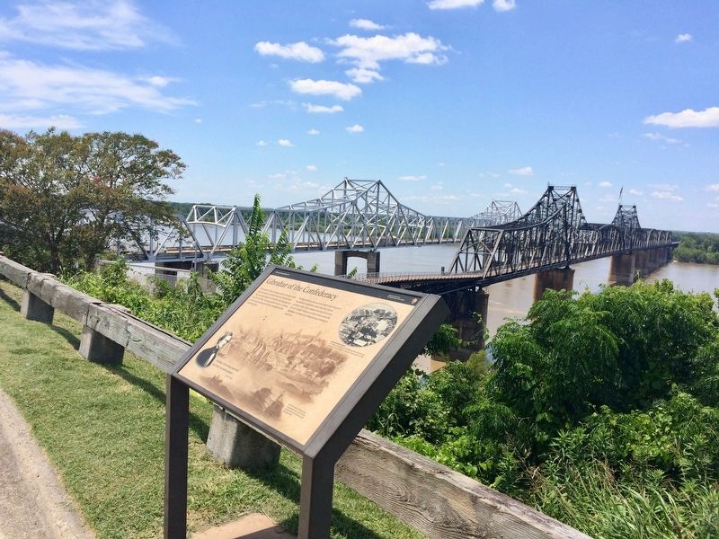
2. Marker with the Old Vicksburg Bridge (right) and the I-20 bridge over the Mississippi bridge.
Other nearby markers. At least 8 other markers are within walking distance of this marker: U.S. Battery Benton. (a few steps from this marker); Vicksburg Siege (about 400 feet away, measured in a direct line); Mississippi (about 400 feet away); Iowa (approx. 0.2 miles away); C.S. Company G, (approx. ¼ mile away); C.S. Company A, (approx. ¼ mile away); C.S. Company C, (approx. ¼ mile away); C.S. Company I, (approx. ¼ mile away).
Photographed by Mark Hilton, June 27, 2017
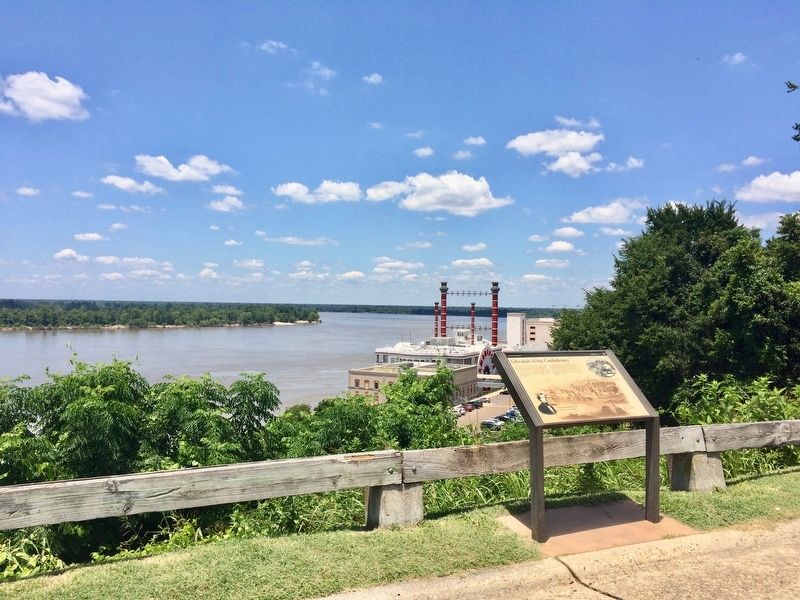
3. View upriver on the Mississippi and a casino below.
Photographed by Mark Hilton, June 27, 2017
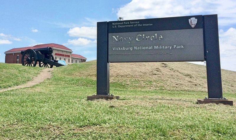
4. The National Park Service sign for Navy Circle, with U.S. Battery Benton to left.
Credits. This page was last revised on October 5, 2020. It was originally submitted on July 13, 2017, by Mark Hilton of Montgomery, Alabama. This page has been viewed 751 times since then and 39 times this year. Photos: 1, 2, 3, 4. submitted on July 13, 2017, by Mark Hilton of Montgomery, Alabama.
