Near Desbarats in Algoma District, Ontario — Central Canada (North America)
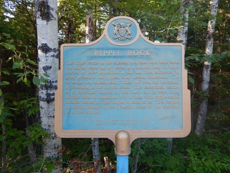
"Ripple Rock"
The ripple marks on the adjacent rock face were made some two billion years ago by waves in a shallow body of water. Buried by later deposition of silt and then subjected to great pressure, the rippled sand became sandstone. The formation was subsequently tilted 60° from the horizontal by crumpling of the Earth's crust. This exceptional feature is of particular interest in that there are at least three distinct beds of sandstone, two of them with ripple-marks oriented almost at right angles to each other. This implies an abrupt change in the direction either of the shoreline or of the current.
Erected by Archaeological and Historic Sites Board of Ontario.
Topics. This historical marker is listed in these topic lists: Environment • Natural Features.
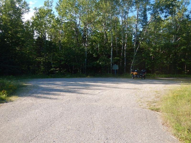
Location. 46° 20.262′ N, 83° 57.318′ W. Marker is near Desbarats, Ontario, in Algoma District. Marker is on Trans-Canada Highway (Provincial Highway 17) 1.5 kilometers west of Kensington Road, on the right when traveling west. Marker is located in a gravel pull-out. Touch for map. Marker is in this post office area: Desbarats ON P0R 1J0, Canada. Touch for directions.
Other nearby markers. At least 1 other marker is within 14 kilometers of this marker, measured as the crow flies. The Bruce Mines (approx. 13.5 kilometers away).
Credits. This page was last revised on October 25, 2023. It was originally submitted on July 16, 2017, by Kevin Craft of Bedford, Quebec. This page has been viewed 270 times since then and 24 times this year. Photos: 1, 2. submitted on July 16, 2017, by Kevin Craft of Bedford, Quebec.

