North Brainerd in Chattanooga in Hamilton County, Tennessee — The American South (East South Central)
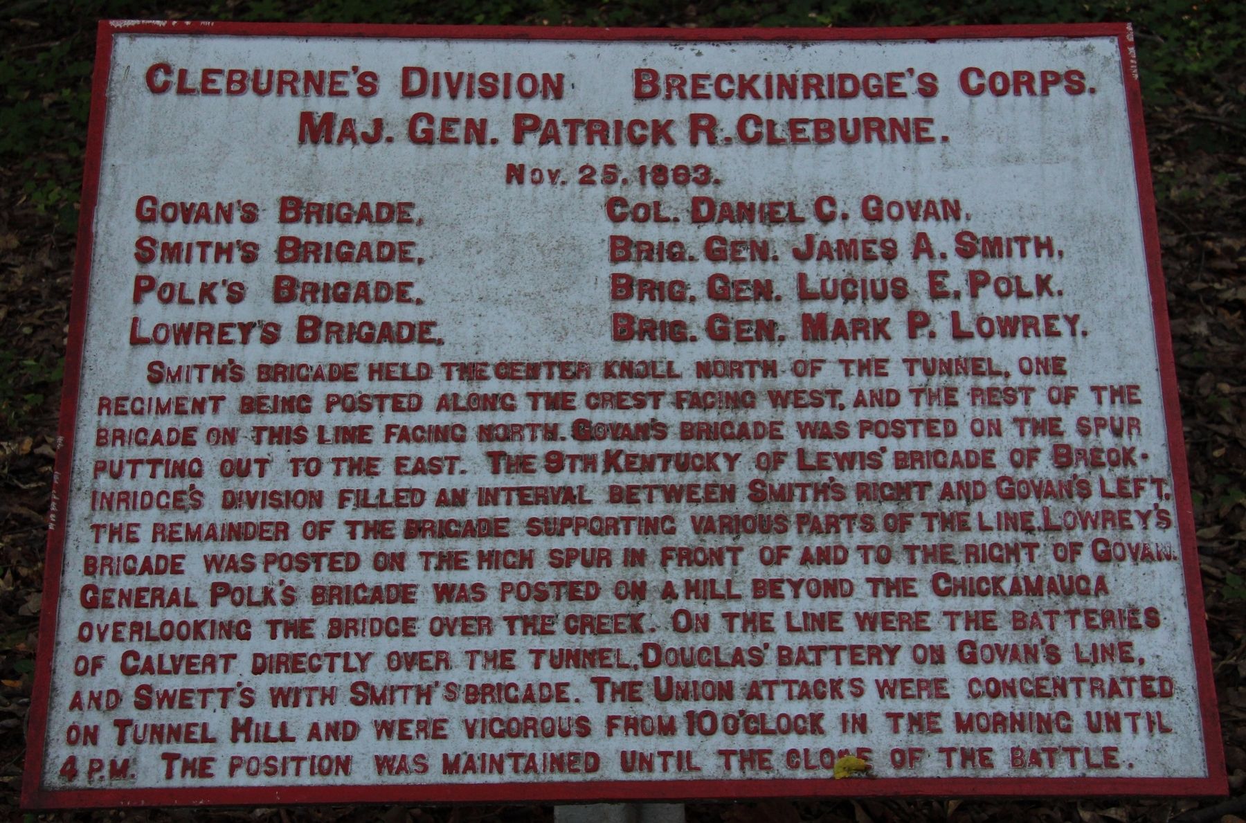
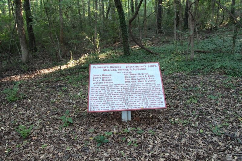
Cleburne's Division
Maj. Gen. Patrick R. Cleburne.
Nov. 25, 1863.
Govan's Brigade, - Col. Daniel C. Govan.
Smith's Brigade, - Brig. Gen. James A. Smith.
Polk's Brigade, - Brig. Gen. Lucius E. Polk.
Lowrey's Brigade, - Brig. Gen. Mark P. Lowrey.
Smith's Brigade held the central knoll north of the tunnel, one regiment being posted along the crest facing west, and the rest of the Brigade on this line facing north. Govan's Brigade was posted on the spur putting out to the east. The 9th Kentucky of Lewis' Brigade of Breckinridge's Division filled an interval between Smith's right and Govan's left, the remainder of the Brigade supporting various parts of the line. Lowrey's Brigade was posted on the high spur in front of and to the right of Govan. General Polk's Brigade was posted on a hill beyond the Chickamauga overlooking the bridge over the creek. On the line were the batteries of Calvert directly over the tunnel, Douglas' Battery on Govan's line, and Swett's with Smith's Brigade. The Union attacks were concentrated on Tunnel Hill and were vigorous from 10 o'clock in the morning until 4 P.M. The position was maintained until the close of the battle.
Erected 1890 by the Chickamauga and Chattanooga National Military Park Commission. (Marker Number MT-353.)
Topics. This historical marker is listed in this topic list: War, US Civil. A significant historical date for this entry is November 25, 1863.
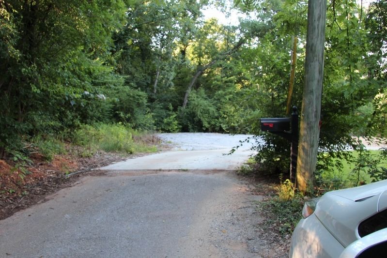
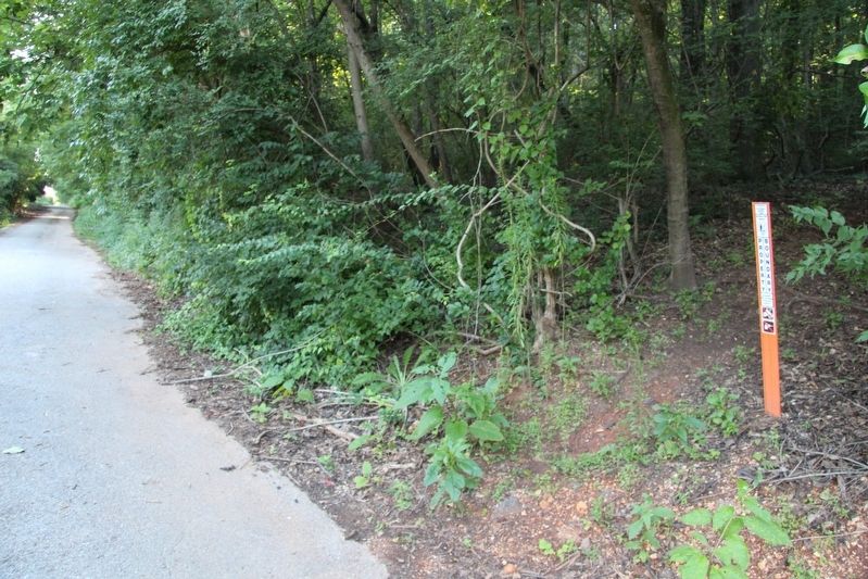
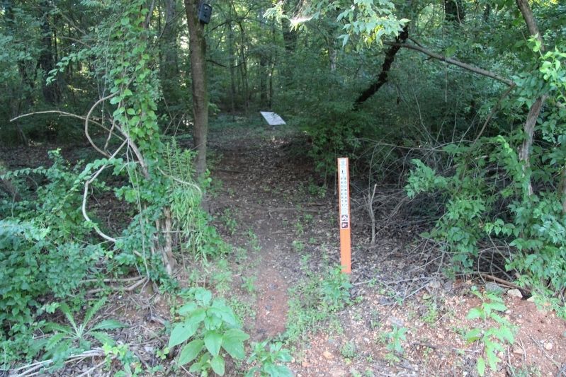
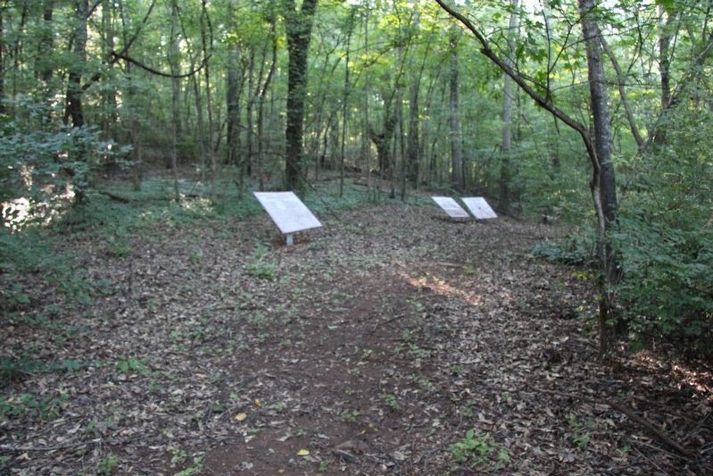
Location. 35° 4.133′ N, 85° 14.266′ W. Marker is in Chattanooga, Tennessee, in Hamilton County. It is in North Brainerd. Marker can be reached from Durand Avenue north of Lightfoot Mill Road, on the left when traveling north. This marker is located beside a walking trail that goes along the lower eastern slopes of the Sherman Reservation. Touch for map. Marker is in this post office area: Chattanooga TN 37404, United States of America. Touch for directions.
Other nearby markers. At least 8 other markers are within walking distance of this marker. Polk's Brigade (a few steps from this marker); a different marker also named Cleburne's Division (within shouting distance of this marker); Wright's Brigade (within shouting distance of this marker); 37th Ohio Infantry (about 700 feet away, measured in a direct line); 30th Ohio Infantry (about 700 feet away); 80th Ohio Infantry (about 700 feet away); Lowrey's Brigade (about 800 feet away); Lightburn's Brigade (about 800 feet away). Touch for a list and map of all markers in Chattanooga.
More about this marker. For years I have been attempting to locate and reach this tablet and several others in the Sherman Reservation, but I was using the traditional walking trails for attempting
to locate this tablet. This year, instead of using the traditional points of entering and exiting the Sherman Reservation, I was able to use the trailhead that began near the end of Durand Avenue, to enter into the Sherman Reservation and immediately found three tablets that I had been trying to locate for years.
Credits. This page was last revised on February 7, 2023. It was originally submitted on July 18, 2017, by Dale K. Benington of Toledo, Ohio. This page has been viewed 258 times since then and 13 times this year. Photos: 1, 2, 3, 4, 5, 6. submitted on July 18, 2017, by Dale K. Benington of Toledo, Ohio.
