Near Grand Gulf in Claiborne County, Mississippi — The American South (East South Central)
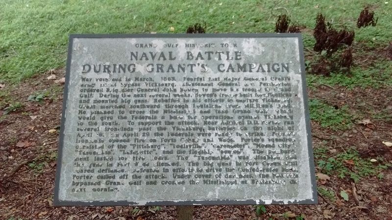
Naval Battle During Grant’s Campaign
Grand Gulf Historic Tour
Photographed by Tom Bosse, July 2, 2017
1. Naval Battle During Grant’s Campaign Marker
this page online
Topics and series. This historical marker is listed in these topic lists: War, US Civil • Waterways & Vessels. In addition, it is included in the Former U.S. Presidents: #18 Ulysses S. Grant series list. A significant historical month for this entry is March 1863.
Location. 32° 2.552′ N, 91° 3.097′ W. Marker is near Grand Gulf, Mississippi, in Claiborne County. It is on Grand Gulf Road 1.8 miles north of Frazier Road when traveling north. This marker, along with several others, are located in a wooded area at the end of Grand Gulf Road. Touch for map. Marker is in this post office area: Port Gibson MS 39150, United States of America. Touch for directions.

Regionally, this marker is in Southwest Mississippi, in Natchez Trace Corridor, and in Greater Jackson. It is also in the American South, specifically in the Deep South, and in the Great River Road Region. Globally, it is in North America, a Gulf of Mexico state,
Photographed by Tom Bosse, July 2, 2017
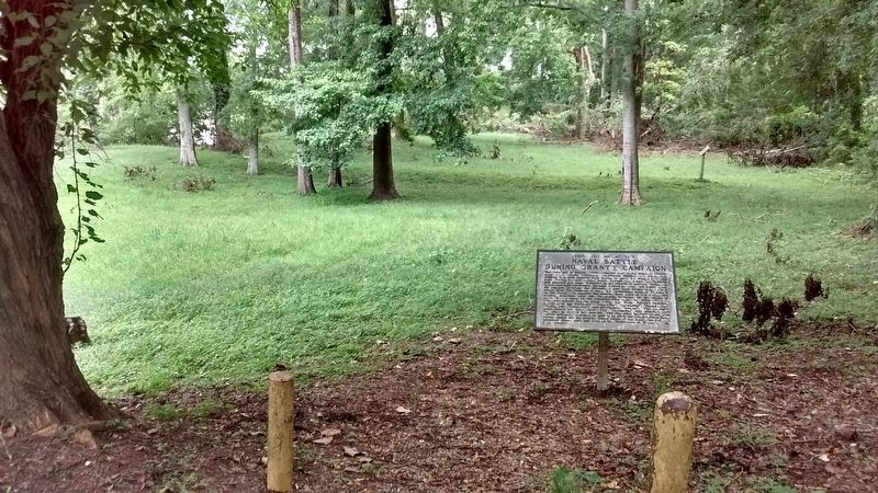
2. Naval Battle During Grant’s Campaign Marker
Other nearby markers. At least 8 other markers are within walking distance of this marker: Fort Cobun (within shouting distance of this marker); Whirlpool (within shouting distance of this marker); Site of Hot Shot Furnace (within shouting distance of this marker); Point of Rock (within shouting distance of this marker); On to Vicksburg (approx. 0.6 miles away); Grand Gulf (approx. 0.7 miles away); Town of Grand Gulf (approx. 0.7 miles away); Confederate Rifle Pits (approx. 0.7 miles away). Touch for a list and map of all markers in Grand Gulf.
Also see . . . The Battle of Grand Gulf. (Submitted on July 18, 2017, by Tom Bosse of Jefferson City, Tennessee.)
Photographed by Tom Bosse
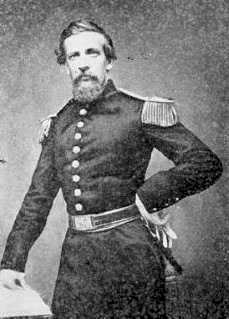
3. Gen. John S. Bowen
Photographed by Tom Bosse
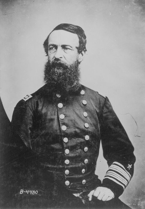
4. Admiral David D. Porter
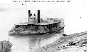
Photographed by Tom Bosse
5. USS Tuscumbia
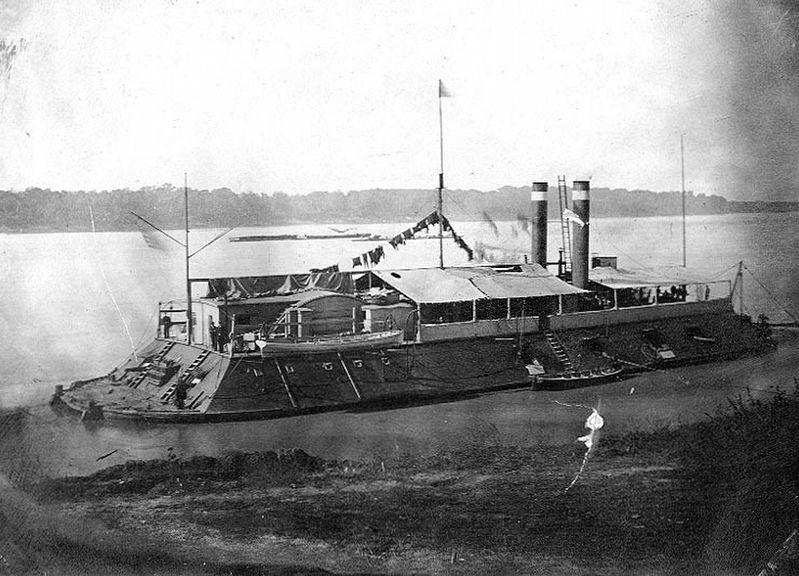
Photographed by Tom Bosse
6. USS Cincinnati
Credits. This page was last revised on December 4, 2018. It was originally submitted on July 18, 2017, by Tom Bosse of Jefferson City, Tennessee. This page has been viewed 430 times since then and 34 times this year. Photos: 1, 2, 3, 4, 5, 6. submitted on July 18, 2017, by Tom Bosse of Jefferson City, Tennessee. • Bernard Fisher was the editor who published this page.
