Near Preston in Franklin County, Idaho — The American West (Mountains)
The Shoshone
Massacre at Bear River
| — | Moving With The Seasons | — |
Photographed by Barry Swackhamer, June 21, 2017
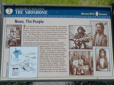
1. The Shoshone Marker
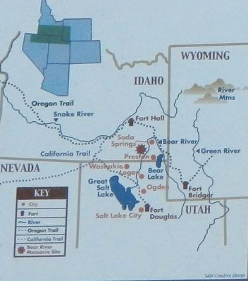
The Shoshone refer to themselves as Newe, the People. Their ancestral territory reached from the Wind River Range in western Wyoming to the middle of Nevada, and from the Salmon River in northeastern Idaho to central Utah. The descendants of the band massacred here - the So-so-goi, or "People That Travel on Foot" - today are the Northwestern Band of the Shoshone Nation and live in northeastern Utah and southeastern Idaho.
Traditionally the Shoshone people lived in extended family groups and moved with the seasons to hunt and gather plants and animals that were available at different times of the year. In the warm months they would hunt buffalo in Wyoming, catch salmon in northern Idaho, gather pine nuts in northern Utah and Nevada, and collect plants and hunt deer and small animals wherever they camped. Winter was spent settled in the southern reaches of their territory or in sheltered areas such as the bend of the Bear River at the site. below. (Marker Number 1.)
Topics. This historical marker is listed in these topic lists: Indigenous Peoples and Communities • Wars, US Indian.
Location. 42° 9.178′ N,
this page online

Regionally, this marker is in Idaho’s Bear River Country. It is also in the American Mountain West. Globally, it is in North America, the Western Hemisphere, the Western World, and the Anglosphere.
Other nearby markers. At least 8 other markers are within walking distance of this marker: Shoshone Bear River Winter Home (within shouting distance of this marker); Change and Conflict (within shouting distance of this marker); California Volunteers March to the Bear River (within shouting distance of this marker); Attack at Bia Ogoi (within shouting distance of this marker); A Battle Becomes a Massacre (within shouting distance of this marker); The Earth Will Remember (within shouting distance of this marker); Utah & Northern Railway (approx. 0.9 miles away); Bear River Massacre (approx. 0.9 miles away). Touch for a list and map
Photographed by Barry Swackhamer, June 21, 2017
2. Shoshone Lands, detail from The Shoshone Marker
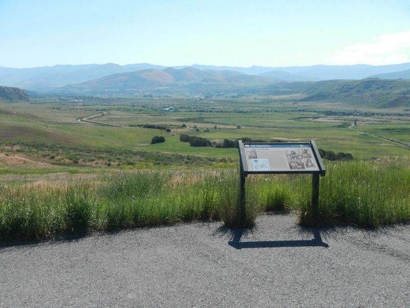
More about this marker. The Bear River Massacre Interpretive Site is located on a hilltop overlooking the site of the massacre.
Photographed by Barry Swackhamer, June 21, 2017
3. The Shoshone Marker
The Bear River Valley below
Credits. This page was last revised on July 18, 2017. It was originally submitted on July 18, 2017, by Barry Swackhamer of Brentwood, California. This page has been viewed 716 times since then and 30 times this year. Photos: 1, 2, 3. submitted on July 18, 2017, by Barry Swackhamer of Brentwood, California.
