Teotihuacán de Arista in Teotihuacán, Mexico State, Mexico — The Central Highlands (North America)
A Ceremonial Incense Burner
Photographed by J. Makali Bruton, June 28, 2017
1. A Ceremonial Incense Burner Marker
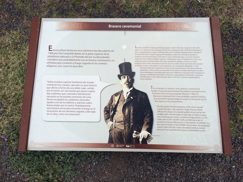
"Sobre el plano superior horizontal del templo central de tres cuerpos, descubrí un gran brasero que afecta la forma de una doble copa, ceñida por el centro con una banda que parece sujetar dos cuadretes que, colocados lateralmente opuestos en las paredes exteriores del vaso, llevan esculpidos los calabrotes retorcidos iguales a los de los tableros y además cuatro barras atadas por el centro. Probablemente este brasero servía para encender el fuego en la renovación de ese elemento sagrado, cada siglo de 52 años, como los mexicanos"
Náhuatl:
this page online
English:
Photographed by J. Makali Bruton, June 28, 2017
2. A Ceremonial Incense Burner Marker
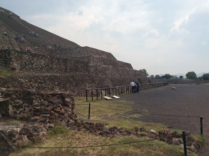
The marker is the farthest to the left. Unfortunately it does not appear that the incense burner mentioned in the marker text is still present in the area. The next marker to the right is "Construction Systems at the Pyramid of the Sun". Further to the right (south) along the pyramid's face is the marker "Sculptures of the Adorned Platform".
“On the upper horizontal plane of the three-tiered central temple, I discovered a large brazier which affects the shape of a double goblet encircled at the middle with a band made to look like it holds in place two small squares which, positioned oppositely on the outer part of the vessel's walls, exhibit carvings of twisted cords just like those on the panels, in addition to four bars knotted in the middle. This brazier was probably used to light the fire in the renovation of that sacred element every period of 52 years, as the Mexicas did.”
Erected by Instituto Nacional de Antropología e Historia (INAH).
Topics. This historical marker is listed in these topic lists: Anthropology & Archaeology • Architecture • Indigenous Peoples and Communities • Religion & Religious Structures. A significant historical year for this entry is 1906.
Location. 19° 41.586′ N, 98° 50.684′ W. Marker is in Teotihuacán de Arista, Estado de Mexico (Mexico State), in
Photographed by J. Makali Bruton, June 28, 2017
3. A Ceremonial Incense Burner Marker
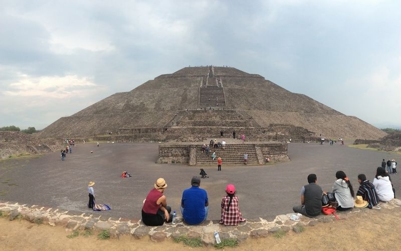
The marker is the farthest to the left in this view of the Pyramid of the Sun.

Regionally, this marker is in Central Mexico and specifically in Mexico City Metropolitan Area. Globally, it is in North America, specifically in Mesoamerica, on the Ring of Fire, and in the Western Hemisphere. Historically, it finds itself in what was once New Spain, a Spanish colony, and the Aztec Empire.
Other nearby markers. At least 8 other markers are within walking distance of this marker: The Importance of the Pyramid of the Sun (within shouting distance of this marker); The Meaning of the Pyramid of the Sun (within shouting distance of this marker); Pyramid of the Sun (about 90 meters away, measured in a direct line); a different marker also named The Pyramid of the Sun (about 90 meters away); Teotihuacan After Its Abandonment (about 180 meters away); Construction Systems of the Pyramid of the Sun (about 210 meters away); Mural del Puma / The Puma Mural (approx. 0.3 kilometers away); The History of Teotihuacán (approx. 0.3 kilometers away). Touch for a list and map of all markers in Teotihuacán de Arista.
Credits. This page was last revised on July 28, 2023. It was originally submitted on July 18, 2017, by J. Makali Bruton of Washington, District of Columbia. This page has been viewed 327 times since then and 23 times this year. Photos: 1, 2, 3. submitted on July 18, 2017, by J. Makali Bruton of Washington, District of Columbia.
