Mackinaw City in Cheboygan County, Michigan — The American Midwest (Great Lakes)
Mackinaw City
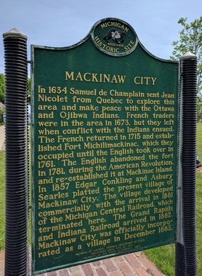
Photographed by Joel Seewald, June 11, 2017
1. Mackinaw City Marker
Side 1
In 1634 Samuel de Champlain sent Jean Nicolet from Quebec to explore this area and make peace with the Ottawa and Ojibwa Indians. French traders were in the area in 1673, but they left when conflict with the Indians ensued. The French returned in 1715 and established Fort Michilimackinac, which they occupied until the English took over in 1761. The English abandoned the fort in 1781, during the American Revolution, and re-established it at Mackinac Island. In 1857 Edgar Conkling and Asbury Searles platted the present village of Mackinaw City. The village developed commercially with the arrival in 1881 of the Michigan Central Railroad, which terminated here. The Grand Rapids and Indiana Railroad arrived here in 1882. Mackinaw City was officially incorporated as a village in December 1883.
Side 2
This site was the terminus of the Dixie Highway, the Mackinaw Trail, the East Michigan Pike and the West Michigan Pike. The East and West Pikes were mapped out in 1913 as gravel and dirt roads. Concrete construction began in the 1920s. Private auto clubs began making trips on the West Michigan Pike, which extended from
this page online
Erected 1987 by Bureau of History, Michigan Department of State. (Marker Number L1414.)
Topics and series. This historical marker is listed in these topic lists: Colonial Era • Railroads & Streetcars • Roads & Vehicles • Settlements & Settlers. In addition, it is included in the Michigan Historical Commission series list. A significant historical month for this entry is December 1883.
Location. 45° 46.876′ N, 84° 43.509′ W. Marker is in Mackinaw City, Michigan, in Cheboygan County. It is at the intersection of North Huron Avenue, on the right when traveling east on North Huron Avenue. Marker is on the north edge of Conkling Heritage Park's marina green at the southeast corner of the intersection of
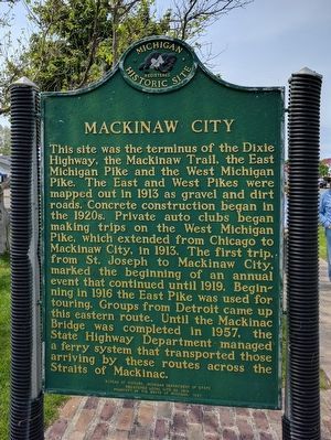
Photographed by Joel Seewald, June 11, 2017
2. Mackinaw City Marker

Regionally, this marker is in Northern Michigan Lower Peninsula, on the Straits of Mackinac, and in one of the Lake Huron Shore counties. It is also in the American Midwest. Globally, it is in North America, in the Great North Woods, on the Great Lakes, in the Western Hemisphere, in the Western World, and in the Anglosphere. Historically, it finds itself in what was once the Northwest Territory.
Other nearby markers. At least 8 other markers are within walking distance of this marker: Iron Horse (a few steps from this marker); Chief Wawatam (a few steps from this marker); The Algomah (a few steps from this marker); Shepler's Ferry (a few steps from this marker); Guardian Spirit (within shouting distance of this marker); Mackinaw's Civil War Dahlgren Cannons (within shouting distance of this marker); Mackinaw, Mackinac or Michilimackinac? (within shouting distance of this marker); Mackinaw City Veterans Memorial (within
Photographed by Joel Seewald, June 11, 2017
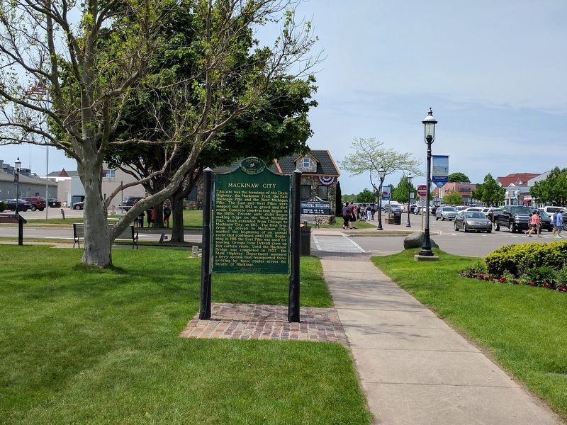
3. Mackinaw City Marker
View looking west toward the city hall.
Other markers no longer nearby. The Algomah (was a few steps from this marker but has been replaced with another marker now near it); Mackinaw's Civil War Cannons (was within shouting distance of this marker but has been replaced with another marker now near it); a different marker also named Mackinaw, Mackinac or Michilimackinac? (was within shouting distance of this marker but has been replaced with another marker now near it).
Additional commentary.
1. Mackinaw City marker
This marker is Number 14 on the Mackinaw City Historical Pathway tour.
— Submitted June 10, 2019, by Joel Seewald of Madison Heights, Michigan.
Photographed by J. J. Prats, August 2, 2024
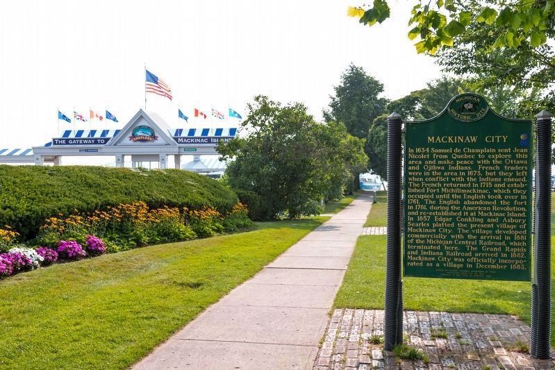
4. Mackinaw City Marker
This view is looking east. The entrance to Shepler's Mackinac Island Ferry parking lot and dock is in the distance.
Credits. This page was last revised on August 19, 2024. It was originally submitted on July 21, 2017, by Joel Seewald of Madison Heights, Michigan. This page has been viewed 530 times since then and 39 times this year. Photos: 1, 2, 3. submitted on July 21, 2017, by Joel Seewald of Madison Heights, Michigan. 4. submitted on August 19, 2024, by J. J. Prats of Powell, Ohio.
