Mackinaw City in Cheboygan County, Michigan — The American Midwest (Great Lakes)
Chief Wawatam
Mackinaw City Historical Pathway
Photographed by J.T. Lambrou, January 2, 2023
1. Chief Wawatam Marker
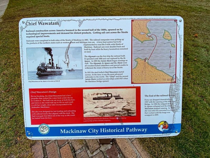
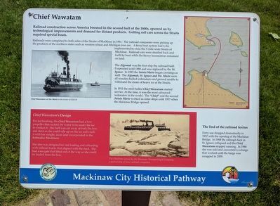
Railroad construction across America boomed in the second half of the 1800s, spurred on by technological improvements and demand for distant products. Getting rail cars across the Straits required special boats.
Railroads were completed on both sides of the Straits of Mackinac in 1881. The railroad companies were picking up the products of the northern states such as western wheat and Michigan iron ore. A ferry boat system had to be implemented to cross the 5-mile wide Straits of Mackinac. Railroad cars were shuttled back and forth by boat while the heavy locomotives remained on land.
The Algomah was the first ship the railroad built. It operated until 1888 and was replaced by the St. Ignace. In 1893, the Sainte Marie began crossings as well. The Algomah, St. Ignace and Ste. Marie were all wooden-hulled icebreakers and proved unable to withstand the strain of heavy ice at the Straits.
In 1911 the steel-hulled Chief Wawatam started service. At the time, it was the most advanced icebreaker in the world. The "Chief" and the second Sainte Marie worked as sister ships until 1957 when the Mackinac Bridge opened.
The End of the railroad ferries
Ferry
this page online
Chief Wawatam's Design
For ice breaking, the Chief Wawatam had a bow propeller that sucked the water from under the ice to weaken it. Her hull was cut away at both the bow and stern so she could ride up on the ice and crush it with her weight, ideas later incorporated in the Icebreaker Mackinaw.
She also was designed for fast loading and unloadings with railroad tracks that aligned with the dock. She has a sea gate that lifted out of the way so she could be loaded from the bow.
Topics. This historical marker is listed in these topic lists: Roads & Vehicles • Waterways & Vessels. A significant historical year for this entry is 1881.
Location. 45° 46.876′ N, 84° 43.5′ W. Marker is in Mackinaw City, Michigan, in Cheboygan County. It is on North Huron Avenue, on the right when traveling east. Marker is on the north edge of Conkling Heritage Park's marina green at the southeast
Photographed by Joel Seewald, June 11, 2017
2. Chief Wawatam Marker

Regionally, this marker is in Northern Michigan Lower Peninsula, on the Straits of Mackinac, and in one of the Lake Huron Shore counties. It is also in the American Midwest. Globally, it is in North America, in the Great North Woods, on the Great Lakes, in the Western Hemisphere, in the Western World, and in the Anglosphere. Historically, it finds itself in what was once the Northwest Territory.
Other nearby markers. At least 8 other markers are within walking distance of this marker: Iron Horse (here, next to this marker); Mackinaw City (a few steps from this marker); The Algomah (within shouting distance of this marker); Shepler's Ferry (within shouting distance of this marker); Guardian Spirit (within shouting distance of this marker); Mackinaw City Veterans Memorial (within shouting distance of this marker); Mackinaw's Civil War Dahlgren Cannons (within shouting distance of this marker);
Photographed by Joel Seewald, June 11, 2017
3. Chief Wawatam Marker
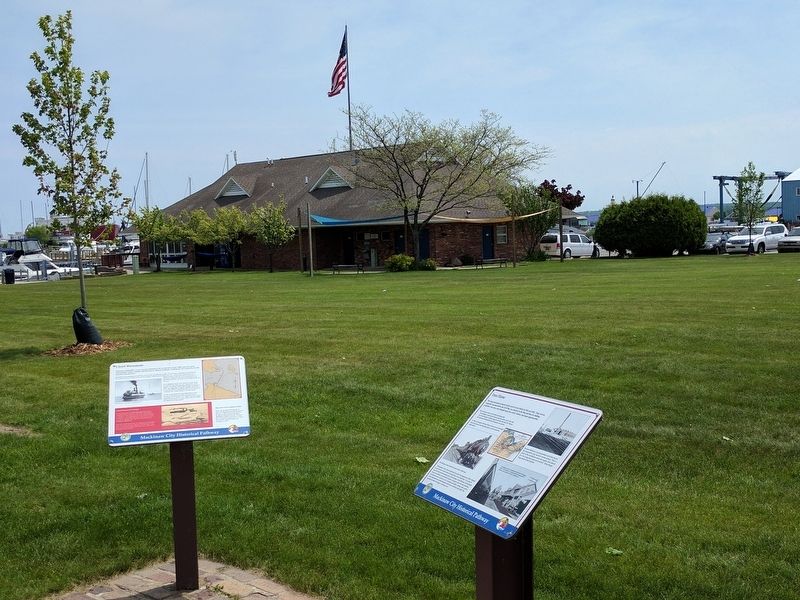
Chief Wawatam marker is on the left; Iron Horse marker is on the right.
Other markers no longer nearby. The Algomah (was within shouting distance of this marker but has been replaced with another marker now near it); Mackinaw's Civil War Cannons (was within shouting distance of this marker but has been replaced with another marker now near it); The Dixie Highway (was within shouting distance of this marker but has been replaced with another marker now near it).
Regarding Chief Wawatam. It was owned by the Mackinaw Transportation Company, a partnership of three railroad companies. Railroads changed hands often, and by 1925 the owners were The Duluth, South Shore & Atlantic Railway that operated in the Upper Peninsula of Michigan while the Michigan Central Railroad and the Pennsylvania Railroad operated in the Michigan’s lower peninsula. Michigan Central’s tracks ran from Mackinaw City to Detroit and beyond, while the Pennsylvania Railroad ran to Grand Rapids and beyond, notably serving Chicago.
Also see . . . SS Chief Wawatam. Wikipedia article (Submitted on July 22, 2017, by Joel Seewald of Madison Heights, Michigan.)
Credits. This page was last revised on August 19, 2024. It was originally submitted on July 22, 2017, by Joel Seewald of Madison Heights, Michigan. This page has been viewed 825 times since then and 50 times this year. Photos: 1. submitted on January 7, 2023, by J.T. Lambrou of New Boston, Michigan. 2, 3. submitted on July 22, 2017, by Joel Seewald of Madison Heights, Michigan.
