Near Sheldon in Beaufort County, South Carolina — The American South (South Atlantic)
Prince William's Parish Church
(Sheldon Church)
Photographed by Dale K. Benington, July 24, 2017
1. Prince William's Parish Church Marker
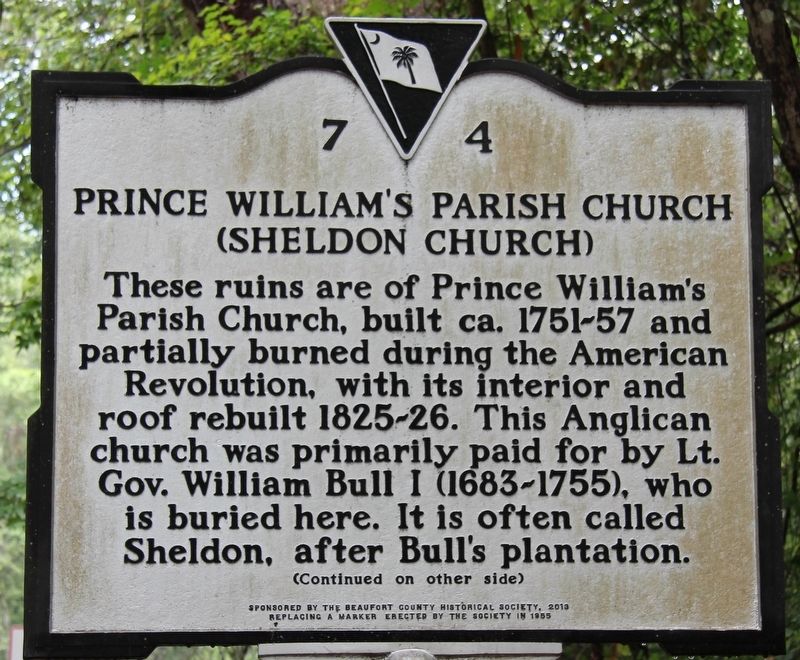
Close-up view of the text on the front side of the marker.
These ruins are of Prince William's Parish Church, built ca. 1751-1757 and partially burned during the American Revolution, with its interior and roof rebuilt 1825-26. This Anglican church was primarily paid for by Lieutenant Governor William Bull I (1683-1755), who is buried here. It is often called Sheldon, after Bull's plantation.
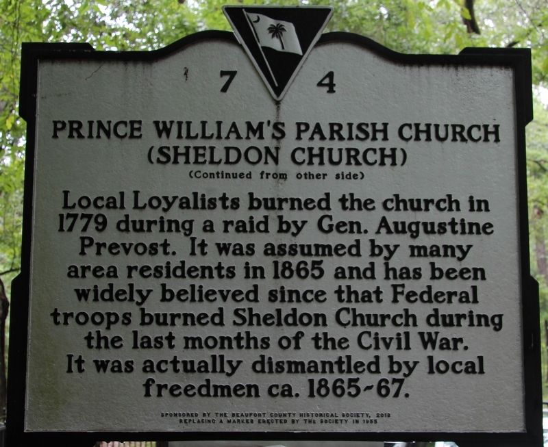
Local Loyalists burned the church in 1779 during a raid by General Augustine Prevost. It was assumed by many area residents in 1865 and has been widely believed since that Federal troops burned Sheldon Church during the last months of the Civil War. It was actually dismantled by local freedmen ca. 1865-67.
Erected 2013 by tSouth Carolina Department of Archives and History; sponsored by the Beaufort County Historical Society, replacing a marker erected by the society in 1955. (Marker Number 7-4.)
Topics. This historical marker is listed in these topic lists: Colonial Era • Religion & Religious Structures • War, US Civil • War, US Revolutionary.
Location. 32° 37.087′ N, 80° 46.858′ W. Marker is near Sheldon, South Carolina,
this page online

Regionally, this marker is in the Lowcountry, in the Ashepoo and Combahee and Edisto Basin. It is also in the American South, specifically in the Deep South, and on the Eastern Seaboard. Globally, it is in the North Atlantic Region, North America, the Western Hemisphere, the Western World, and the Anglosphere. Historically, it finds itself in what was once New Spain, the territory of the Mississippian Culture, one of the original Thirteen Colonies, one of the Confederate States of America, and the Antebellum South.
Other nearby markers. At least 8 other markers are within 6 miles of this marker, measured as the crow flies: Church of Prince William's Parish (within shouting distance of this marker); William Bull (within shouting distance of this marker); Sheldon Union Academy / Sheldon School (approx. 1.6 miles away); The Beginning (approx. 5.4 miles away); African American Troops at Honey Hill
Photographed by Dale K. Benington, July 24, 2017
2. Prince William's Parish Church Marker
Close-up view of the text on the front side of the marker.
Other markers no longer nearby. Ruins of Old Sheldon (was a few steps from this marker but has been replaced with another marker now near it); "The Frampton Line" (was approx. 5.4 miles away but has been replaced with another marker now near it); Southern Live Oak Tree (was approx. 5.4 miles away but has been replaced with another marker now near it).
More about this marker. According to the small print, at the bottom of each side of the marker, this particular marker replaces an older marker that was erected by the same Beaufort County Historical Society. You will find photographs of that older marker here.
Photographed by Dale K. Benington, July 24, 2017
3. Prince William's Parish Church Marker
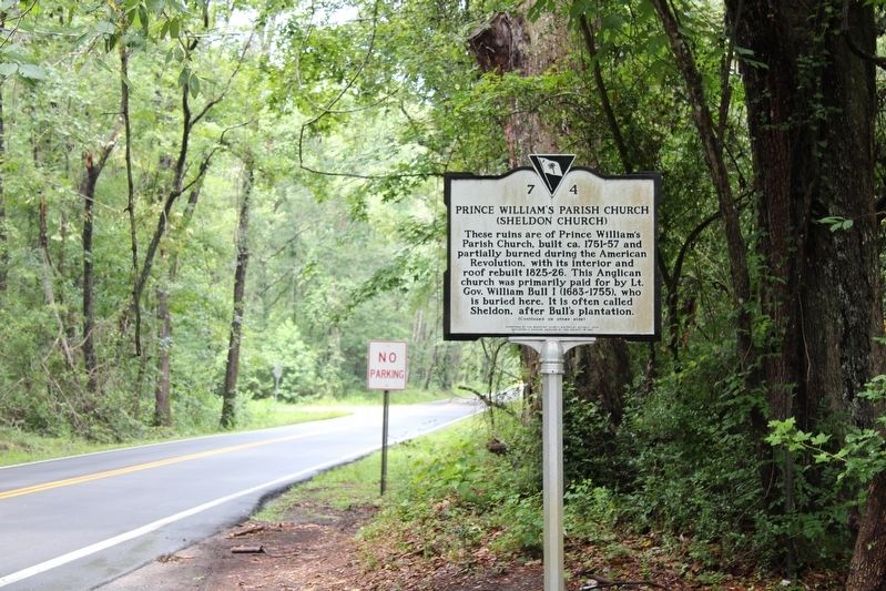
View of the marker looking north along the Old Sheldon Church Road.
Photographed by Dale K. Benington, July 24, 2017
4. Prince William's Parish Church Marker
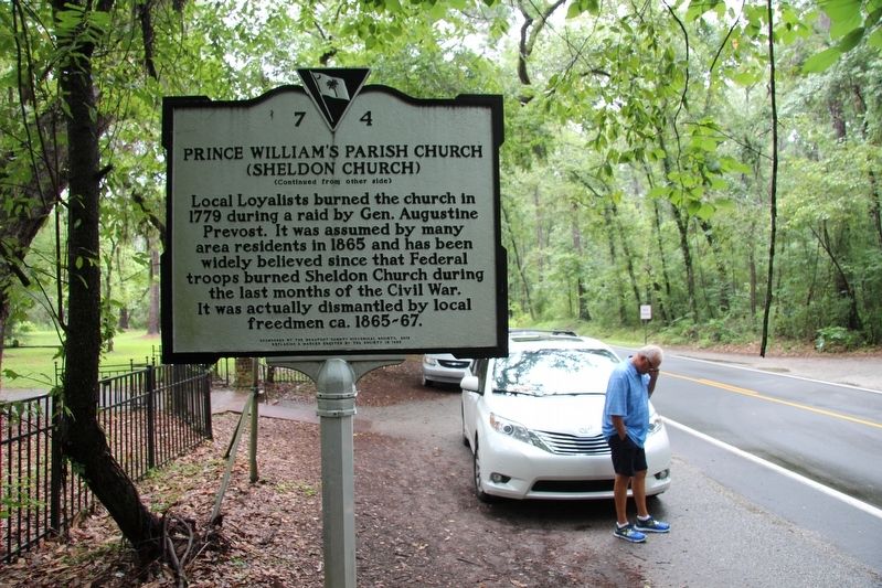
View of the marker looking south along the Old Sheldon Church Road.
Photographed by Dale K. Benington, July 24, 2017
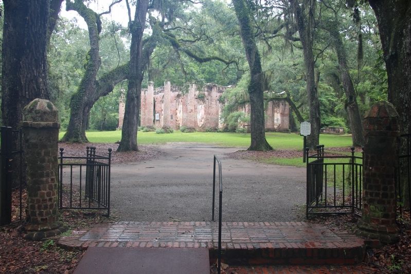
5. Prince William's Parish Church
A view of the "Old Sheldon Church," as seen from the roadside gated entrance to this park.
Photographed by Dale K. Benington, July 24, 2017
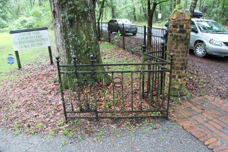
6. "Old Sheldon Church" Park
View, looking south, of the gated entrance to the "Old Sheldon Church" park.
Photographed by Dale K. Benington, July 24, 2017
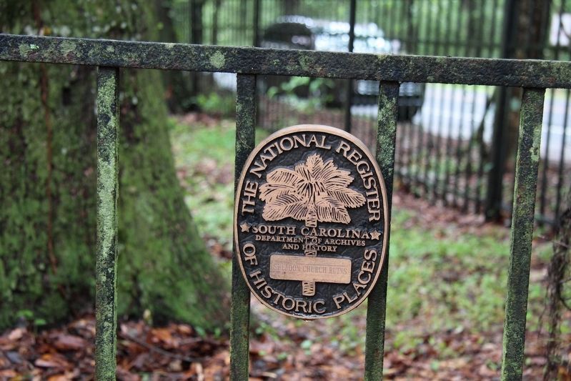
7. "Old Sheldon Church" Park
View of the National Register Historic Places plaque affixed to the front entrance gate of the park.
Photographed by Dale K. Benington, July 24, 2017
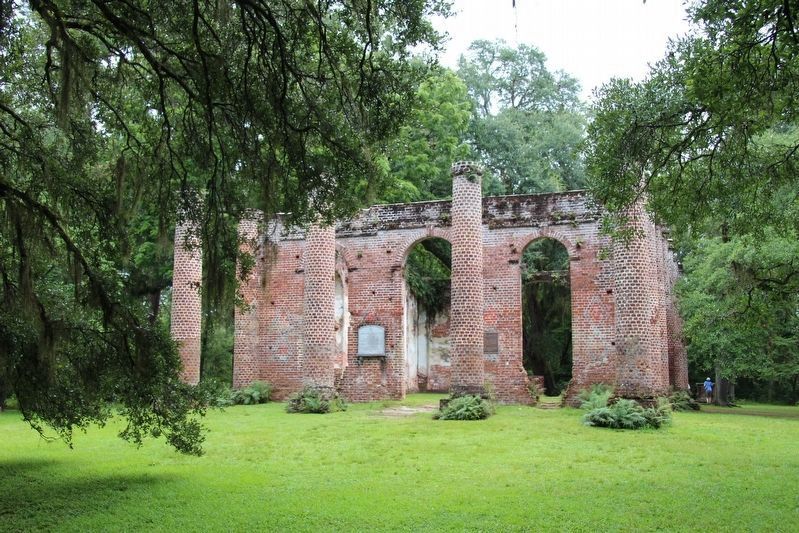
8. Prince William's Parish Church Marker
A view of the ruins of the "Old Sheldon Church."
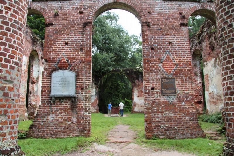
Photographed by Dale K. Benington, July 24, 2017
9. Prince William's Parish Church
View of the front entrance of the ruins of the "Old Sheldon Church."
Credits. This page was last revised on May 31, 2026. It was originally submitted on July 25, 2017, by Dale K. Benington of Toledo, Ohio. This page has been viewed 1,265 times since then and 136 times this year. Photos: 1, 2, 3, 4, 5, 6, 7, 8, 9. submitted on July 25, 2017, by Dale K. Benington of Toledo, Ohio.
