Robeline in Natchitoches Parish, Louisiana — The American South (West South Central)
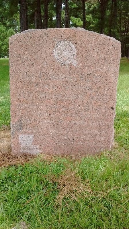
El Camino Real
Kings Highway
| — | Old San Antonio Road | — |
Photographed by Tom Bosse, July 4, 2017
1. El Camino Real Marker
Historical park ¼ mile from here.
Site of Los Adaes,
once capital of Spanish Texas.
Erected by the State of Louisiana
and the Daughters of the American Revolution.
Erected by State of Louisiana and the Daughters of the American Revolution.
Topics and series. This historical marker is listed in these topic lists: Colonial Era • Forts and Castles • Roads & Vehicles. In addition, it is included in the Daughters of the American Revolution (DAR), and the El Camino Real de los Tejas National Historic Trail series lists.
Location. 31° 42.093′ N, 93° 17.537′ W. Marker is in Robeline, Louisiana, in Natchitoches Parish. It is at the intersection of Natchitoches Highway (State Highway 6) and State Highway 485, on the left when traveling east on Natchitoches Highway. Touch for map. Marker is in this post office area: Robeline LA 71469, United States of America. Touch for directions.

Regionally, this marker is in Central Louisiana. It is also in the American South, specifically in the Deep South, and in the Piney Woods. Globally, it is in North America, a Gulf of Mexico state, the Western Hemisphere, the Western World, and the Anglosphere. Historically, it finds itself in what was once New Spain, the Viceroyalty of New France, the territory of the Mississippian Culture, the Louisiana Purchase, one of the Confederate States of America, and the Antebellum South.
Other nearby markers. At least 8 other markers are within 9 miles of this marker, measured as the crow flies: Los Adaes (a few steps from this marker); Los Adais (approx. 0.4 miles away); The Presidio Nuestra Senora del Pilar de los Adais (approx. half a mile away); El Camino Real de los Tejas (approx. half a mile away); Church of St. Anne (approx. 5.9 miles away); Saint Tekakwitha Plaque and Statue
this page online
Also see . . . El Camino Real de los Tejas National Historic Trail. (Submitted on July 26, 2017, by Tom Bosse of Jefferson City, Tennessee.)
Photographed by Tom Bosse, July 4, 2017
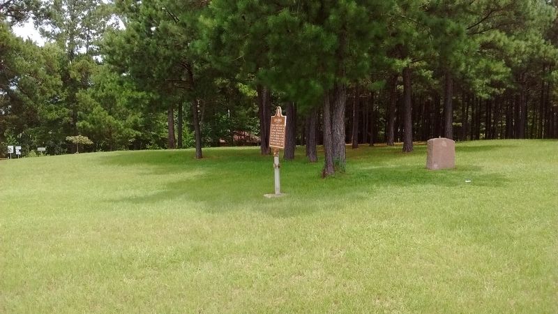
2. El Camino Real Marker
Credits. This page was last revised on July 26, 2017. It was originally submitted on July 26, 2017, by Tom Bosse of Jefferson City, Tennessee. This page has been viewed 425 times since then and 24 times this year. Photos: 1, 2. submitted on July 26, 2017, by Tom Bosse of Jefferson City, Tennessee. • Bernard Fisher was the editor who published this page.
