
The Forks in Winnipeg, Manitoba — Canada’s Prairie Region (North America)
The Path of Time
Photographed by Kevin Craft, July 9, 2017
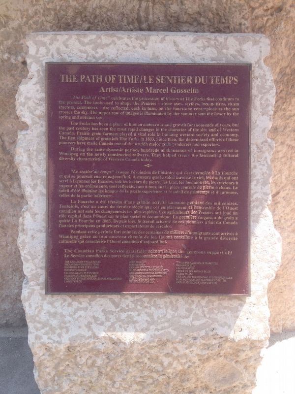
1. The Path of Time Marker
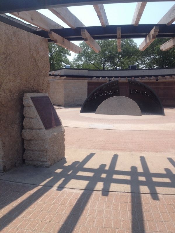
"The Path of Time" celebrates the procession of history at The Forks that continues to the present. The tools used to shape the Prairies - stone axes, scythes, locomotives, steam tractors, computers - are reflected, each in turn, on the limestone centerpiece as the sun crosses the sky. The upper row of images is illuminated by the summer sun; the lower by the spring and autumn sun.
The Forks has been a place of human endeavour and growth for thousands of years, but the past century has seen the most rapid changes in the character of the site and of Western Canada. Prairie grain farmers played a vital role in building western society and economy. The first shipment of grain left The Forks in 1883. Since then, the determined efforts of these pioneers have made Canada one of the world's major grain producers and exporters.
During the same dynamic period, hundreds of thousands of immigrants arrived in Winnipeg on the newly constructed railways. They helped create the fascinating cultural diversity characteristic of Western Canada today.
Erected by Canadian Parks Service.
Topics. This historical marker is listed
this page online
Location. 49° 53.355′ N, 97° 7.709′ W. Marker is in Winnipeg, Manitoba. It is in The Forks. It can be reached from River Walk. Marker is located on a walking path between Israel Asper Way and The Forks National Historic Amphitheatre. Touch for map. Marker is in this post office area: Winnipeg MB R3C 4Y3, Canada. Touch for directions.

Regionally, this marker is in Manitoba’s Historic Winnipeg. It is also in the Prairies. Globally, it is in North America, the Western Hemisphere, the Western World, and the Anglosphere. Historically, it finds itself in what was once a British colony, the Viceroyalty of New France, and Rupert’s Land.
Other nearby markers. At least 8 other markers are within walking distance of this marker: Forks of the Red and Assiniboine (within shouting distance of this marker); The Creation of Manitoba (within shouting distance of this marker); Pierre Gaultier de Varennes et de La Vérendrye (approx. 0.3 kilometers away); Joseph Royal (approx.
Photographed by Kevin Craft, July 9, 2017
2. Wideview of The Path of Time Marker
Credits. This page was last revised on October 24, 2025. It was originally submitted on August 1, 2017, by Kevin Craft of Bedford, Quebec. This page has been viewed 597 times since then and 16 times this year. Photos: 1, 2. submitted on August 1, 2017, by Kevin Craft of Bedford, Quebec.
