Near Boise City in Cimarron County, Oklahoma — The American South (West South Central)
The Santa Fe Trail
Photographed by Duane Hall, July 15, 2017
1. The Santa Fe Trail
(Left Panel)
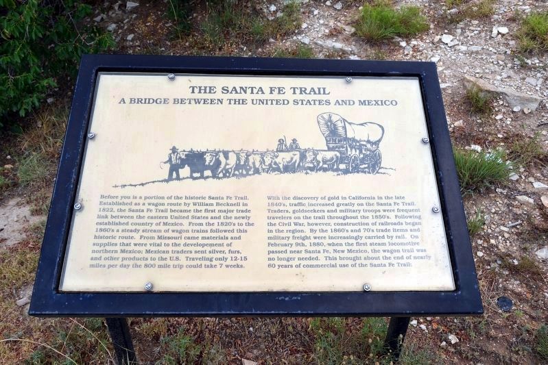
The Santa Fe Trail
A Bridge Between the United States and Mexico
Before you is a portion of the historic Santa Fe Trail. Established as a wagon route by William Becknell in 1822, the Santa Fe Trail became the first major trade link between the eastern United States and the newly established country of Mexico. From the 1820’s to the 1860’s a steady stream of wagon trains followed this historic route. From Missouri came materials and supplies that were vital to the development of northern Mexico; Mexican traders sent silvers, furs, and other products to the U.S. Traveling only 12-15 miles per day the 800 mile trip could take 7 weeks.
With the discovery of gold in California in the late 1840’s, traffic increased greatly on the Santa Fe Trail. Traders, goldseekers and military troops were frequent travelers on the trail throughout the 1850’s. Following the Civil War, however, construction of railroads began in the region. By the 1860’s and 70’s trade items and military freights were increasingly carried by rail. On February 9th, 1880, when the first steam locomotive passed near Santa Fe, New Mexico,
this page online
(Right Panel)
The Santa Fe Trail
A Cultural Tidal Wave Through Indian Land
"I do not want to settled down in the houses you would build for us. I love to roam over the wild prairie. There I am free and happy."
Satanta (White Bear), Kiowa warrior and chief
The Santa Fe Trail had a profound impact on the lives of the Indians of the Southern Plains. Comanche, Kiowa, Plains Apache, Cheyenne and Arapaho warriors fought hard to protect their lands from the arrival of traders and emigrants.
By the mid-1870’s, as a result of intense military pressure and the slaughter of millions of buffalo, these Plain Indian tribes were forced to begin a new life on reservations. While the Santa Fe Trail Trail opened the door to American expansion in the Southwest, it signaled an end to the Plains Indian’s nomadic way of life.
Topics and series. This historical marker is listed in these topic lists: Indigenous Peoples and Communities • Roads & Vehicles. In addition, it is included in the Santa Fe Trail series

Photographed by Duane Hall, July 15, 2017
2. The Santa Fe Trail
Location. 36° 51.86′ N, 102° 30.952′ W. Marker is near Boise City, Oklahoma, in Cimarron County. It is on U.S. 287 3.1 miles north of E0130 Road, on the left when traveling north. Touch for map. Marker is in this post office area: Boise City OK 73933, United States of America. Touch for directions.

Regionally, this marker is in Northwest Oklahoma — Red Carpet Country and in the Oklahoma Panhandle. It is also in the American South, specifically on the prairies, on the Southern Plains, on the High Plains, and on the Santa Fe Trail Corridor. Globally, it is in North America, the Western Hemisphere, the Western World, and the Anglosphere. Historically, it finds itself in what was once New Spain, the Comanchería, the territory of the Mississippian Culture, the Dust Bowl, the Louisiana Purchase, the Republic of Texas, and Cimmaron Territory.
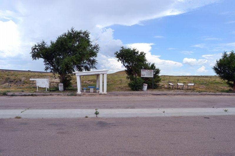
Other nearby markers. At least 3 other markers are within 10 miles of this marker, measured as the crow flies: A different marker also named Santa Fe Trail (a few steps from this marker); The Mormon Battalion in the Oklahoma Panhandle
Photographed by Duane Hall, July 15, 2017
3. Santa Fe Trail Markers
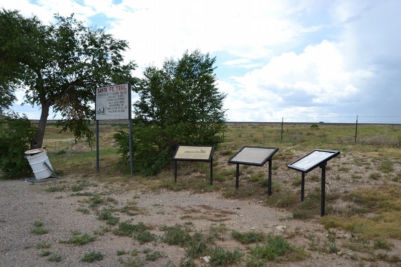
More about this marker. The Santa Fe Trail ran east-west directly behind the marker.
Also see . . .
1. Santa Fe National Historic Trail. From the National Park Service website. (Submitted on August 2, 2017.)
2. Santa Fe Trail Association. Official website of the association. (Submitted on August 2, 2017.)
Photographed by Duane Hall, July 15, 2017
4. Santa Fe Trail Markers at Roadside Picnic Area
Photographed by Duane Hall, July 15, 2017
5. Welcome to the Santa Fe Trail
Credits. This page was last revised on August 2, 2017. It was originally submitted on August 2, 2017, by Duane Hall of Abilene, Texas. This page has been viewed 617 times since then and 36 times this year. Photos: 1, 2, 3, 4, 5. submitted on August 2, 2017, by Duane Hall of Abilene, Texas.
