Natchitoches in Natchitoches Parish, Louisiana — The American South (West South Central)
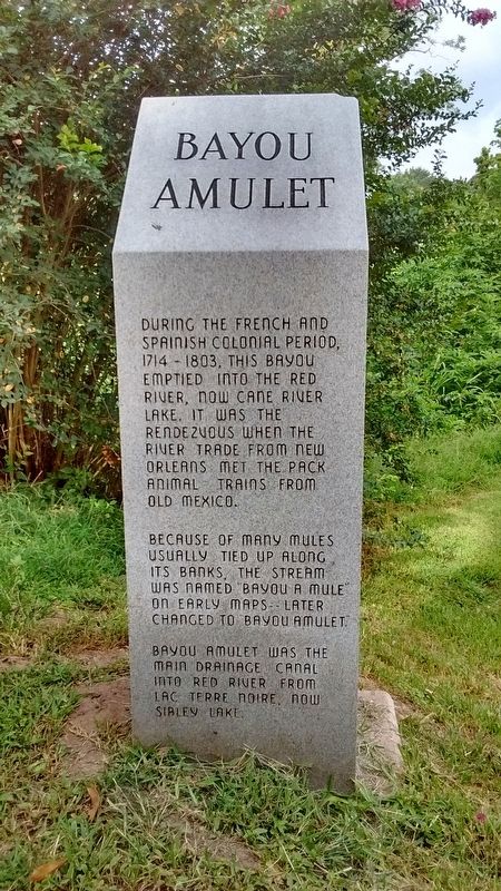
Bayou Amulet
Because of the many mules usually tied up along its banks, the stream was named "Bayou A Mule" on early maps -- later changed to Bayou Amulet.
Bayou Amulet was the main drainage canal into the Red River from Lac Terre Noire, now Sibley Lake.
Topics. This historical marker is listed in these topic lists: Colonial Era • Waterways & Vessels. A significant historical year for this entry is 1714.
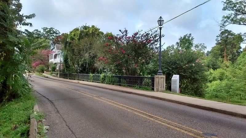
Location. 31° 45.419′ N, 93° 5.256′ W. Marker is in Natchitoches, Louisiana, in Natchitoches Parish. Marker is on Jefferson Street (State Highway 6) south of Amulet Street, on the left when traveling north. Touch for map. Marker is in this post office area: Natchitoches LA 71457, United States of America. Touch for directions.
Other nearby markers. At least 8 other markers are within walking distance of this marker. Preservation In Natchitoches (about 600 feet away, measured in a direct line); Robert Buford "Bobby" Deblieux (about 600 feet away); Dr. John Sibley (approx. 0.2 miles away); Natchitoches and the Early American Period (approx. 0.2 miles away); El Camino Real de los Tejas (approx. 0.2 miles away); Ft. St. Jean Baptiste (approx. 0.2 miles away); The Red River Campaign (approx. ¼ mile away); The Legacy of Catholicism (approx. ¼ mile away). Touch for a list and map of all markers in Natchitoches.
Credits. This page was last revised on August 4, 2017. It was originally submitted on August 3, 2017, by Tom Bosse of Jefferson City, Tennessee. This page has been viewed 558 times since then and 48 times this year. Photos: 1, 2, 3, 4. submitted on August 3, 2017, by Tom Bosse of Jefferson City, Tennessee. • Bernard Fisher was the editor who published this page.


