
Near Kakabeka Falls in Thunder Bay District, Ontario — Central Canada (North America)
The Mountain Portage
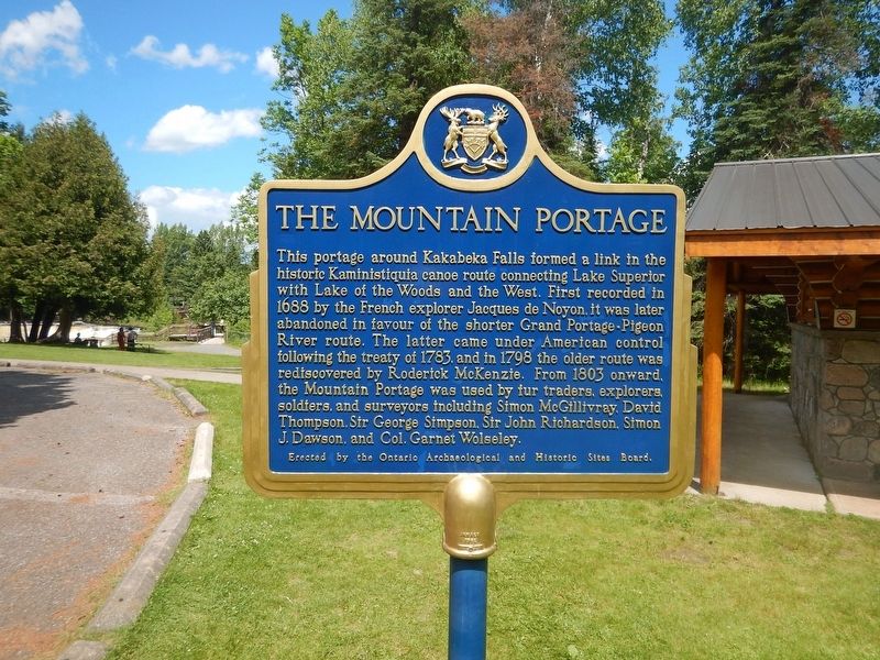
Photographed by Kevin Craft, July 10, 2017
1. The Mountain Portage Marker
This portage around Kakabeka Falls formed a link in the historic Kaministiquia canoe route connecting Lake Superior with Lake of the Woods and the West. First recorded in 1688 by the French explorer Jacques de Noyon, it was later abandoned in favour of the shorter Grand Portage-Pigeon River route. The latter came under American control following the treaty of 1783, and in 1798 the older route was rediscovered by Roderick McKenzie. From 1803 onward, the Mountain Portage was used by fur traders, explorers, soldiers, and surveyors including Simon McGillivray, David Thompson, Sir George Simpson, Sir John Richardson, Simon J. Dawson, and Col. Garnet Wolseley.
Erected by Ontario Archaeological and Historic Sites Board.
Topics and series. This historical marker is listed in these topic lists: Natural Features • Waterways & Vessels. In addition, it is included in the Canada, Ontario Heritage Trust series list. A significant historical year for this entry is 1688.
Location. 48° 24.082′ N, 89° 37.498′ W. Marker is near Kakabeka Falls, Ontario, in Thunder Bay District. It can be reached from no nearby street. Marker is located
this page online

Regionally, this marker is in Northern Ontario and specifically in Northwest Ontario. It is also in Central Canada. Globally, it is in North America, in the Great North Woods, on the Great Lakes, on Lake Superior’s North Shore, in the Western Hemisphere, in the Western World, and in the Anglosphere. Historically, it finds itself in what was once a British colony, the Viceroyalty of New France, the Haudenosaunee (Iroquois) Confederacy, and Rupert’s Land.
Other nearby markers. At least 7 other markers are within 10 kilometers of this marker, measured as the crow flies: The Kaministikwia Route (within shouting distance of this marker); Kakabeka Falls (approx. 0.6 kilometers away); Centennial of Confederation (approx. 0.6 kilometers away); Oliver Daunais 1836-1916 (approx. 5.9 kilometers away); Oliver Agricultural Society (approx. 9.1 kilometers away); a different marker also named Centennial of Confederation (approx. 9.1 kilometers away); The Founding of Oliver Township
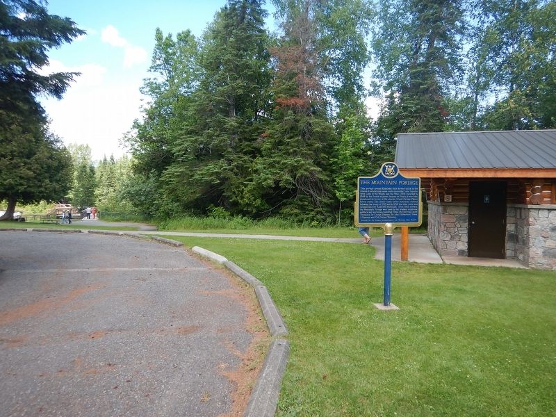
Photographed by Kevin Craft, July 10, 2017
2. Wideview of The Mountain Portage Marker
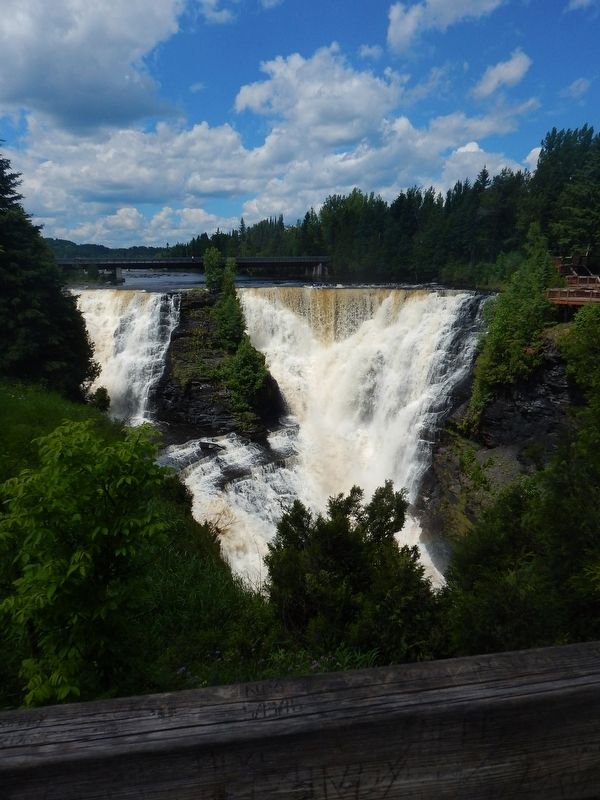
Photographed by Kevin Craft, July 10, 2017
3. Kakabeka Falls
Credits. This page was last revised on August 4, 2017. It was originally submitted on August 4, 2017, by Kevin Craft of Bedford, Quebec. This page has been viewed 465 times since then and 45 times this year. Photos: 1, 2, 3. submitted on August 4, 2017, by Kevin Craft of Bedford, Quebec.
