Anniston in Calhoun County, Alabama — The American South (East South Central)
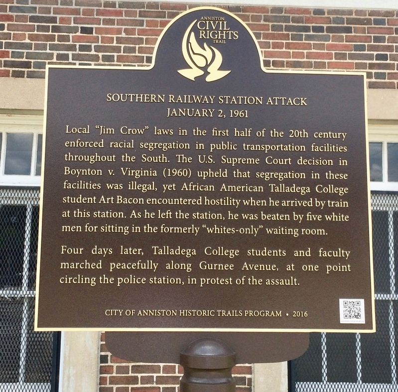
Southern Railway Station Attack
January 2, 1961
— Anniston Civil Rights Trail —
Local "Jim Crow" laws in the first half of the 20th century enforced racial segregation in public transportation facilities throughout the South. The U.S. Supreme Court decision in Boynton v. Virginia (1960) upheld that segregation in these facilities was illegal, yet African American Talladega College student Art Bacon encountered hostility when he arrived by train at this station. As he left the station, he was beaten by five white men for sitting in the formerly "whites-only" waiting room.
Four days later, Talladega College students and faculty marched peacefully along Gurnee Avenue, at one point circling the police station, in protest of the assault.
Erected 2016 by City of Anniston Historic Trails Program. (Marker Number 1.)
Topics and series. This historical marker is listed in these topic lists: African Americans • Civil Rights • Railroads & Streetcars. In addition, it is included in the Anniston Civil Rights Trail, Alabama, and the Historically Black Colleges and Universities series lists.
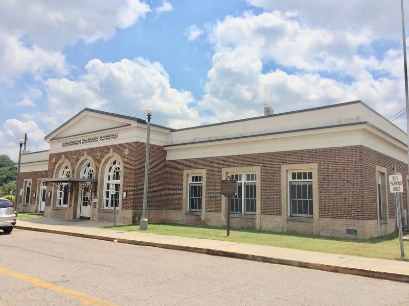
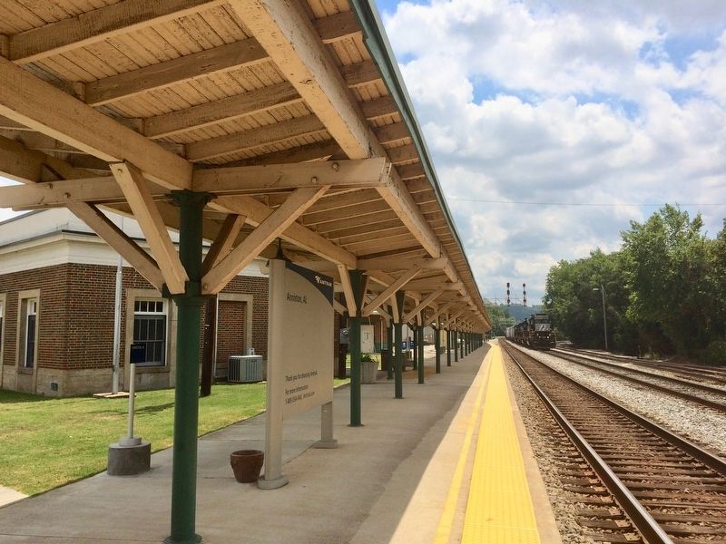
Location. 33° 38.951′ N, 85° 49.927′ W. Marker is in Anniston, Alabama, in Calhoun County. Marker is on West 4th Street east of Spruce Avenue, on the right when traveling east. Located in front of the Anniston Amtrak Station. Touch for map. Marker is at or near this postal address: 126 West 4th Street, Anniston AL 36201, United States of America. Touch for directions.
Other nearby markers. At least 8 other markers are within walking distance of this marker. Trailways Attack (approx. half a mile away); Trailways Bus Station Attack (approx. half a mile away); 906 Noble Street (approx. half a mile away); 910 Noble Street (approx. half a mile away); 913 Noble Street (approx. half a mile away); 920 Noble Street (approx. half a mile away); 15 W. 10th Street (approx. 0.6 miles away); First Lot Sold (approx. 0.6 miles away). Touch for a list and map of all markers in Anniston.
Also see . . .
1. Boynton v. Virginia. Wikipedia entry (Submitted on August 5, 2017, by Mark Hilton of Montgomery, Alabama.)
2. Jim Crow Laws. Wikipedia entry (Submitted on August 5, 2017, by Mark Hilton of Montgomery, Alabama.)
3. Anniston Civil Rights Trail. City webpage, with links to trail maps (Submitted on January 11, 2021, by Larry Gertner of New York, New York.)
Credits. This page was last revised on June 24, 2021. It was originally submitted on August 5, 2017, by Mark Hilton of Montgomery, Alabama. This page has been viewed 1,311 times since then and 100 times this year. Photos: 1, 2, 3. submitted on August 5, 2017, by Mark Hilton of Montgomery, Alabama.


