Yorktown in York County, Virginia — The American South (Mid-Atlantic)
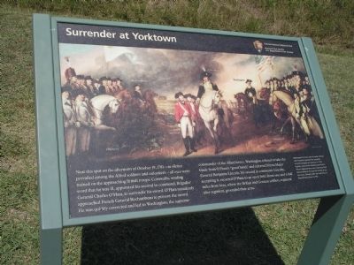
Surrender at Yorktown
Colonial National Historical Park
Photographed by Bill Coughlin, August 12, 2008
1. Surrender at Yorktown Marker
Erected by Colonial National Historical Park, National Park Service.
Topics. This historical marker is listed in these topic lists: Notable Events • Notable Places • War, US Revolutionary. A significant historical date for this entry is October 19, 1866.
Location. 37° 13.574′ N, 76° 30.363′ W. Marker is in Yorktown, Virginia,
this page online

Regionally, this marker is on Virginia’s Peninsula, in Coastal Virginia, and in the Hampton Roads Metropolitan Area. It is also in the American South, specifically in the Upper South, in the Tidewater, and on the Eastern Seaboard. Globally, it is in the North Atlantic Region, North America, the Western Hemisphere, the Western World, and the Anglosphere. Historically, it finds itself in what was once the territory of the Mississippian Culture, one of the original Thirteen Colonies, one of the Confederate States of America, and the Antebellum South.
Other nearby markers. At least 8 other markers are within walking distance of this marker: Second Allied Siege Line (a few steps from this marker); Slabtown (within shouting distance of this marker); Shiloh Baptist Church (within shouting distance of this marker); Yorktown National Cemetery
Photographed by Bill Coughlin, August 12, 2008
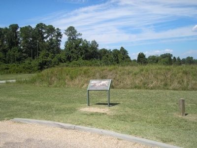
2. Marker on the Yorktown Battlefield
More about this marker. The marker is dominated by the famous John Trumbull painting of the Surrender at Yorktown. The original painting today hangs in the capital rotunda in Washington D.C. The painting identifies the French, British and American troops, as well as Rochambeau, O’Hara, Lincoln and Washington. It has a caption of “Washington’s former aide-de-camp, Colonel John Trumbull, painted The Surrender of Lord Cornwallis at Yorktown in 1797. By then, many of the American and French officers depicted here were continuing their bond of alliance through the Society of Cincinnati, formed under the leadership of General Henry Knox in 1783.”
Also see . . .
1. Yorktown Battlefield. National Park Service. (Submitted on August 23, 2008, by Bill Coughlin of Woodland Park, New Jersey.)
2. The Battle of Yorktown.
Photographed by Bill Coughlin, August 12, 2008
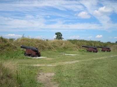
3. Second Allied Siege Lines
The marker is located near the Second Allied Siege Lines.
3. The Battle of Yorktown 1781. A British perspective of the Battle of Yorktown from BritishBattles.com. (Submitted on August 23, 2008, by Bill Coughlin of Woodland Park, New Jersey.)
Photographed by Bill Coughlin, August 12, 2008
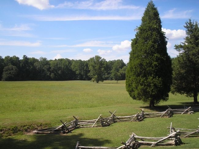
4. Surrender Field
General Lincoln led General O’Hara and the British and German soldiers to this field where they laid down the arms and colors.
Credits. This page was last revised on June 16, 2016. It was originally submitted on August 23, 2008, by Bill Coughlin of Woodland Park, New Jersey. This page has been viewed 2,121 times since then and 64 times this year. Photos: 1, 2, 3, 4. submitted on August 23, 2008, by Bill Coughlin of Woodland Park, New Jersey.
