Anniston in Calhoun County, Alabama — The American South (East South Central)
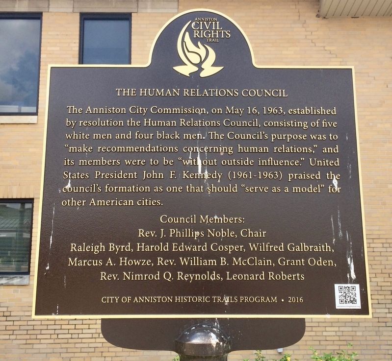
The Human Relations Council
| — | Anniston Civil Rights Trail | — |
Photographed by Mark Hilton, August 5, 2017
1. The Human Relations Council Marker
Rev. J. Phillips Noble, Chair
Raleigh Byrd, Harold Edward Cosper, Wilfred Galbraith,
Marcus A. Howze, Rev. William B. McClain, Grant Oden,
Rev. Nimrod Q. Reynolds, Leonard Roberts
Erected 2016 by City of Anniston Historic Trails Program. (Marker Number 5.)
Topics and series. This historical marker is listed in these topic lists: African Americans • Civil Rights. In addition, it is included in the Anniston Civil Rights Trail, Alabama, and the Former U.S. Presidents: #35 John F. Kennedy series lists. A significant historical date for this entry is May 16, 1963.
Location. 33° 39.559′ N, 85° 49.889′ W. Marker is in Anniston, Alabama, in Calhoun County. It is on Gurnee Avenue
this page online

Regionally, this marker is in East Alabama. It is also in the American South and specifically in the Deep South. Globally, it is in North America, a Gulf of Mexico state, the Western Hemisphere, the Western World, and the Anglosphere. Historically, it finds itself in what was once the original Cherokee Nation, the territory of the Mississippian Culture, one of the Confederate States of America, and the Antebellum South.
Other nearby markers. At least 8 other markers are within walking distance of this marker: Humble Beginnings (within shouting distance of this marker); Surrounding Development (within shouting distance of this marker); Civic Purpose (within shouting distance of this marker); The Murder of Willie Brewster (about 300 feet away, measured in a direct line); 1030 Gurnee Avenue (about 400 feet away); 1031 Gurnee Avenue (about 400 feet away); Greyhound Bus Station Protest, May 14, 1961
Photographed by Mark Hilton, August 5, 2017
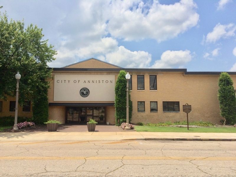
2. The Human Relations Council Marker in front of City Hall.
Regarding The Human Relations Council. When Council members attempted to integrate the "whites-only" public library on Sunday afternoon, September 15, 1963 (the same day as the 16th Street Baptist Church bombing in Birmingham), violence ensued and two council members, Rev. Nimrod Reynolds and Rev. William McClain, were severely beaten by a mob.
Credits. This page was last revised on March 7, 2021. It was originally submitted on August 6, 2017, by Mark Hilton of Montgomery, Alabama. This page has been viewed 1,022 times since then and 40 times this year. Photos: 1, 2. submitted on August 6, 2017, by Mark Hilton of Montgomery, Alabama.
