Anniston in Calhoun County, Alabama — The American South (East South Central)
Seventeenth Street Missionary Baptist Church, Organized 1887
| — | Anniston Civil Rights Trail | — |
Photographed by Mark Hilton, August 5, 2017
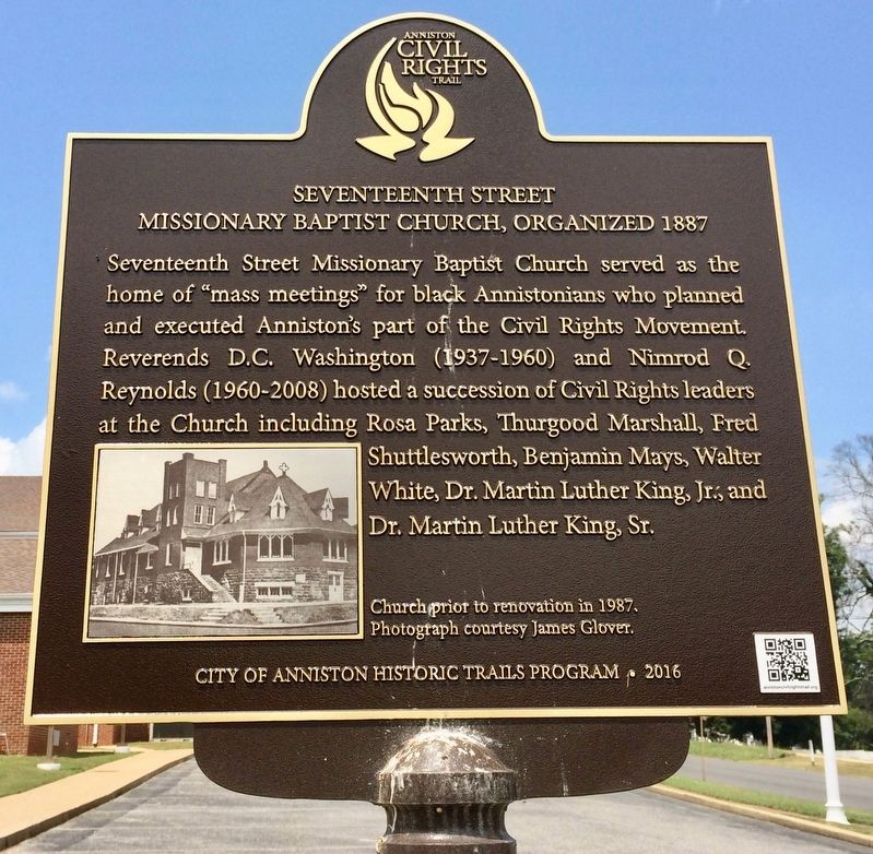
1. Seventeenth Street Missionary Baptist Church, Organized 1887 Marker
Seventeenth Street Missionary Baptist Church served as the home of "mass meetings" for black Annistonians who planned and executed Anniston's part of the Civil Rights Movement. Reverends D.C. Washington (1937-1960) and Nimrod Q. Reynolds (1960-2008) hosted a succession of Civil Rights leaders at the Church including Rosa Parks, Thurgood Marshall, Fred Shuttlesworth, Benjamin Mays, Walter White, Dr. Martin Luther King, Jr., and Dr. Martin Luther King, Sr.
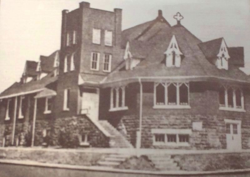
Inset photo: Church prior to renovation in 1987. Photograph courtesy James Glover.
Erected 2016 by City of Anniston Historic Trails Program. (Marker Number 9.)
Topics and series. This historical marker is listed in these topic lists: African Americans • Civil Rights • Religion & Religious Structures. In addition, it is included in the Anniston Civil Rights Trail, Alabama series list. A significant historical year for this entry is 1987.
Location. 33° 39.985′ N, 85° 50.38′ W. Marker is in Anniston, Alabama, in Calhoun County. It is at the intersection of West 17th Street and Cooper Avenue, on the right when traveling west on West 17th Street. Touch for map.
this page online

Regionally, this marker is in East Alabama. It is also in the American South and specifically in the Deep South. Globally, it is in North America, a Gulf of Mexico state, the Western Hemisphere, the Western World, and the Anglosphere. Historically, it finds itself in what was once the original Cherokee Nation, the territory of the Mississippian Culture, one of the Confederate States of America, and the Antebellum South.
Other nearby markers. At least 8 other markers are within walking distance of this marker: 509 W. 15th Street (approx. ¼ mile away); 416 W. 15th Street (approx. 0.3 miles away); West 15th Street Historic District (approx. 0.3 miles away); 1208 Walnut Avenue (approx. 0.6 miles away); 1311 Gurnee Avenue (approx. 0.6 miles away); 1302 Noble Street (approx. 0.7 miles away); 1301 Noble Street (approx. 0.7 miles away); 1230 Noble Street (approx. 0.7 miles away). Touch for a list and map of all markers in Anniston.
Photographed by Mark Hilton, August 5, 2017
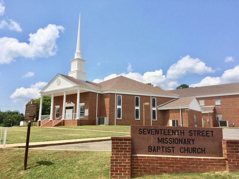
2. The Seventeenth Street Missionary Baptist Church
Photographed by Mark Hilton, August 5, 2017
3. Seventeenth Street Missionary Baptist Church (Photo taken from marker)
Credits. This page was last revised on March 7, 2021. It was originally submitted on August 7, 2017, by Mark Hilton of Montgomery, Alabama. This page has been viewed 1,120 times since then and 59 times this year. Photos: 1, 2, 3. submitted on August 7, 2017, by Mark Hilton of Montgomery, Alabama.
