Colonia Tlatelolco in Ciudad de México, Mexico — The Valley of Mexico (The Central Highlands)
The Small Area of Tlatelolco
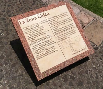
En el patio estucado se aprecian restos de las habitaciones de quienes hacían los mantenimientos de los templos.
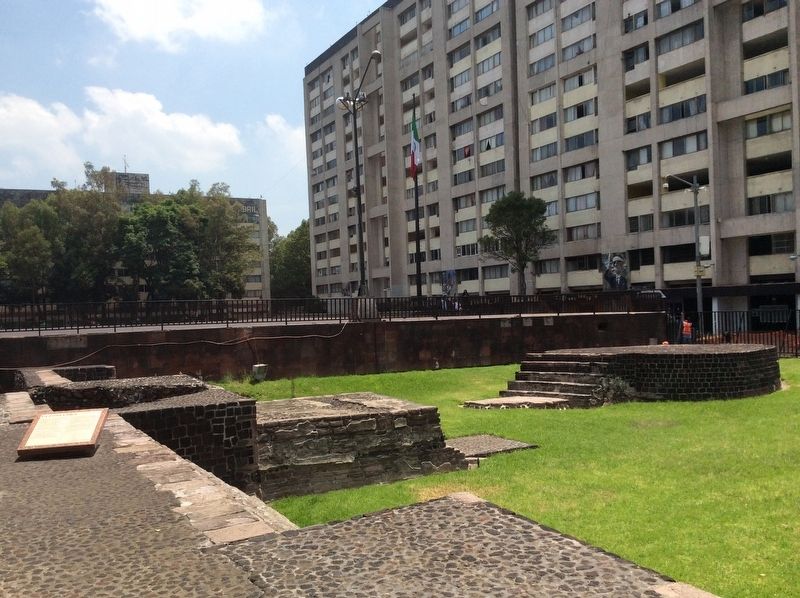
En la escalinata del acceso hacia el oriente se observa un pequeño altar rectangular que delimita el centro del mismo Recinto. Se ubica de frente a un gran adoratorio circular que esta orientado al oeste.
Evidencia de la ocupación colonial de Tlatelolco son los restos de un equino que se localizaron sobre el adoratorio.
Within the stuccoed courtyard stand the remains of the quarters where the workers responsible for the temples’ maintenance once lived.
On the eastern stairway we see a small rectangular altar that stands in the centre of the Enclosure. It was built in front of a large, circular shrine that faces west.
The remains of a horse found atop the shrine are evidence of Colonial-period occupation in Tlatelolco.
Erected by Conaculta - INAH.
Topics. This historical marker is listed in these topic lists: Architecture • Colonial Era • Man-Made Features • Native Americans.
Location. 19° 27.075′ N, 99° 8.17′ W. Marker is in Ciudad de México. It is in Colonia Tlatelolco. Marker can be reached from Almacenes. Touch for map. Marker is at or near this postal address: Almacenes 74, Ciudad de México 06900, Mexico. Touch for directions.
Other nearby markers. At least 8 other markers are within walking distance of this marker. Tlatelolco Massacre of October 2, 1968 (within shouting distance of this marker); Church of Santiago (within shouting distance of this marker); Architectonic puzzle: The façade of Tecpan (within shouting distance of this marker); From peaceful convent to bellicose military barracks (about 90 meters away, measured in a direct line); Santiago Church (about 90 meters away); Friar Bernardino Sahagún (about 90 meters away); Tzompantli altar (“flag of heads”) of the north (about 90 meters away); The Reign of Cuauhtemoctzin (about 90 meters away). Touch for a list and map of all markers in Ciudad de México.
Credits. This page was last revised on April 17, 2020. It was originally submitted on August 12, 2017, by J. Makali Bruton of Accra, Ghana. This page has been viewed 171 times since then and 11 times this year. Photos: 1, 2. submitted on August 12, 2017, by J. Makali Bruton of Accra, Ghana.

