Mayflower in Newton County, Texas — The American South (West South Central)
The Old Beef Road
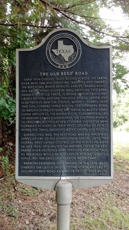
Photographed by Tom Bosse, July 4, 2017
1. The Old Beef Road Marker
During the Civil War, the Beef Road was an important supply artery to the Confederate States, until the Federal Army gained control of the Mississippi River in July 1863. This halted the eastern cattle drives. Sabine River crossings were fortified against attack, as the roads would be a necessity for an invading force, but he expected invasion never came.
Railroad expansion into Kansas, in the late 1860s, diverted the cattle drives to the north, and led to decline of Beef Road as a major cattle trade route.
Erected 1973 by State Historical Survey Committee. (Marker Number 11097.)
Topics. This historical marker is listed in these topic lists: Roads & Vehicles • War, US Civil.
Location. 31° 5.513′ N, 93° 43.551′ W. Marker is in Mayflower, Texas, in Newton County. It is at the intersection of State Highway 87 and County Highway 1100, on the right when traveling south on State Highway 87. Touch for map. Marker is in this post office area: Wiergate TX 75977, United States of America. Touch for directions.

Regionally,
this page online
Other nearby markers. At least 8 other markers are within 8 miles of this marker, measured as the crow flies: Mattox Cemetery (approx. 0.4 miles away); The Survey Community (approx. 0.6 miles away); Wiergate (approx. 5.9 miles away); Blum Male and Female College (approx. 7.3 miles away); Cade Building (approx. 7.3 miles away); Round Table Inn (approx. 7.4 miles away); Burkeville Church of God (approx. 7.4 miles away); Tanner Cemetery (approx. 7.4 miles away). Touch for a list and map of all markers in Mayflower.
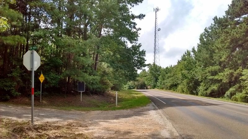
Photographed by Tom Bosse, July 4, 2017
2. The Old Beef Road Marker
Credits. This page was last revised on August 21, 2017. It was originally submitted on August 17, 2017, by Tom Bosse of Jefferson City, Tennessee. This page has been viewed 964 times since then and 43 times this year. Photos: 1, 2. submitted on August 17, 2017, by Tom Bosse of Jefferson City, Tennessee. • Bernard Fisher was the editor who published this page.
