Anderson in Anderson County, South Carolina — The American South (South Atlantic)
Old Hopewell Cemetery
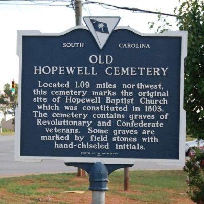
Photographed by Brian Scott, August 23, 2008
1. Old Hopewell Cemetery Marker
Located 1.09 miles northwest, this cemetery marks the original site of Hopewell Baptist Church which was constituted in 1803. The cemetery contains graves of Revolutionary and Confederate veterans. Some graves are marked by field stones with hand-chiseled initials.
Erected 1975 by Hopewell Baptist Church Congregation. (Marker Number 4-14.)
Topics. This historical marker is listed in these topic lists: Cemeteries & Burial Sites • Religion & Religious Structures • War, US Civil • War, US Revolutionary. A significant historical year for this entry is 1803.
Location. 34° 35.811′ N, 82° 36.994′ W. Marker is in Anderson, South Carolina, in Anderson County. It is on East Greenville Street, on the left when traveling south. Marker is located in the southeast corner of the intersection of SC 81 (Greenville Street) and Hopewell/Concord Roads. Touch for map. Marker is in this post office area: Anderson SC 29621, United States of America. Touch for directions.

Regionally, this marker is in Upstate and in the Greater Greenville-Spartanburg Area. It is also in the American South and specifically in the Deep South.
this page online
Other nearby markers. At least 10 other markers are within 6 miles of this marker, measured as the crow flies: Hopewell Church (approx. half a mile away); "Lord, We Are Grateful" (approx. 3.8 miles away); Lebanon Baptist Church (approx. 4.4 miles away); Veterans of All Wars (approx. 4½ miles away); Anderson, S.C. (approx. 5.2 miles away); World War I and II Veterans (approx. 5.2 miles away); Korean War / Viet Nam Veterans (approx. 5.2 miles away); World War I Memorial (approx. 5.2 miles away); Weather Reporting Station (approx. 5.3 miles away); The Hole (approx. 5.4 miles away). Touch for a list and map of all markers in Anderson.
Another marker is no longer nearby. M42A1 "Duster" (was approx. 5 miles away but has been confirmed missing).
Regarding Old Hopewell Cemetery. Note: The cemetery located at the Hopewell Baptist
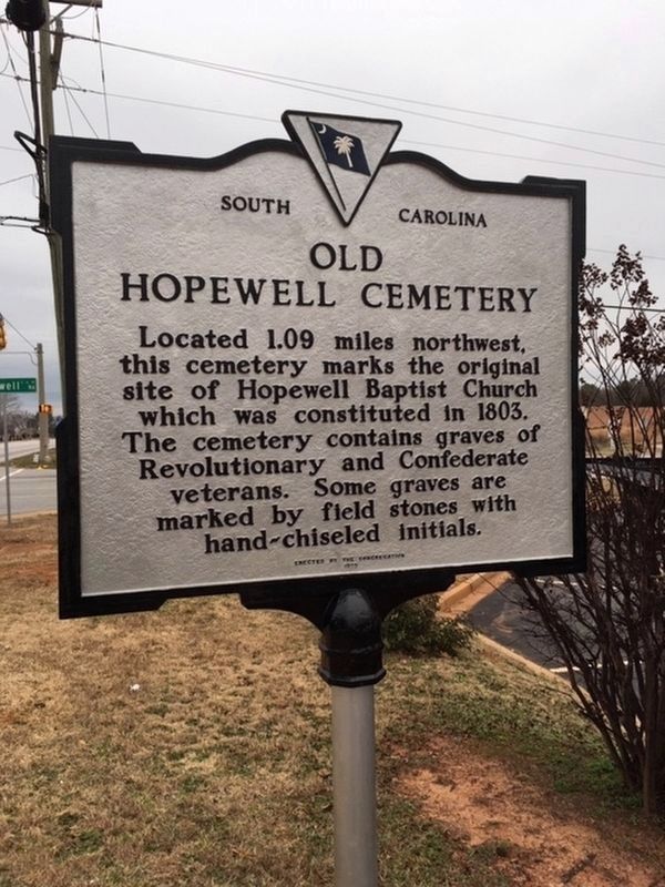
Photographed by Randy Tucker, January 12, 2019
2. Old Hopewell Cemetery Marker
Related marker. Click here for another marker that is related to this marker. To better understand the relationship, study each marker in the order shown.
Additional commentary.
1. Directions to Old Hopewell Cemetery
1) From the church, travel east alone Hopewell Road toward SC Highway 81.
2) Cross over 81 onto Concord Road. Turn right onto Shackelburg Road (SC Highway 276).
3) Turn right onto Hidden Falls Drive.
4) Look a sign on the right. Walk up the steep path and the cemetery will be in the woods to your right.
— Submitted January 4, 2009, by Brian Scott of Anderson, South Carolina.
Photographed by Brian Scott, August 23, 2008
3. Old Hopewell Cemetery Marker
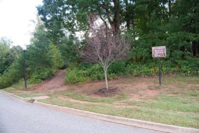
Photographed by Brian Scott, October 2, 2012
4. Old Hopewell Cemetery Entrance
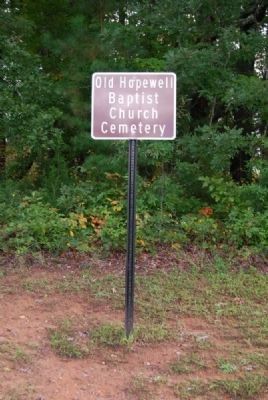
Photographed by Brian Scott, October 2, 2012
5. Old Hopewell Cemetery Sign
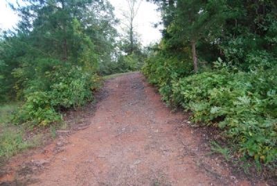
Photographed by Brian Scott, October 2, 2012
6. Walkway Leading to Old Hopewell Cemetery
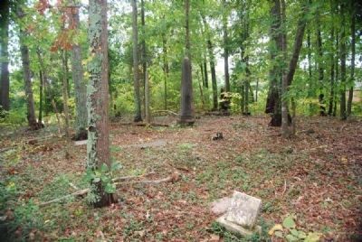
Photographed by Brian Scott, October 2, 2012
7. Old Hopewell Cemetery
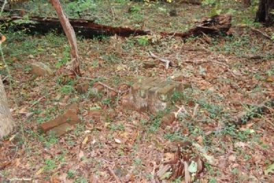
Photographed by Brian Scott, October 2, 2012
8. Old Hopewell Cemetery
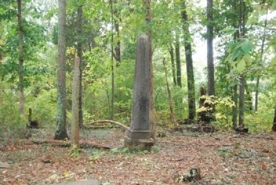
Photographed by Brian Scott, October 2, 2012
9. Old Hopewell Cemetery
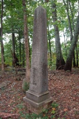
Photographed by Brian Scott, October 2, 2012
10. Martha Barksdale Tombstone
March 10, 1797 - January 20, 1854
March 10, 1797 - January 20, 1854
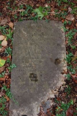
Photographed by Brian Scott, October 2, 2012
11. Isaac Cannon Tombstone
December 31, 1809 - August 11, 1857
December 31, 1809 - August 11, 1857
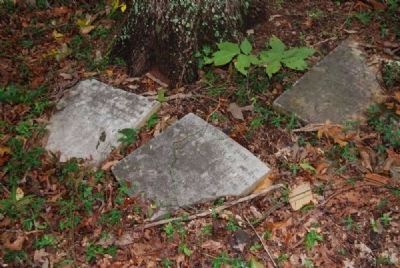
Photographed by Brian Scott, October 2, 2012
12. Susan Cannon
November 25, 1813 - January 20, 1869
November 25, 1813 - January 20, 1869
Photographed by Brian Scott, October 2, 2012
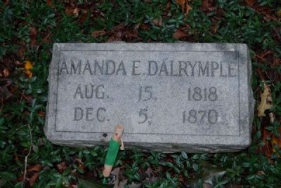
13. Amanda E. Dalrymple Tombstone
August 15, 1818 - December 5, 1870
August 15, 1818 - December 5, 1870
Photographed by Brian Scott, October 2, 2012
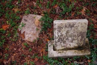
14. Mary Dalrymple Tombstone
January 7, 1788 - October 11, 1846
January 7, 1788 - October 11, 1846
Photographed by Brian Scott, October 2, 2012
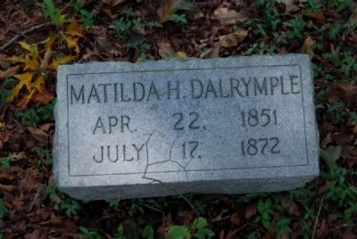
15. Matilda H. Dalrymple Tombstonw
April 22, 1851 - July 17, 1872
April 22, 1851 - July 17, 1872
Photographed by Brian Scott, October 2, 2012
16. William Millwee Tombstone
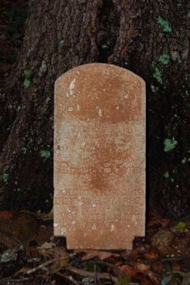
Photographed by Brian Scott, October 2, 2012
17. Ed Scott Tombstone
January 30, 1919 - February 27, 1920
January 30, 1919 - February 27, 1920
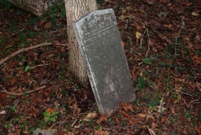
Photographed by Brian Scott, October 2, 2012
18. Unidentified Tombstone #1
Photographed by Brian Scott, October 2, 2012
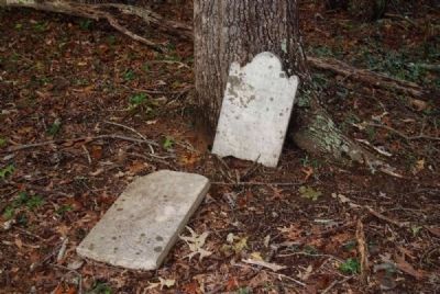
19. Unidentified Tombstone #2
Photographed by Brian Scott, October 2, 2012
20. Unidentified Tombstone #3
Credits. This page was last revised on October 14, 2020. It was originally submitted on August 23, 2008, by Brian Scott of Anderson, South Carolina. This page has been viewed 4,222 times since then and 114 times this year. Last updated on August 25, 2008, by Brian Scott of Anderson, South Carolina. Photos: 1. submitted on September 23, 2010, by Brian Scott of Anderson, South Carolina. 2. submitted on January 20, 2019, by Randy Tucker of Greenville, South Carolina. 3. submitted on August 23, 2008, by Brian Scott of Anderson, South Carolina. 4, 5, 6, 7, 8, 9, 10, 11, 12, 13, 14, 15, 16, 17, 18, 19, 20. submitted on October 27, 2012, by Brian Scott of Anderson, South Carolina. • Craig Swain was the editor who published this page.
