Oconee in Washington County, Georgia — The American South (South Atlantic)
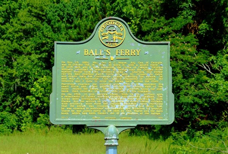
Ball's Ferry
Hartridge reached the vicinity about 3:00 P.M., deployed his small force and, after fighting through the swamps east of the river, routed the enemy. He entrenched a position along the east bank, then returned to Oconee with part of his command.
On the 25th, Lt. Col. Andrew Young, 30th Ga. Bn., arrived with a detachment of Gaines’ Alabama cavalry and assumed command. The works were strengthened and skirmishers were deployed on both flanks, but the arrival on the west bank of strong enemy columns, with artillery, soon made the position untenable. Upon reporting that the enemy was crossing the river above and below him, he was ordered to extricate his command and withdraw to Tennille. There he was joined early on the 26th by Gen. Wayne and the main body, which had been flanked out of its position at the bridge.
Erected 1958 by Georgia Historical Commission. (Marker Number 158-11.)
Topics. This historical marker is listed in these topic lists: War, US Civil • Waterways & Vessels.
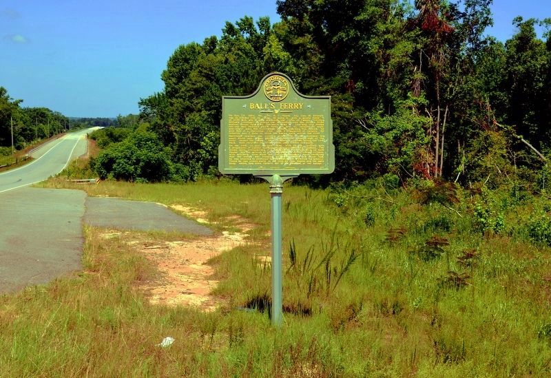
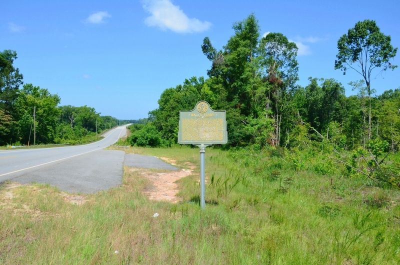
Location. 32° 46.933′ N, 82° 56.783′ W. Marker is in Oconee, Georgia, in Washington County. Marker is at the intersection of Georgia Route 57 and Unnamed private road leading S from GA Hwy 57 when traveling west on State Route 57. The marker is located approximately 1.2 miles west of Georgia Highway 68. It is approximately 1/3 mile east of the new bridge over the Oconee River. Touch for map. Marker is in this post office area: Oconee GA 31067, United States of America. Touch for directions.
Other nearby markers. At least 8 other markers are within 9 miles of this marker, measured as the crow flies. The Defense of Ball's Ferry (approx. 0.7 miles away); a different marker also named Ball's Ferry (approx. ¾ mile away); a different marker also named Ball's Ferry (approx. 1.1 miles away); Jefferson Davis (approx. 1.2 miles away); Sherman's Right Wing (approx. 2.6 miles away); The Defense of the Oconee Bridge (approx. 5.1 miles away); Irwin’s Crossroad (approx. 7.6 miles away); Toomsboro (approx. 8.2 miles away). Touch for a list and map of all markers in Oconee.
More about this marker. This marker was originally erected on the west bank of the Oconee River in Wilkinson County and carries that number (County 158). When the bridge was reconstructed a few year ago the marker was reinstalled in a more appropriate location on the east bank of the river, which puts it in Washington County. The marker was not renumbered to reflect its new location.
Credits. This page was last revised on December 5, 2019. It was originally submitted on August 20, 2017, by David Seibert of Sandy Springs, Georgia. This page has been viewed 367 times since then and 17 times this year. Photos: 1, 2, 3. submitted on August 20, 2017, by David Seibert of Sandy Springs, Georgia.


