Plymouth in Plymouth County, Massachusetts — The American Northeast (New England)
America’s First Street
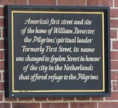
Photographed by Bill Coughlin, August 22, 2017
1. America’s First Street Marker
Topics. This historical marker is listed in these topic lists: Colonial Era • Roads & Vehicles • Settlements & Settlers.
Location. 41° 57.353′ N, 70° 39.823′ W. Marker is in Plymouth, Massachusetts, in Plymouth County. It is at the intersection of Leyden Street and Main Street, on the left when traveling west on Leyden Street. Touch for map. Marker is in this post office area: Plymouth MA 02360, United States of America. Touch for directions.

Regionally, this marker is on the South Shore. It is also in the American Northeast, in New England, and on the Eastern Seaboard. Globally, it is in the North Atlantic Region, North America, the Western Hemisphere, the Western World, and the Anglosphere. Historically, it finds itself in what was once one of the original Thirteen Colonies.
Other nearby markers. At least 8 other
this page online
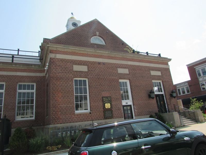
Photographed by Bill Coughlin, August 22, 2017
2. America’s First Street Marker
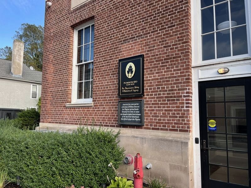
Photographed by Adam Margolis, September 15, 2025
3. America’s First Street Marker
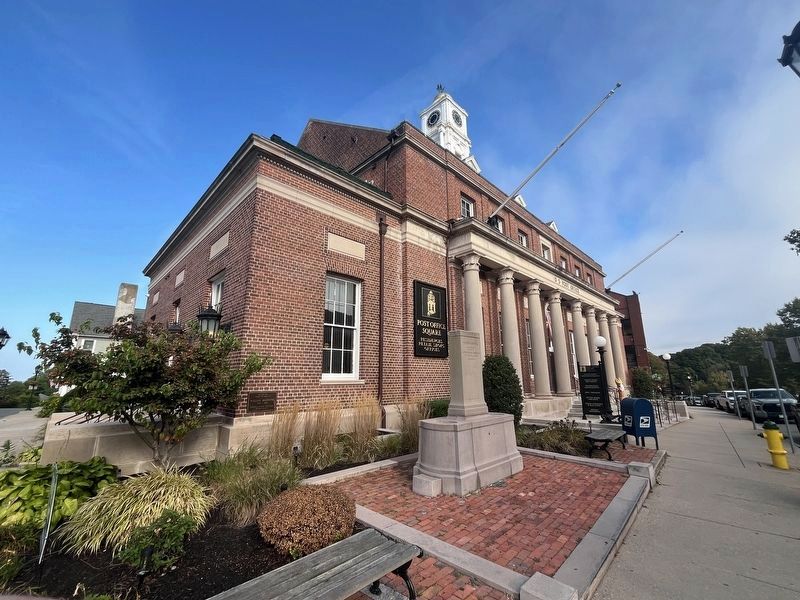
Photographed by Adam Margolis, September 15, 2025
4. America’s First Street Marker
Credits. This page was last revised on March 30, 2026. It was originally submitted on August 25, 2017, by Bill Coughlin of Woodland Park, New Jersey. This page has been viewed 914 times since then and 70 times this year. Photos: 1, 2. submitted on August 25, 2017, by Bill Coughlin of Woodland Park, New Jersey. 3, 4. submitted on March 16, 2026, by Adam Margolis of Mission Viejo, California.
