Penn Yan in Yates County, New York — The American Northeast (Mid-Atlantic)
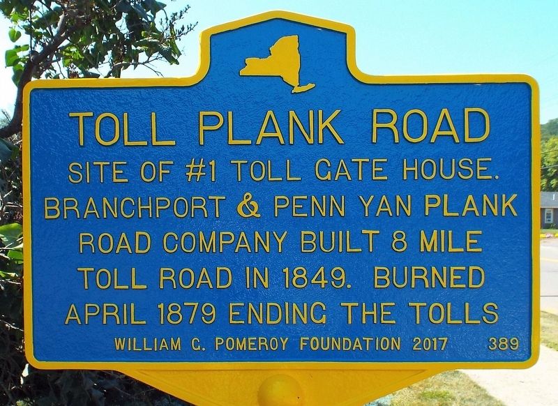
Toll Plank Road
Photographed by Forest McDermott, August 21, 2017
1. Toll Plank Road Marker
Erected 2017 by William G. Pomeroy Foundation. (Marker Number 389.)
Topics and series. This historical marker is listed in these topic lists: Industry & Commerce • Man-Made Features • Roads & Vehicles. In addition, it is included in the William G. Pomeroy Foundation series list. A significant historical year for this entry is 1849.
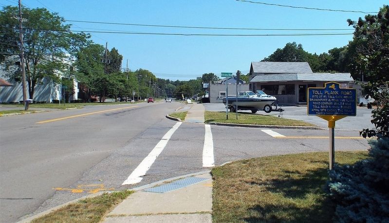
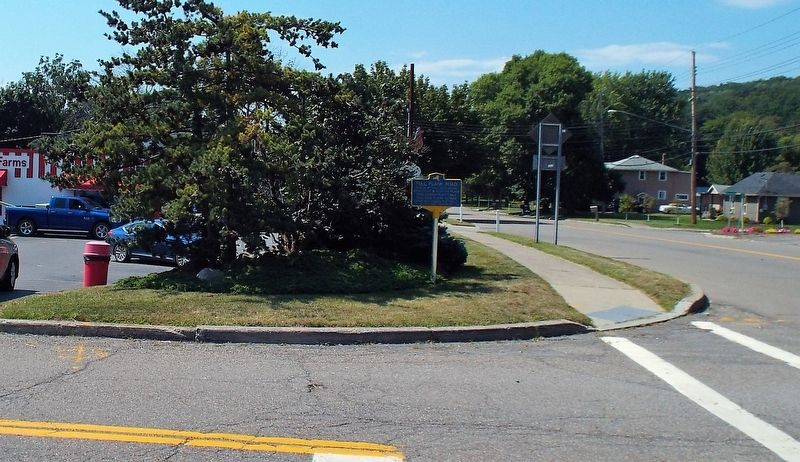
Location. 42° 39.33′ N, 77° 4.311′ W. Marker is in Penn Yan, New York, in Yates County. It is at the intersection of W Lake Road (New York State Route 54A) and Ritchie Blvd., on the left when traveling south on W Lake Road. Touch for map. Marker is at or near this postal address: 2485 W Lake Road, Penn Yan NY 14527, United States of America. Touch for directions.

Regionally, this marker is in Upstate New York, specifically in Western New York, and in the Finger Lakes. It is also in the American Northeast and in the Mid-Atlantic. Globally, it is in North America, the Western Hemisphere, the Western World, and the Anglosphere. Historically,
this page online
Other nearby markers. At least 8 other markers are within walking distance of this marker: Penn Yan Boats (approx. half a mile away); Adelbert M. Todd (approx. 0.8 miles away); Crooked Lake Canal Stone (approx. 0.9 miles away); Keuka Outlet Trail (approx. 0.9 miles away); 158 Main Street (approx. one mile away); 130 Main Street (approx. one mile away); Medal of Honor Recipients (approx. one mile away); Revolutionary War Memorial (approx. one mile away). Touch for a list and map of all markers in Penn Yan.
Photographed by Forest McDermott, August 21, 2017
2. Toll Plank Road Marker
Photographed by Forest McDermott, August 21, 2017
3. Toll Plank Road Marker
Credits. This page was last revised on September 11, 2021. It was originally submitted on August 28, 2017, by Forest McDermott of Masontown, Pennsylvania. This page has been viewed 469 times since then and 24 times this year. Photos: 1, 2, 3. submitted on August 28, 2017, by Forest McDermott of Masontown, Pennsylvania. • Bill Pfingsten was the editor who published this page.
